
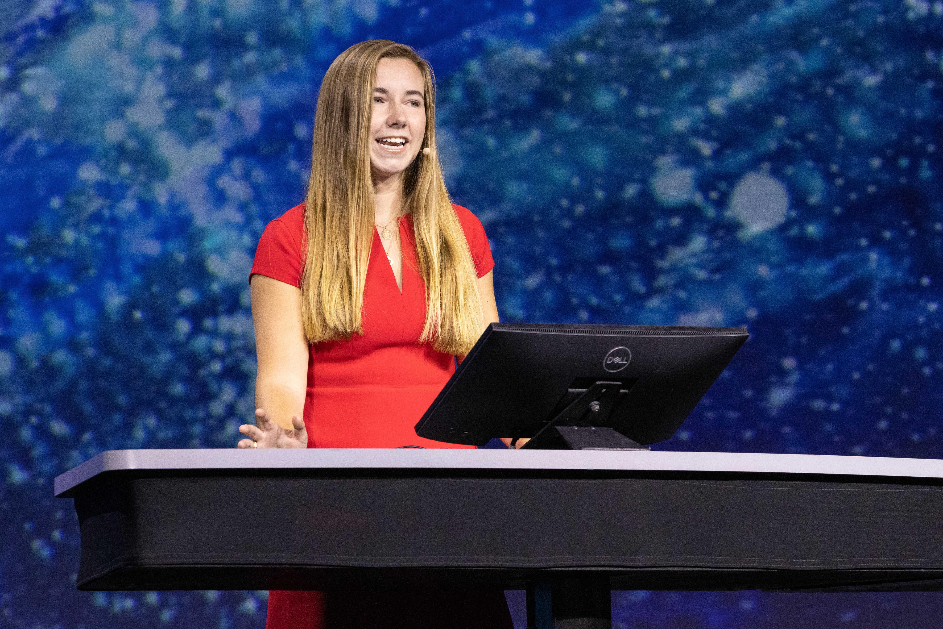
Charting a World Water Strategy
Dr. Marc Bierkens, Utrecht University


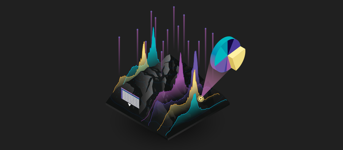
Geospatial technology provides a foundation for building digital twins with real-world context, adding essential integrative power to unite disparate data sources.

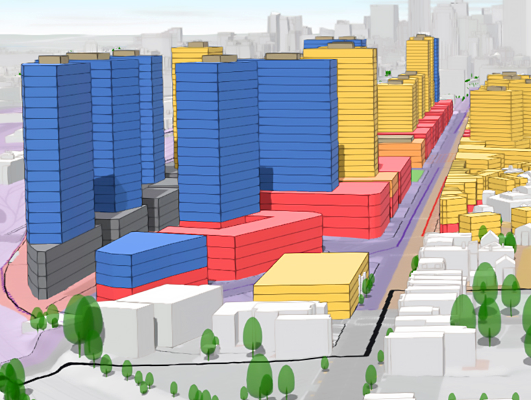
This easy-to-use experience helps you work with global data, extends ArcGIS investments, and simplifies creating, editing, and sharing KML work.


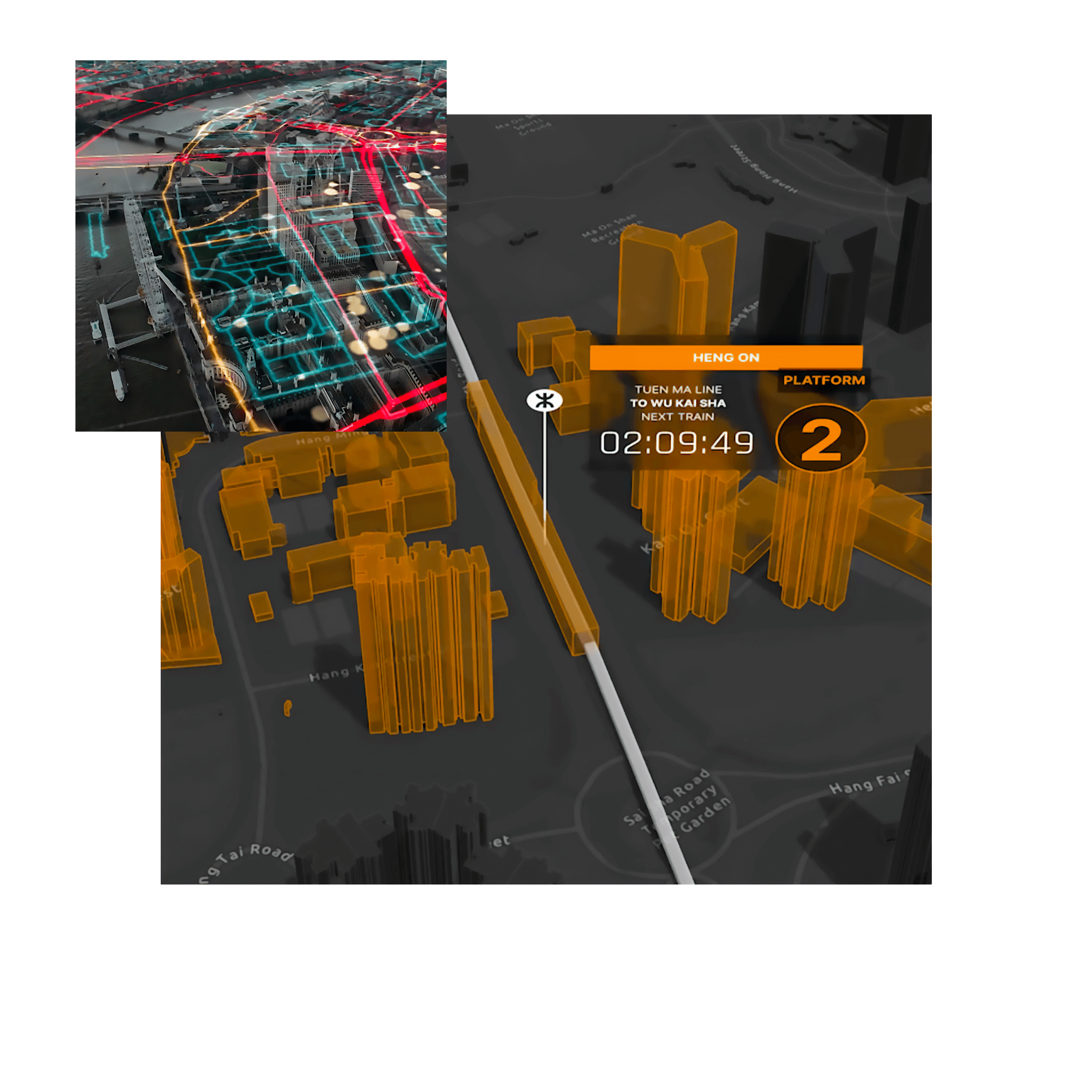
Get a virtual front row seat to the Plenary Session live streams, participate in select technical sessions, browse the online Esri UC Map Gallery, and more.