

Chat online
Start chat
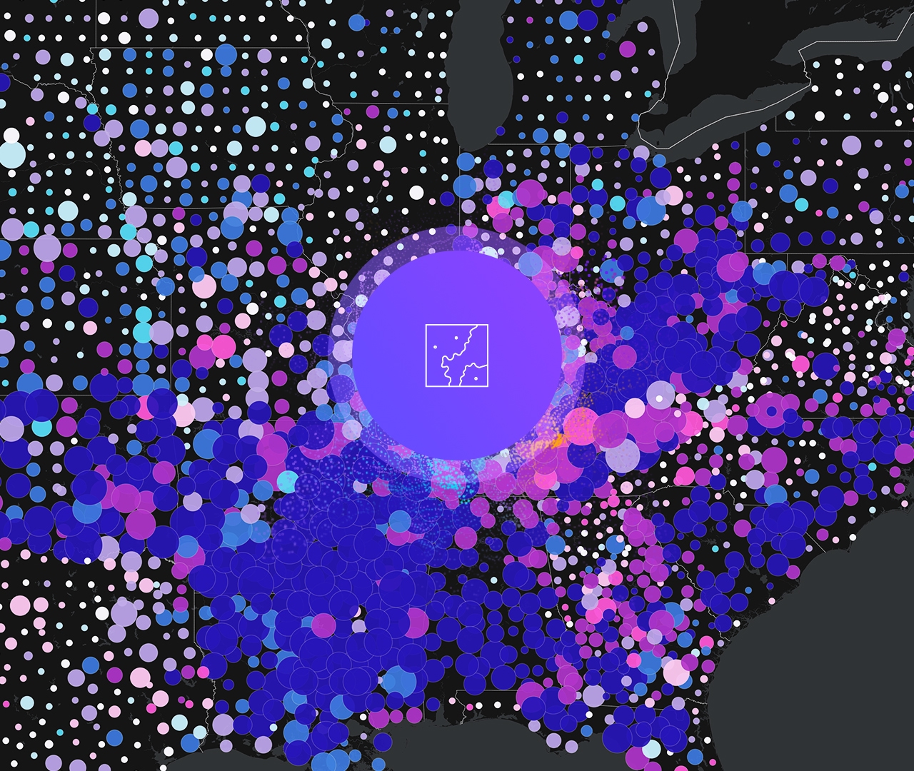
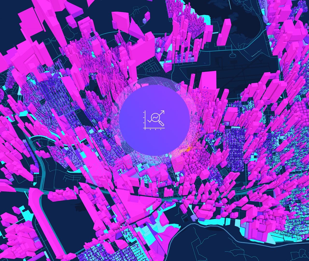
Power your location intelligence
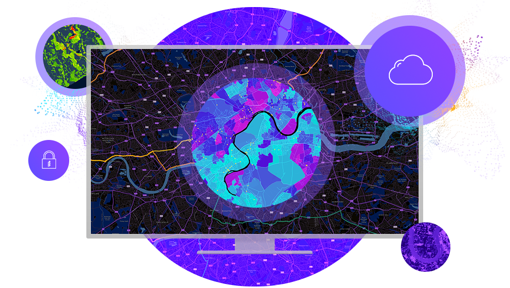
Build your foundation with ArcGIS Enterprise.

The ArcGIS Architecture Center offers resources for IT professionals on implementing a GIS. Learn about ArcGIS system patterns, architecture practices, and explore a library of design resources that will set you up for success.

Get started with ArcGIS Enterprise, the industry-leading geospatial system. Boost your spatial prowess with Esri's extensive collection of apps and add-on capabilities.

ArcGIS Enterprise powers ArcGIS Pro, the dynamic next generation desktop GIS technology that gives you everything you need to create and share 2D and 3D maps.
ArcGIS Enterprise seamlessly collaborates with this software-as-a-service app, giving you the same powerful mapping tools in the cloud for your convenience.
Extend the power of ArcGIS Enterprise with apps that enhance your workflow from the office to the field.
Don't see what you need? Use our APIs and SDKs to build your own GIS applications for desktop, web, and mobile devices.
Explore the ArcGIS Enterprise license options and add-ons. To set up a complete system that will work best for your organization, contact sales.
7:00 a.m.–5:00 p.m., Monday through Friday (PT)