By Aileen Buckley, Mapping Center Lead
Need data for the U.S. or the world? Have you checked out the Esri Data & Maps collection? This collection includes:
* Over 120 pre-symbolized vector data layers for North America, Europe, and the world.
* Basemap and thematic map documents with scale-dependent rendering and labeling and the ability to turn layers on and off.
* Commercial data from TomTom, Michael Bauer Research, World Wildlife Fund, and Esri.
* All levels of 2000 U.S. Census geography and ZIP Codes.
The datasets follow the Federal Geographic Data Committee (FGDC) standard and contain ISO 19115-compliant metadata. Data is provided in Esri’s compressed, direct-read, high-performance Smart Data Compression (SDC) format.
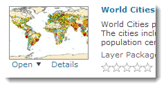
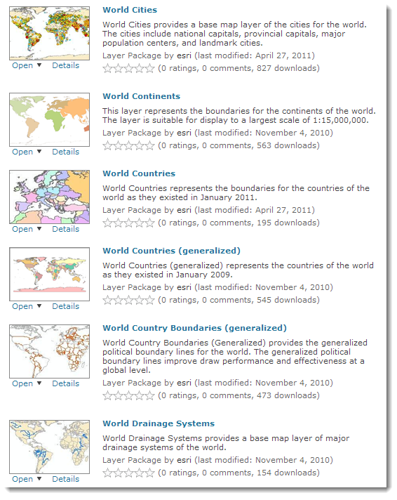
Here is an example of some of the data for the world:
Redistribution Rights
Each data vendor has its own data licensing policies and may grant varying redistribution rights to end users. Please consult the Redistribution Rights document to determine the redistribution rights for each data file. There are five levels:
- No—Internal Use Only
- Yes 1—Redistribution rights are granted by the data vendor for hardcopy renditions or static, electronic map images (for example, .gif, .jpeg) that are plotted, printed, or publicly displayed with proper metadata and source/copyright attribution to the respective data vendor/vendors.
- Yes 2—Geodata is redistributable with a value-added software application developed by ESRI Business Partners on a royalty-free basis with proper metadata and source/copyright attribution to the respective data vendor/vendors.
- Yes 3—Geodata is redistributable without a value-added software application (that is, adding the sample data to an existing, [non]commercial dataset for redistribution) with proper metadata and source/copyright attribution to the respective data vendor/vendors.
- Yes 4—Public domain data from the U.S. government is freely redistributable with proper metadata and source attribution.
Download Data & Maps from ArcGIS Online
Get the latest updates to Data & Maps by downloading a collection of layer packages through the Esri Data & Maps Group on ArcGIS Online.
Layer packages include the data as well as a symbolized version of it, so you can use the layers as they are in your ArcMap document, or you can add the data to your project and symbolize it as you wish.
Accessing the Data on the DVDs
As noted above, you can access the vector data ion ArcGIS Online. But you can also access it on the DVDs that were originally shipped with your software.
For users who were on maintenance at 9.3.1 or earlier, you have already received the DVDs. And if you have multiple versions of previous software (e.g., 9.3 and 9.3.1) you will have multiple copies of these same DVDs.
For newer users who started with 10.0 or users who are on a maintenance program or for users who cannot find the DVDs, you can request the four-DVD set of these data at the following link: http://www.esri.com/data/data-maps/imageryDVD.html.
(Users who are not on a maintenance program cannot request these data free of charge.)
Elevation and Imagery Data
You might note that the elevation and imagery data on the Esri Maps & Data DVD are not on ArcGIS Online – this makes sense since the Elevation and Imagery data are considered too large for the average user to reasonably download.
And at ArcGIS version 10, the decision was made to no longer ship the Elevation and Imagery collection to all users because the content has not changed since it was first released. So if you were using ArcGIS prior to version 10, and you still have your previous Data & Maps DVDs, continue to use these to access the data. If you are new at ArcGIS at version 10 and you are on a maintenance program, use the link above to request the elevation and imagery data.
For More Information
For more information about the data, visit ArcGIS 10 Help—What is Esri Data & Maps or read the Esri Data & Maps 10 White Paper [PDF].
Thanks to James Shimota, Esri Content Team, for his help with this blog entry!

Article Discussion: