Skip to Content

ArcGIS Network Analyst Extension

Advanced vehicle routing tools to maximize transportation efficiency

Collection of digital maps and street maps and a satellite image of land and ocean

The ArcGIS Network Analyst extension enables the effective movement of goods, efficient organization and coordination of vehicles, and intelligent transport network analysis. Make smarter decisions by developing strategic routing plans. Save time and money by creating and implementing daily route plans to solve vehicle routing problems and perform postroute spatial network analysis for greater insight. Integrate with existing workflows and business systems for increased organizational efficiency.

Routing tools for all your business needs

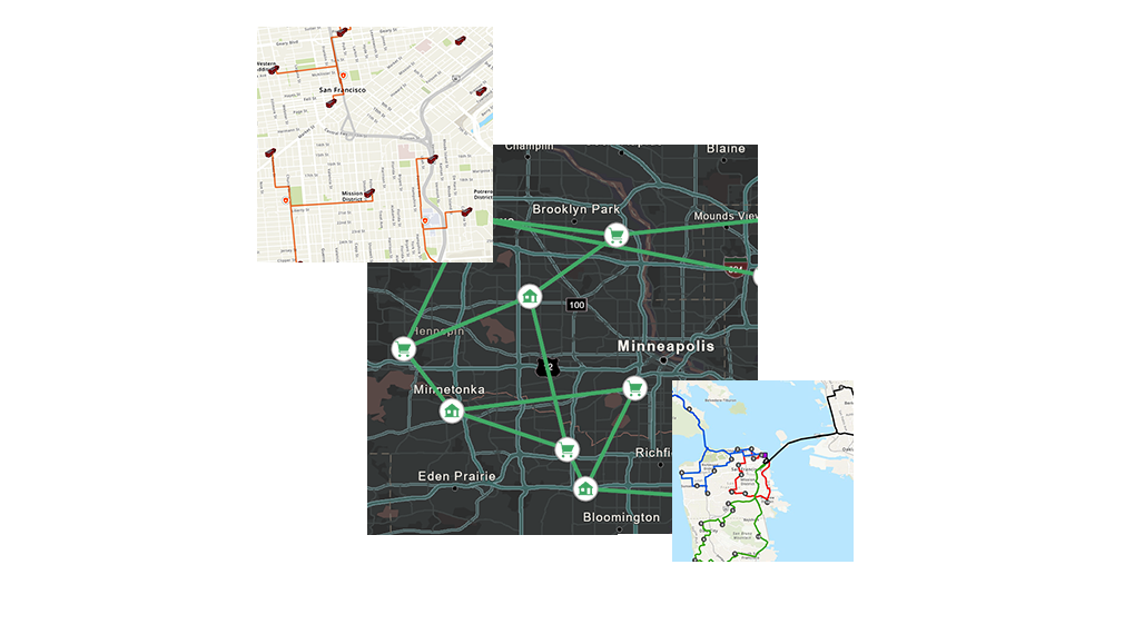
Improve customer satisfaction

A satisfied customer base can help you grow your business and increase profitability. Improve your customer service with optimized route planning and improved estimated time of arrival (ETA). Cover greater geographic areas, serve more customers in a day, and arrive on time more often.

Enhance operational efficiency

Cut costs and increase efficiency through a daily operational plan. Spatially visualize your operations to see what is happening every step of the way. Model your stops, drivers, vehicles, and depots accurately. All these help reduce overall mileage while getting more work done in less time.

Scale your operations

Scale your operations with seamless integration. Network Analyst extension integrates with an organization's entire business system. Global data coverage enables a consistent spatial network analysis for all regions of the world. Enhance communication with mobile workers by sending routes and directions directly to the field on mobile devices.

How ArcGIS Network Analyst works

A black street map of Minneapolis with circular house and shopping cart icons next to two street maps with street names

Select Network Analyst extension

Choose the right tools for your organization's needs from a vast selection of advanced routing tools.

Solve complex routing problems

Create intelligent models and use case-specific routes. A comprehensive set of business rules helps users model real-world transportation scenarios.

Share your results

Easily share and communicate plans across your organization within existing workflows to enhance decision-making and increase operational efficiency.

Success story

Analysis and maps prevent fraud

The United States Postal Service produces monthly analysis and map reports to carefully monitor drivers to detect fuel card fraud.

Read the case study

Maximize your routing efficiency

Solve vehicle routing problems, develop strategic route plans, and share them across your organization. Perform post route analysis with ArcGIS Network Analyst extension for ArcGIS Pro and ArcGIS Enterprise.

ArcGIS Pro

ArcGIS Pro

Take advantage of data visualization, advanced analysis, and more with ArcGIS Pro, a next generation desktop GIS.

Learn about ArcGIS Pro
ArcGIS Enterprise

ArcGIS Enterprise

ArcGIS Enterprise, a foundational system for GIS, runs behind the firewall, on-premises, or in the cloud and powers comprehensive functionality via apps and add-on capabilities.

Learn about ArcGIS Enterprise
ArcGIS StreetMap Premium

ArcGIS StreetMap Premium

Get high-quality street data for use in ArcGIS. Install securely behind your firewall for map display, geocoding, optimized routing, driving directions, and network analysis.

Explore StreetMap Premium
ArcGIS Navigator

ArcGIS Navigator

Access an advanced Android and iOS navigation and routing app for your workforce.

Explore ArcGIS Navigator

Contact sales


Please share your information and our sales team will contact you soon. We look forward to communicating with you.

Contact us

Outside the United States