Skip to Content
A black background fades into a satellite image of a green coastal landscape

Imagery Content

Ready-to-use imagery and data layers

Extend your work with content from open-source and commercial imagery data providers, Esri partners, and worldwide sources.

Find the right solution
A satellite image of a coastline shows terrain data in green with yellow hotspots

Add context with global content

Get access to a vast collection of imagery and remotely sensed data

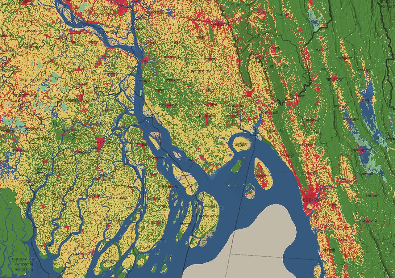
Esri curates thousands of maps, apps, and datasets from authoritative and commercial sources and makes them available to you, ready to use, via ArcGIS Living Atlas of the World. Find the imagery content you need to visualize remotely sensed images on maps, perform image analyses, and layer imagery data with other spatial information.

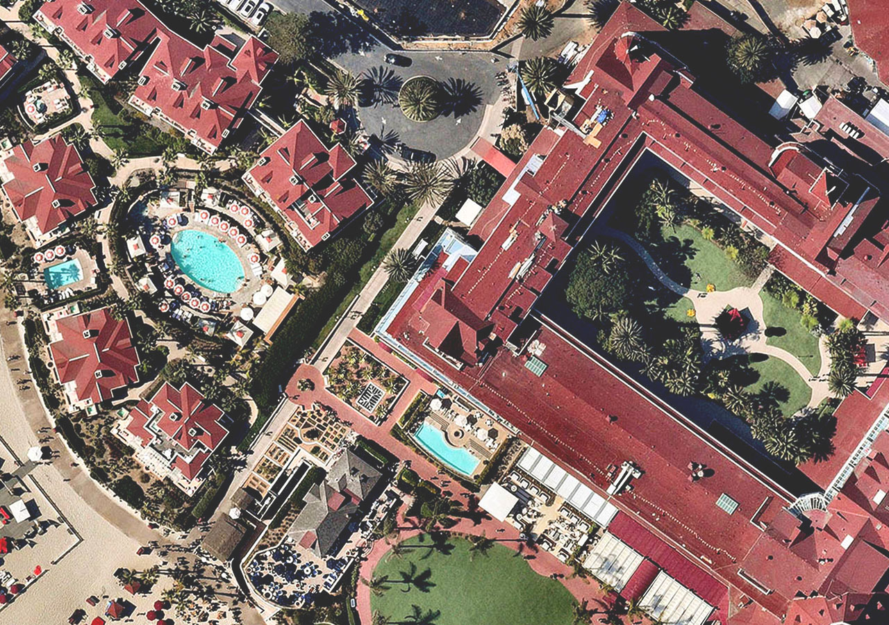
All types of imagery and geospatial content

Start with ready-to-use layers like world imagery and land cover, then explore apps, deep learning models, and other global geospatial datasets.

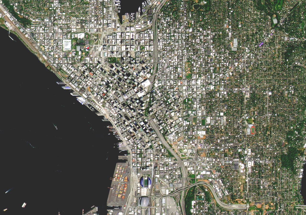
More sources of global and regional imagery

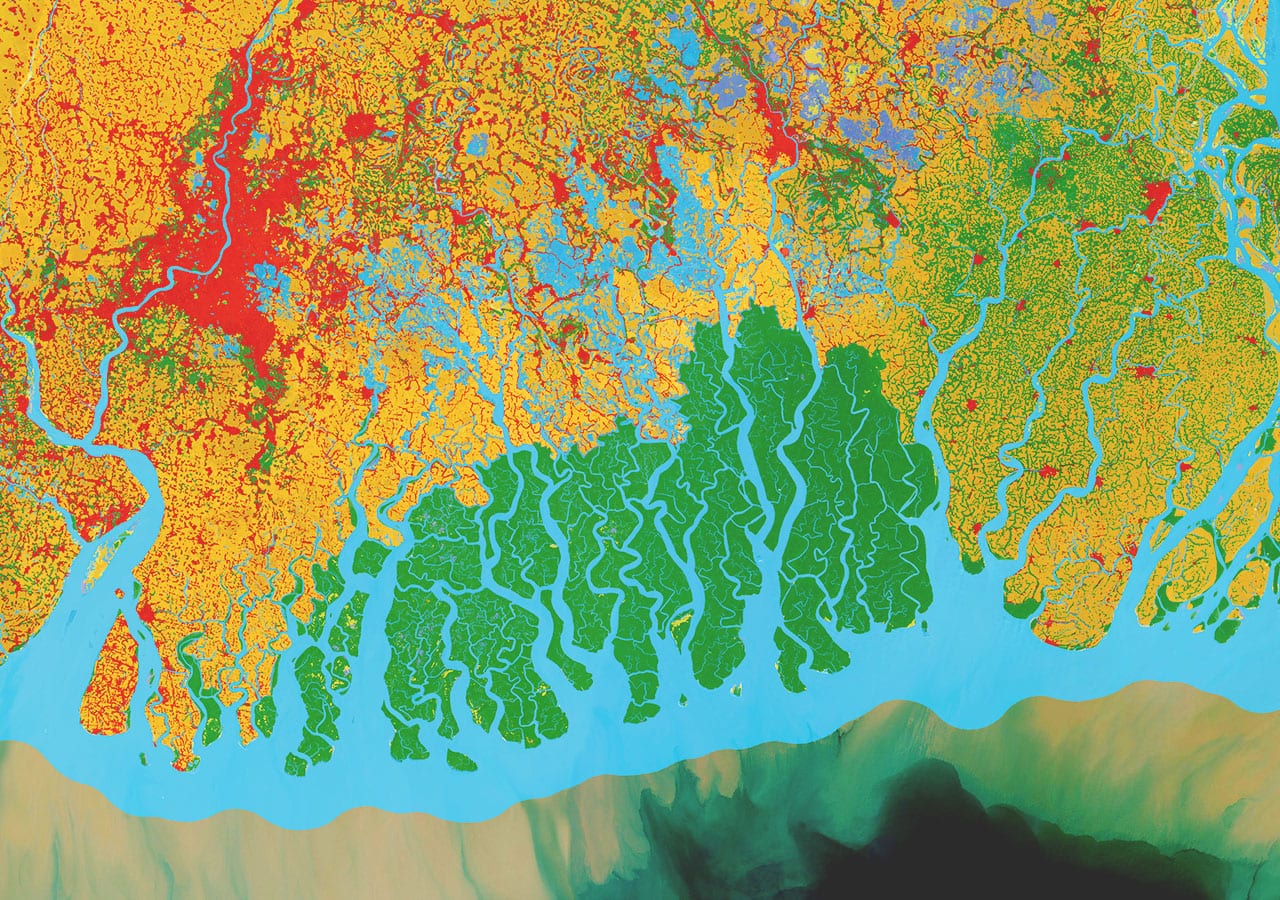
Access satellite imagery like Sentinel, Landsat, and MODIS—as well as premium imagery data from Esri partners and contributors around the world.

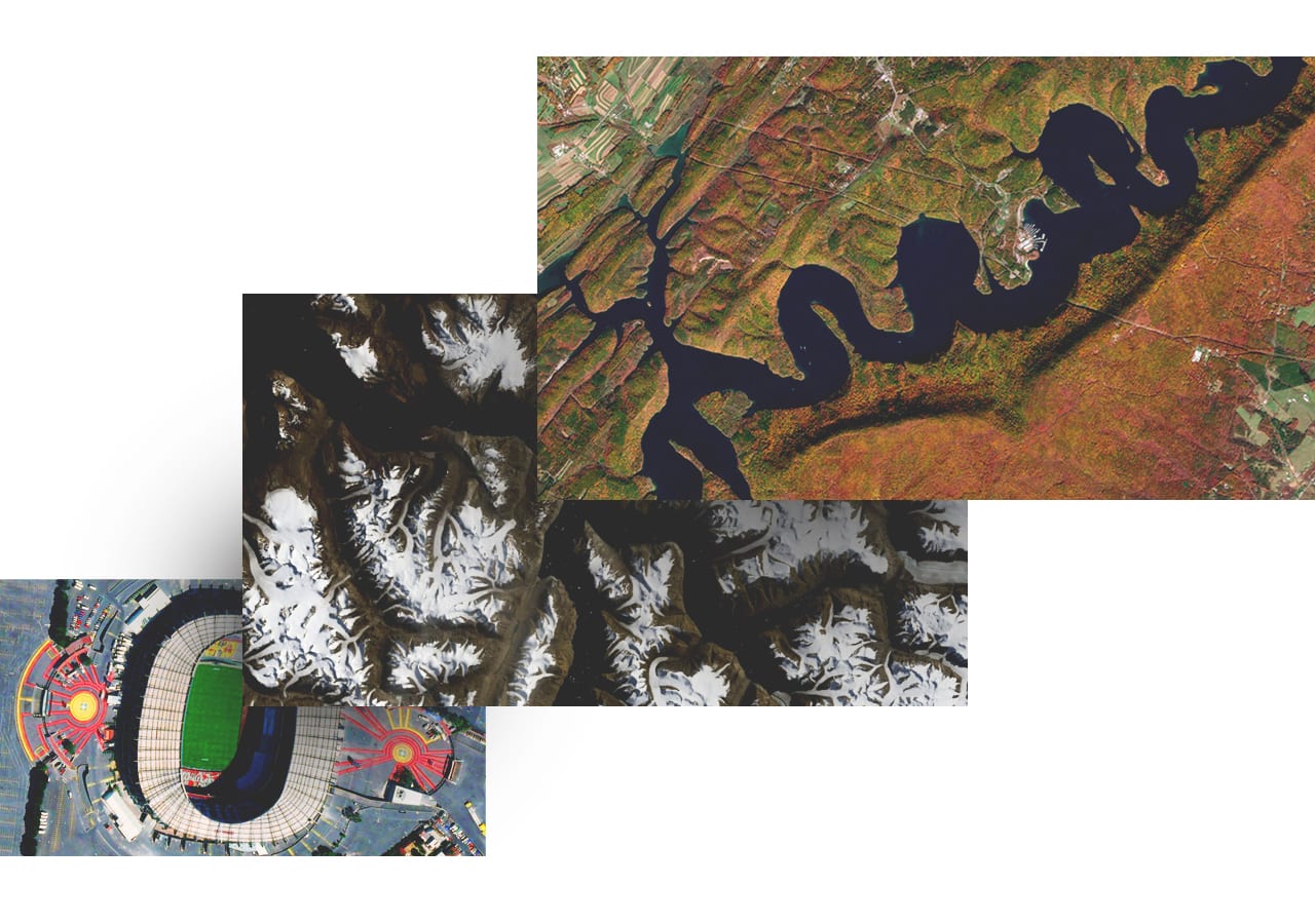
Tools that take your imagery beyond basemaps

In ArcGIS, imagery layers are not static backdrops—like any spatial data, they're available for analysis and visualization.

A river flows through a flat, snowy tundra landscape with a plateau rising in the distance

Curated from authoritative sources

ArcGIS Living Atlas of the World includes imagery layers from leading agencies such as NASA, NOAA, USGS, and USDA Farm Service Agency.

Explore the foremost collection of geographic information

Imagery data layers in ArcGIS Living Atlas of the World include all industry and research essentials in satellite, aerial, and remote sensing content, and feature a range of current, forecasted, and historic datasets.

Premium imagery content

Esri partners with leading satellite and aerial imagery providers to give you access to the latest data from imagery innovators.

Access and share your own content

As a modern geographic information system (GIS), ArcGIS is a complete imagery and remote sensing system, supporting all types and scales of content from different sensors, formats, and modalities. No matter what kind—or volume—of imagery data your organization uses, Esri can help you manage your collection and make your imagery accessible. 

Explore image management
Remote sensing images show mountain, desert, and coastal landscapes in a variety of colors

Imagery content in your industry

Aerial and satellite imagery provides a powerful visual aid for decision-makers in all sectors, showing real-world conditions layered with contextual information ranging from approaching storms to zoning restrictions.

previous
Next

ArcGIS Living Atlas of the World

Out-of-the-box imagery collection

ArcGIS Living Atlas of the World is the foremost collection of geographic information from around the globe.

Explore this product

Need help finding the right solution?

Schedule a conversation with one of our experienced sales consultants. Tell us how you're using imagery and remote sensing data now, and we'll show you where a comprehensive geospatial system can take your work next.