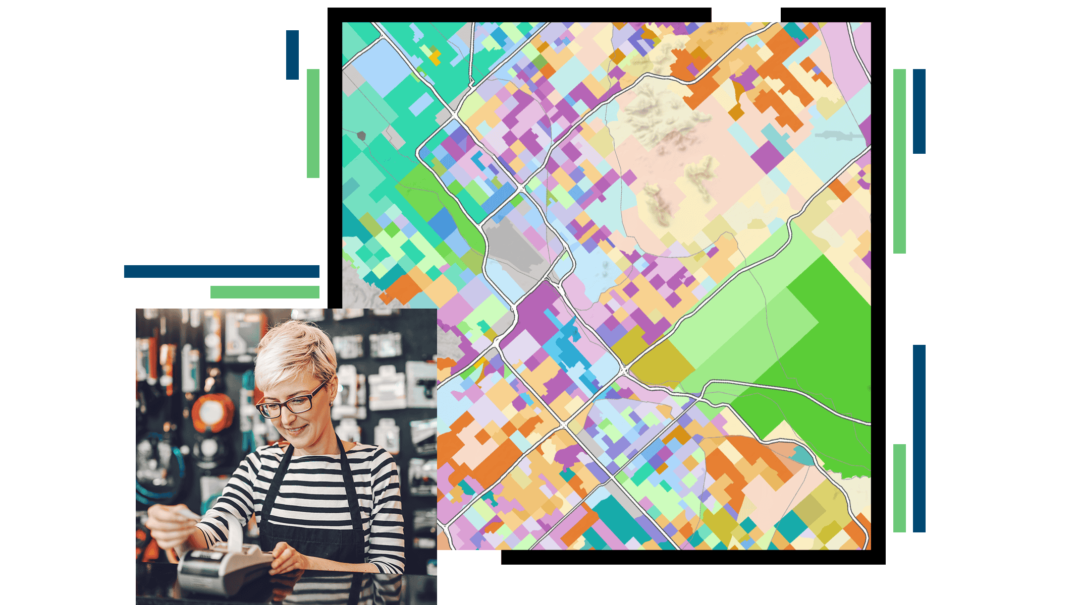
Skip to Content

Economic Restoration and Planning

Woman looking at her phone, dark grey map with blue and green dots

Today, planners play an essential role in supporting the economic restoration strategies of their communities. At the core of this new role is understanding the demographics, the socioeconomic characteristics, and the long-range plan of a community. GIS software provides a platform to perform demographic analysis, understand the needs of the community, and apply sustainable design principles to your strategic economic restoration planning. It provides detailed insight and highlights areas of opportunity as well as at-risk areas in need of immediate attention. Use GIS to ensure key stakeholders are aligned, promote smarter decision-making, and enable sustainable economic restoration and growth.

Assess business needs

Understanding the needs of businesses, from market analysis to workforce status, is key in restoring the economic vibrancy to a neighborhood. ArcGIS maintains both the apps and the data necessary to empower decision-makers to comprehensively assess business needs throughout the community.

City street

Identify community priorities to assess needs

The demographic characteristics among neighborhoods in a community can be very distinct. ArcGIS provides access to apps and data that identify the socioeconomic traits of a neighborhood and, subsequently, the need for specific services and businesses that can improve the quality of life.

Two adults holding a child’s hand

Measure employment and purchasing power

A key to economic restoration strategies is understanding the spending habits and workforce status of a neighborhood. GIS provides authoritative data in focused web apps that allow both decision-makers and businesses to understand the detailed needs, abilities, and service areas of residents.

Person paying a bill with a mobile credit card reader

Alter land use & zoning for short-term needs

ArcGIS delivers a platform that allows planners, administrators, and economic developers to model potential short-term changes to permitted uses and zoning at a site, a block, or an entire study area. It also measures the economic and cultural impact of these potential changes on businesses and residents.

Map with vertical bars

Adjust zoning for sustainable development

While temporary changes to permitted use and zoning are in place, planners can use ArcGIS to understand the potential impact of such changes to an area. This empowers planners to use a data-driven approach to long-term economic restoration.

Map with building shaded in different colors

ESRI BLOG

Des Moines stimulates economic growth

GIS and a digital twin are helping city planners address development constraints and see possibilities for the future of Des Moines.

Read the article

Products & solutions for economic restoration

Previous
Next

Contact sales

Contact us

Outside the United States

Connect with the Esri community development team