Combining location information with communication channels, such as email, Twitter, YouTube, and text messaging, gives organizations an in-depth view of their audience in specific locations and cultivates more intelligent communication. Companies in the Esri Startup Program are innovating in this domain, helping a range of organizations better understand the content and trends that relate to their customers and staff members.
Searching Social Media
Twitter has 310 million active users, Facebook averages more than 1 billion daily active users, and Snapchat’s daily user base is reported as at least 100 million. With so many people sharing so much information on social media, it can be difficult to pinpoint a trend to a particular area or discern the larger picture that goes along with a series of posts.
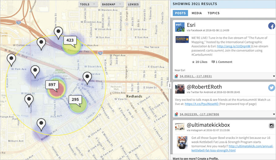
Startup Echosec Systems developed a location-based search platform that allows public safety organizations, security firms, journalists, and intelligence professionals to analyze information on social media and turn it into actionable knowledge.
Instead of filtering posts using hashtags or keywords, Echosec leverages location metadata to search social media and other open-source information. It sends API requests directly to social media networks, such as Instagram, Twitter, and YouTube, as well as third-party information repositories. The program queries the data and then displays it on ArcGIS map services and layers available within the application.

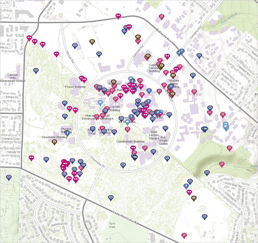
Another startup, Snaptrends, processes billions of geotagged posts each month and translates more than 80 languages to help organizations pinpoint the locations of social media content and users.
Snaptrends recently helped one emergency management department in Texas save lives during a flood. After rain deluged the area overnight, residents woke up to find that they were trapped in their houses. They began calling 911—albeit all at the same time—and overwhelmed emergency lines. When residents were unable to call for help, they started posting images and videos of their situations on social media.
Using Snaptrends, the emergency management department was able to see where people needed help and direct its resources to residents who required the most immediate assistance. With the ability to filter social media searches to specific areas, emergency managers—and other organizations—can zero in on what is most important.
Learn more about Echosec and Snaptrends.
The Right Media at the Right Time
Connecting with people is increasingly complex—especially with the ever-growing list of communication channels (phones, email, texting, social media) and a boom in devices that fuel the Internet of Things (IoT). If an organization uses the wrong medium, its messages get ignored. If it stops listening altogether, it misses out on key information.
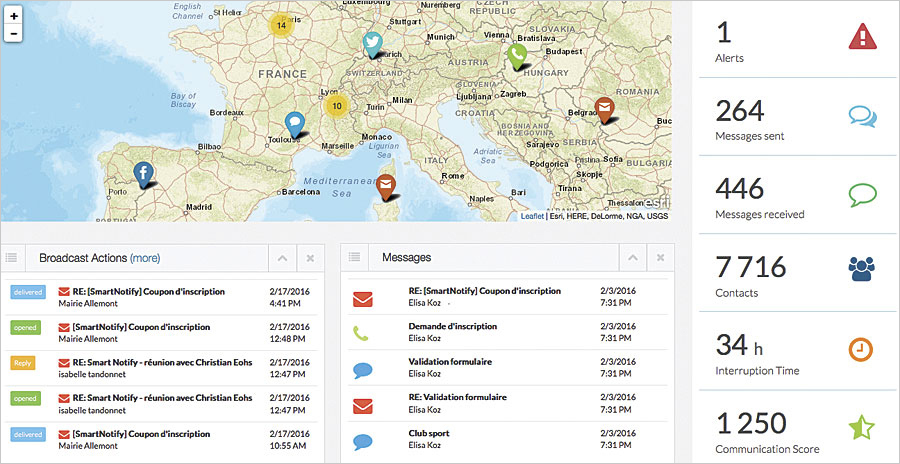
Startup SmartNotify helps customers route communication through the right channels at the right time. Rather than mass broadcast generic information, retailers, utility companies, smart cities, and other institutions can analyze their contacts’ preferences, circumstances, and locations to reach them intelligently. SmartNotify users can also monitor people’s responses to their messages, allowing organizations to be proactive rather than reactive.

The app integrates Esri technology in two ways. First, using ArcGIS Online and ArcGIS API for JavaScript, SmartNotify makes ArcGIS maps, features, and data available to users natively both on the web and as a mobile app. Second, SmartNotify allows customers to feed data from their own ArcGIS accounts into its web and mobile apps.
Some small towns in the French Alps have ingrained SmartNotify into their daily operations. In Vaujany, for example, the town’s communication managers can send text messages to residents to notify them of snow conditions so people can adjust their commutes, or call the elderly to inform them that the city’s food delivery services might be delayed. They can also get citizens’ input on development or environmental issues via social media.
Learn more about SmartNotify.

