ArcGIS Open Data is helping more than 2,600 organizations around the world share their authoritative data in multiple open formats. The solution, hosted and managed by Esri, comes free with ArcGIS Online. It enables users to set up public-facing websites where members of the community can search and download open data.
Recent examples include the following:

Pinellas County Open Data Portal
opendata.pinellas-egis.opendata.arcgis.com
Pinellas County, Florida, worked with data stewards from departments across the county to create an open data portal for its internally managed datasets, which include information on economic development, infrastructure, and public safety. Other municipalities can easily access this data through ArcGIS Open Data.
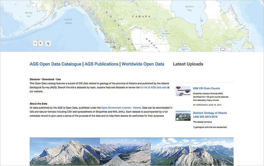
Alberta Geological Survey
geology.ags-aer.opendata.arcgis.com
The Alberta Geological Survey in Canada uses ArcGIS Open Data to share GIS data about the geology of Alberta—from bedrock and surficial information to details about minerals. The site supports the organization’s interactive web mapping applications and augments its well-developed open data repository with active map services.
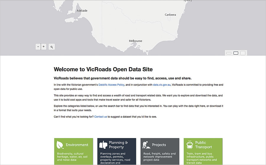
VicRoads Open Data
vicroadsopendata.vicroadsmaps.opendata.arcgis.com
VicRoads, the road and traffic authority for the State of Victoria, Australia, was the first Victorian government agency to launch an ArcGIS Open Data site. With information about road projects, traffic, public transportation, and vehicle registration and licensing, the site highlights the agency’s commitment to open data and prompted several other agencies to follow suit.
View other websites powered by ArcGIS Open Data or create your own.