With summer vacations in the rearview mirror in many parts of the world and university classes now in full swing, it’s the perfect time for GIS professionals and students to hit the books.
Esri has recently published four educational workbooks to help people learn how to use ArcGIS software, including ArcGIS Pro with its advanced data analysis and visualization tools. Whether you are just starting out in GIS or have become a seasoned pro, these books will give you the knowledge you need to get started working with ArcGIS Pro, ArcGIS Online, Esri Story Maps apps, imagery, and more.
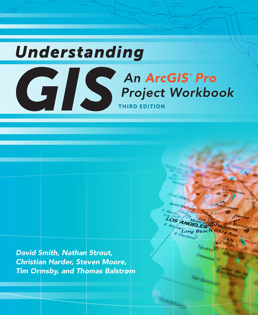
Understanding GIS: An ArcGIS Pro Project Workbook

Understanding GIS: An ArcGIS Pro Project Workbook, Third Edition, gives readers a single goal: locate the best site for a new public park in Los Angeles, California, using Esri’s ArcGIS Pro software.
This is an ideal textbook for instructors and students who want a GIS course that focuses on a single project, incorporates real data, and uses the most up-to date spatial analysis methods and technology. To find the most suitable location for a public park along the Los Angeles River, workbook readers will use ArcGIS Pro, an ArcGIS Desktop application with advanced 2D and 3D mapping capabilities such as visualization and analytics tools. In addition, they will work with Esri ArcGIS Online, Esri Story Maps apps, United States census data, and data provided by the City of Los Angeles. The data can be downloaded from the book’s resource web page.
The textbook starts by outlining how to frame questions that need to be asked about the park that’s going to be built, the type of site needed, and the demographics of the people who would benefit from and use the park. Step-by-step instructions in nine lessons show readers how to use ArcGIS Pro to explore the project data, select the data for use in the analysis, build a database, edit data, conduct the analysis, build a model to automate the analysis, create a map to present the results of the analysis, and then share the results in a web map.
By the time readers finish the book, they will have completed all the important phases of a GIS analysis project including planning, building a data model, and conducting spatial analysis. They also get to make an Esri Story Map Journal app that shows the best potential sites for the Los Angeles River park.
While the latest GIS software drives the site selection process for the Los Angeles River park in this project, the underlying methodology in the workbook is rooted in an Esri textbook that was published more than two decades ago, before the advent of the web. “[Since then] there have been huge innovations in geospatial data models and user interfaces—GIS now lives and breathes on the web,” wrote Clint Brown, director of software products at Esri, in the book’s foreword. “Yet the need for our users to understand how to organize and think about a GIS project persists.”
(Esri, print edition ISBN: 9781589484832, US$79.99; e-book ISBN: 9781589484955, US$79.99)
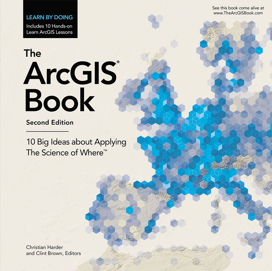
The ArcGIS Book: 10 Big Ideas about Applying The Science of Where

A new book from Esri gives mapmakers of all levels of expertise the know-how and hands-on experience to practice The Science of Where.
The ArcGIS Book: 10 Big Ideas about Applying The Science of Where, Second Edition, and its companion website offer all the information and interactive education resources needed to jump in and start to use web-based GIS technology to create maps, work with apps, create and use authoritative data, perform spatial analysis, and do much more. Web GIS applies the where factor to help you gain deeper insight into your data.
Esri president Jack Dangermond has defined The Science of Where as “the science of geography and the tech of GIS, brought together.”
“The Science of Where transforms the world by unlocking the full potential of data within organizations everywhere,” Dangermond said.
Available in print, as an interactive PDF, and online at TheArcGISBook.com, the book explains how to use Esri’s ArcGIS platform to manage and analyze data and then visualize and share that information in maps to gain valuable location-based insight. Chapters cover web mapping, ready-to-use apps, story maps, 3D GIS, spatial analysis, imagery, the Internet of Things (IoT), and curated content from Esri’s Living Atlas of the World. Thought leadership authors include Dangermond; Lawrie Jordan, Esri director of imagery and remote sensing; and Richard Saul Wurman, the architect and graphic designer who founded the TED conference.
The online and PDF versionsof The ArcGIS Book are highly interactive, with 10 Learn ArcGIS lessons and links to 250 online maps and apps from Esri and the worldwide ArcGIS user community, software downloads, videos, case studies, story maps, e-books, open data sites, the Living Atlas of the World, and many other electronic learning resources. Readers also have access to free membership in the Learn ArcGIS organization, a virtual GIS computer lab that includes the software and data required to complete the lessons.
“It’s a multimedia experience,” said Christian Harder, the writer at Esri who coedited the book with Clint Brown, Esri director of software products. “Every graphic and image in the electronic versions of the book comes to life in the interactive versions. This makes it an excellent starting point for people to learn about GIS or communicate to their friends and colleagues what GIS is all about.”
(Esri, print edition ISBN: 9781589484870, US$19.99; the free, interactive website: TheArcGISBook.com)
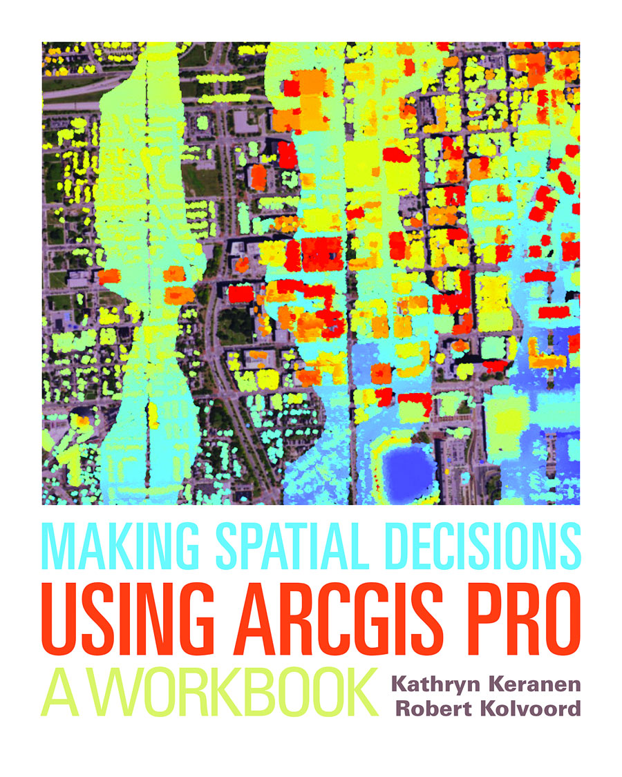
Making Spatial Decisions Using ArcGIS Pro: A Workbook

Making Spatial Decisions Using ArcGIS Pro: A Workbookteaches how to use geospatial analysis tools in Esri’s ArcGIS Pro software to solve real-world problems in fields such as emergency management, law enforcement, urban development, and renewable energy.
The workbook is project based and incorporates The Science of Where into the lessons. Readers will use the geospatial analysis tools in ArcGIS Pro—along with vector, remote-sensing, and lidar data—to perform analyses and make maps. The projects were designed for instructors and students of geospatial technologies to use in a college, university, or high school setting, although anyone who uses GIS technology will find Making Spatial Decisions Using ArcGIS Pro educational and useful.
The workbook includes 18 projects that cover real-world scenarios. Readers will use ArcGIS Pro and the data provided to manage incidents such as hazardous materials spills, decide what areas were the hardest hit by a hurricane to properly allocate disaster aid, and analyze crime patterns to determine where to step up patrols. While ArcGIS Pro is the primary tool used to complete the lessons, readers will also use Esri ArcGIS Online to access data and publish and share their work.
The lessons included in this workbook were updated for use with ArcGIS Pro, having been adapted from the authors’ popular Making Spatial Decisions series of workbooks: Making Spatial Decisions Using GIS, Making Spatial Decisions Using GIS and Remote Sensing, and Making Spatial Decisions Using GIS and Lidar, all published by Esri. The authors use proven teaching methods so that students immediately apply what they learn as they progress through the lessons. The workbook comes with GIS data, access to ArcGIS Pro software, and other materials needed to complete the projects.
(Esri, print edition ISBN: 9781589484849,US$ 69.99; e-book ISBN: 9781589484856, $69.99)
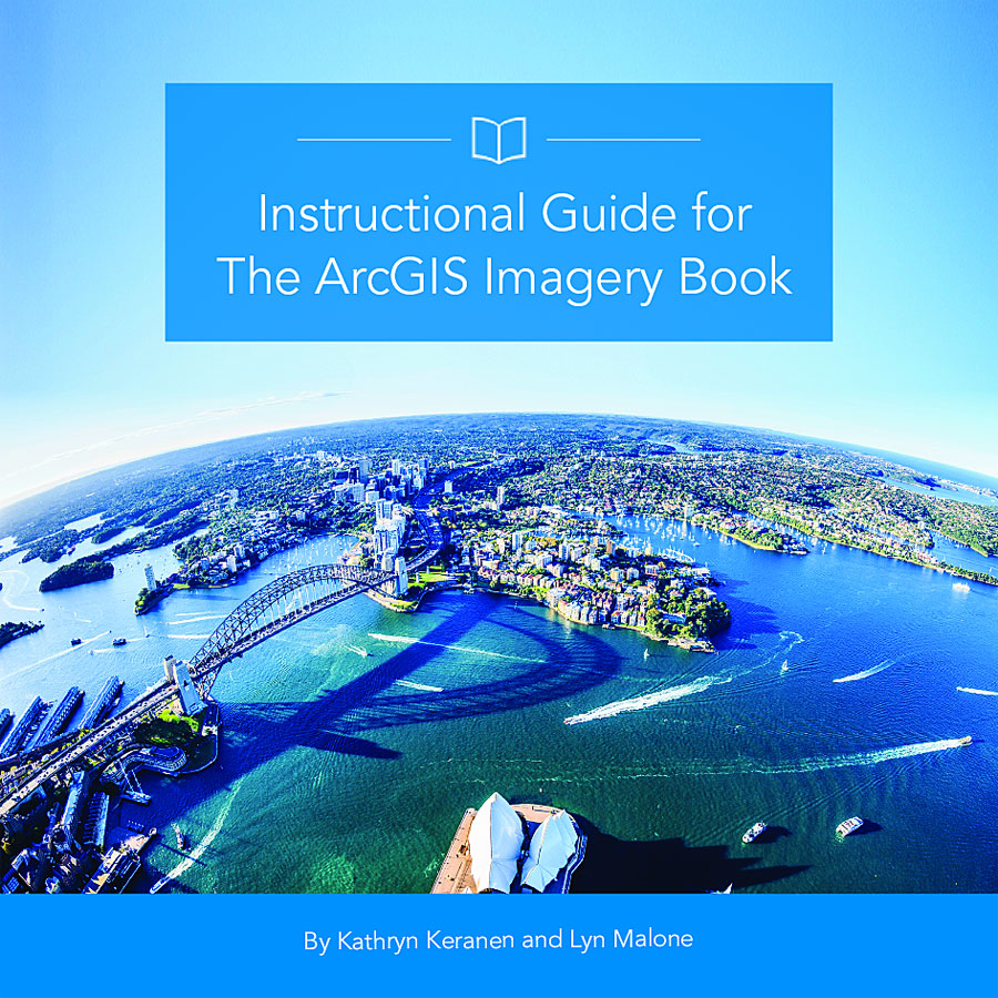
Instructional Guide for The ArcGIS Imagery Book

Instructional Guide for The ArcGIS Imagery Book is an important resource for anyone interested in applying Esri technology to study imagery.
The guide, which is available in print or online, serves as a companion workbook to The ArcGIS Imagery Book: New View. New Vision. Using real-world examples for the lessons, teachers and self-taught learners will get practical experience working with imagery and GIS technology. They will learn ArcGIS concepts, the value of imagery, and ways to apply ArcGIS tools to obtain information from imagery.
This hands-on reference teaches how to use ArcGIS to explore, analyze, and manage imagery. Building on the foundational concepts in The ArcGIS Imagery Book, each chapter provides videos, activities, sample questions, data, and lessons. Some lessons and activities require Esri ArcGIS Online and Learn ArcGIS accounts.
Chapters cover topics such as remote sensing, imagery analysis, 3D and 4D imagery, and big data management. Readers learn by using online maps, apps, and data to complete exercises such as determining which agricultural fields are best for planting corn or alfalfa, analyzing imagery to determine the extent of damage from a major wildfire, and creating an Esri Story Maps app that shows how much a lake in Asia has shrunk due to drought and increased irrigation for agriculture. In a lesson on tracking a supertyphoon, readers also learn how to work with Moderate-Resolution Imaging Spectroradiometer (MODIS) imagery.
(Esri, print edition ISBN: 9781589484801, US$39.99)
