Skip to Content

Building Green Infrastructure in the U.S.

A Framework for Sustainable Growth

Developing green infrastructure strategies

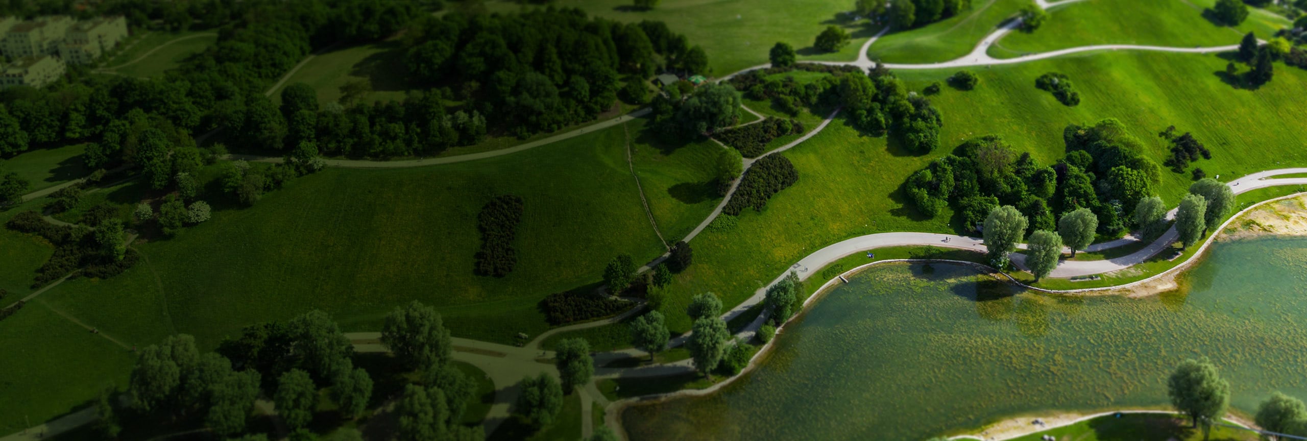
With a green infrastructure strategy, communities work to preserve and connect open spaces, watersheds, wildlife habitats, parks, and other critical landscapes. Found throughout this site you will find the data and tools your organization needs to develop green infrastructure strategies.

Previous
Next

How Green is Your Community?

Hold the phone! Try viewing this on a tablet or computer for the full experience.

How Green is Your Community?

1. Enter your ZIP code into the map on the “Current” tab to determine whether you are balancing development with green infrastructure.

2. Enter your ZIP code on the “Future” tab to measure the sustainability of your planning decisions and compare current land-use conditions with 2050 land cover predictions.

The Time to Act Is Now

Today’s decision-makers are faced with a common challenge—how to set development policies that support everyone. If we can start thinking of natural resources as part of a connected infrastructure that supports our everyday lives, we can also recognize the need to actively conserve those resources.

Communities are using GIS to identify local valuable landscapes, prioritize which to protect, and plan connections within and beyond their boundaries. By visualizing this information on a map, your community can understand the true cost of development before it happens. In tandem with the Green Infrastructure Center, Esri has provided the data, maps, and tools needed to support green infrastructure strategies in the United States at the regional, municipal, and urban scale.

Richland County Case Study

Partners

Organizations across the country are supporting the initiative to prioritize and connect a national network of green infrastructure.

Previous
Next