July - September 2002
July - September 2002 |
||||||||
|
|
||||||||
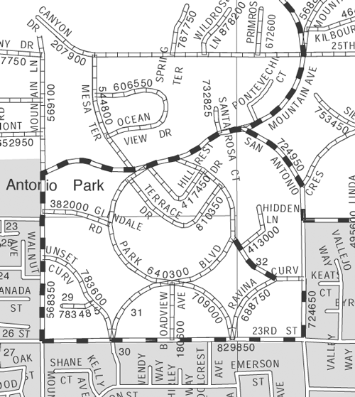
Covering more than 20,000 square miles in Southern California, San Bernardino is the largest county in the lower 48 states. Given its size and population--nearly two million--managing the County's diverse resources and providing services throughout the area are not tasks for the faint-of-heart. Fortunately San Bernardino County's GIS helps get the work done smoothly. San Bernardino County first implemented GIS in 1970 to help process census data and began using automated mapping in 1978. In 1987, the County formed the Geographic Information Management System (GIMS) Department to help other County departments launch GIS applications. The eventual goal was to set up a County-wide GIS. The strategy for success was simple--focus on organization and communicate the benefits of GIS technology to all levels of government and the private sector. To develop an accurate and up-to-date basemap, the GIMS staff sought participation from other agencies and organizations such as utilities and engineering firms. The staff promoted the County's vision of sharing common data elements, distributing costs, and centralizing the maintenance of the system. GIS Steers GrowthThe County's success with GIS is demonstrable. The Assessor's Office; Sheriff; Offices of Human Services System; Treasurer/Tax Collector; Auditor/Controller-Recorder, Probation; and Public Works departments use a variety of GIS applications to perform sophisticated queries, merge and analyze data, and produce high-quality maps. Users can access 195 data layers based on the County street network and parcel basemap, both of which are maintained and constantly updated. "We have been using Esri software for many years, and our current platform includes ArcInfo, ArcIMS, ArcGIS, MapObjects, and Maplex," says Mike Cohen, systems development team leader at the San Bernardino County Information Services Department. Notable among recent projects, GIMS and the Information Services Department worked with the County Economic and Community Development (ECD) Department and Redevelopment Agency to design an application to attract and expand business and industry in the County. The ECD Web site promotes the Speedway Industrial Center, a 2,806-acre site zoned for industrial, planned multiuse, and commercial development located in western San Bernardino County. Powered by MapObjects, the Web site provides parcel data, zoning information, building specifications, and information about the area. For the past two years, it has been used in conjunction with other marketing efforts that promote the Speedway Industrial Center. Serving the PublicGIMS not only serves interdepartmental information needs but also handles requests from County constituents. The department has implemented several GIS applications that disseminate data at the grassroots level. The Library Locator application, available from the San Bernardino County Public Web site (www.sbcounty.gov), is an interactive map server that helps visitors locate library branches. Three maps for each library branch show detail, vicinity, and regional resolutions. The Library Locator uses Maplex to generate its maps. Maplex, a high-end cartographic design software for creating quality labeling and annotation text, fully automates name placement and map design. It ensures that labels do not overlap and are clearly associated with map features. Users can specify rules of placement. "We built a set of rules in Maplex to generate these maps and were able to get maps of high quality and excellent annotation," says Cohen. "The placement of street and highway labels was excellent and would have proved much more difficult without the use of Maplex." Covering Miles of RoadsCohen says that his team has been using Maplex for two years. It has been used extensively to create high-quality maps for the Public Works Department's Traffic Road System map books in addition to its use in Library Locator. Public Works distributes the road system map books to more than 20 of its divisions. The books, containing 1:24,000- and 1:26,720-scale maps, are the basic reference for County-maintained roads. The Traffic Division produces the map books and controls data maintained in the IBM DB2 database that defines the County-maintained road segments. Creating the geographic data from this database required parsing textual descriptions of the road segments and applying them to the County's ArcInfo street network coverage. These maintained road segments are defined as "from and to" offsets from intersections. For example, one segment of Riverside Drive is defined as ".04M W, TOWNE AVE E/.03M E, TOWNE AVE." Translation: "Riverside Drive goes from .04 miles west of Towne Avenue to .03 miles east of Towne Avenue." Programs developed in Visual Basic and ARC Macro Language (AML) help parse these descriptions and create the maintained road system from the County's ArcInfo street network database. Using dynamic segmentation capabilities provided by ArcInfo's NETWORK module, the GIS team created a database without split arcs and maintains a one-to-one relationship to the County street network. For annotation in the map series, two Maplex rule bases were developed that described the two map scales used. For a production line of map sheet processing, a Visual Basic program took advantage of Maplex's ActiveX control capability to create an annotation coverage for each map sheet. In situations in which Maplex was unable to place labels, additional editing was done in ArcEdit on UNIX workstations. "One of the benefits of the Maplex program design is that the annotation layer output from Maplex consists of a placed and an unplaced layer," says Cohen. "AML code was developed for unplaced overflow text which enabled the editor to draw rectangles in blank areas on the map and then automatically pull the unplaced annotations into the rectangles with a sequential reference number that also labeled the arc." Broadening the Network Through PartnershipsIn 1989, GIMS collaborated with the County's Local Area Formation Commission (LAFCO) to automate production of the agency's boundary and sphere of influence maps and make them available on the Web. LAFCO determines jurisdictional boundaries for cities, towns, and independent districts that provide water, fire protection, and other services throughout the County. Online mapping for LAFCO is currently handled by a MapObjects application but the County is considering using Maplex to generate maps that would be displayed by the MapObjects application. Another County Internet application serves the Registrar of Voters (ROV) during elections with polling place information and election night mapping. Before this application was developed, the ROV was flooded with calls on election day from voters inquiring about the location of their polling places. A GIS application was implemented that supplied this information and it has reduced in the number of these phone calls. GIMS continues to find new ways to improve the operations of San Bernardino County using GIS. For more information on GIS at San Bernardino County, contact Mike Cohen, systems development team leader, at mcohen@isd.sbcounty.gov. |