Smarter field operations starts here
Discover how ArcGIS transforms disparate field activities and processes into a unified, digital workflow.

Optimize efficiency and improve coordination with the power of location
Discover how ArcGIS transforms disparate field activities and processes into a unified, digital workflow.
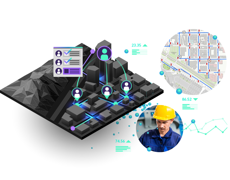
Get the office and the field working in unison. Leverage the power of location to understand where work needs to be done and effectively coordinate and dispatch resources. Your existing authoritative data is the backbone on which field activity planning is done.

Your data, your roads—even while offline. Consistently meet deadlines by using the most efficient routes so you can arrive on time and get the job done. Drivers keep their eyes on the road by using voice-guided routing that even considers the type of vehicle being driven and road restrictions along the route.

Take your organization's digital maps with you, anywhere and anytime. Use a current map to find assets and areas of interest or to see what is in the surrounding area. Promote your spatial awareness and understanding when performing inspections, responding to natural disasters, or engaging in other activities that benefit from spatial context.

Replace outdated paper-based workflows. Enable mobile workers of all technical levels to easily perform accurate data collection and asset inspections in any environment. Field-captured data immediately feeds into your system of record, streamlining life cycle management and supporting better decision-making.
Explore ArcGIS Field Maps
Explore ArcGIS Survey123
Explore ArcGIS QuickCapture

Make decisions at a glance. Easy-to-understand dashboards and maps support informed decision-making. Communicate the status of field operations to managers by monitoring, tracking, and reporting real-time data feeds, location tracks, and activities that focus on what matters most. Present maps and dashboards to apprise constituents of activities and events that impact them.

Know what happens in the field. Enable those in the field to share their location tracks so you can know where everyone is and where they have been. Location sharing is a capability of ArcGIS that is available in multiple solutions.

Sharing information can be critical to the success of a project. Whether collaborating as a single team or with multiple organizations, the ability to scale to the specific needs of your situation is easily accomplished within a single system. Easily control data access for internal and external stakeholders, so everyone has only the information they need.
