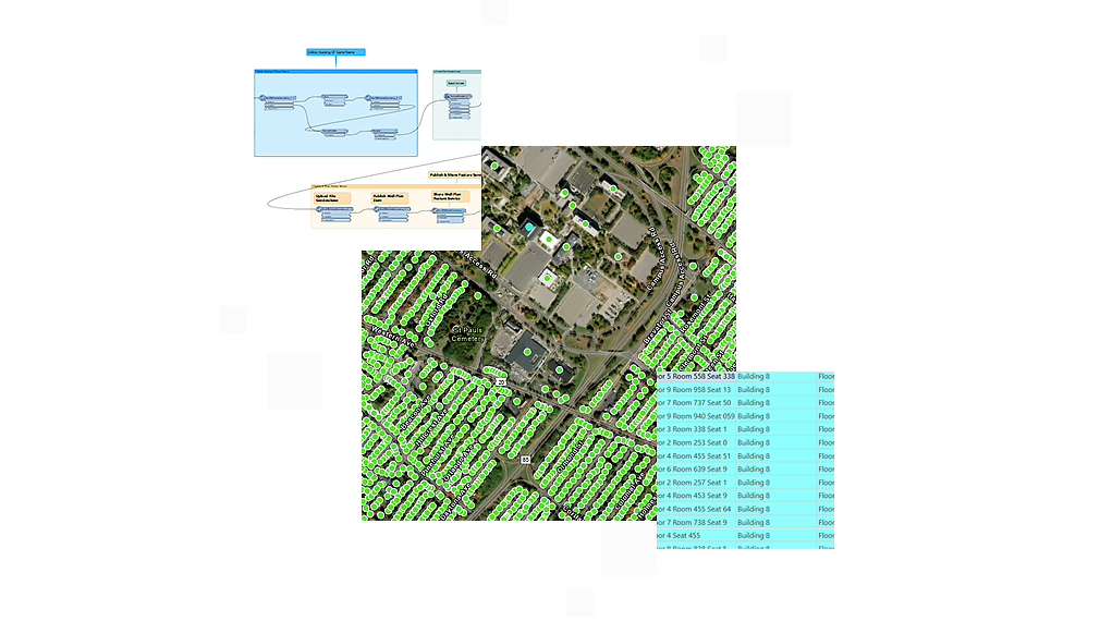
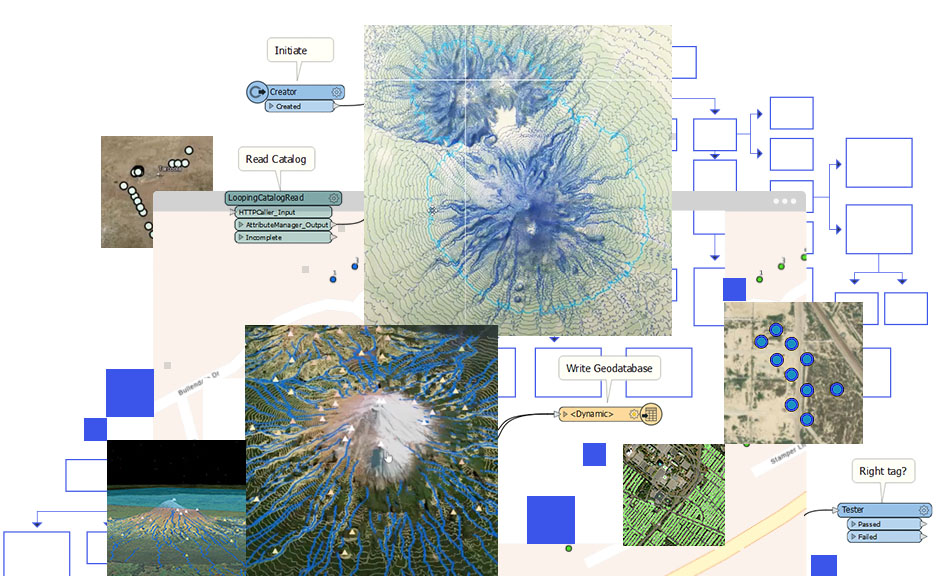
The extension is an optional extension to ArcGIS and is based on Safe Software's FME technology. The extension provides support for reading over 100 GIS, CAD, and database formats. The extension also provides tools for quick data translations between these supported formats. The ArcGIS Data Interoperability extension includes the FME Workbench application from Safe Software. This is a graphic authoring environment that allows you to visually build data transformations to manipulate spatial data as it is moved from one system to another. FME is a complete spatial extract, transform, and load (ETL) solution that enables GIS professionals to quickly translate, transform, integrate, and distribute spatial data.