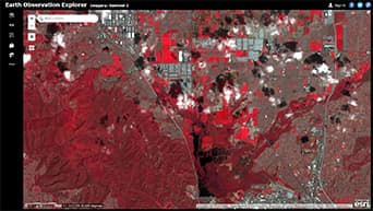
Earth Observation Explorer app
Visualize and analyze Landsat and Sentinel-2 imagery in a single app. Explore spectral profiles, detect change over time, and more.
Access massive collections of satellite imagery with ArcGIS
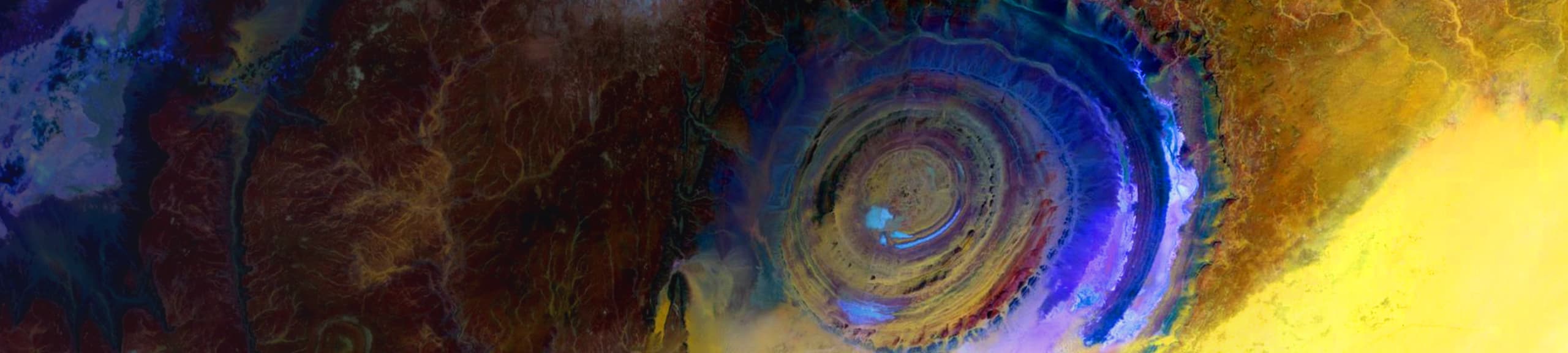
Many Earth observation satellites see things on the electromagnetic spectrum, including what's invisible to the human eye.
Different spectral bands yield insight about our continually changing Earth. Scientists and GIS analysts use these satellites to keep an eye on places like the Cambridge Gulf in Australia, where mangroves are threatened by cyclones and industrialization.
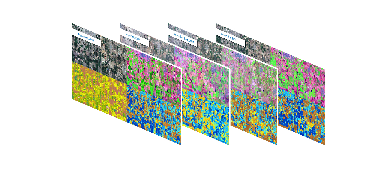
Earth observation satellites repeatedly gather images of every location on the planet so we can see how places change over time. For example, Sentinel-2 satellites fly over locations at least every 5 days, and Landsat satellites fly over once every 16 days.
Farmers and analysts can measure how crops are developing in places like Bakersfield, California. Different crops appear in different colors at specific times in their growth cycle. Variations indicate stress due to lack of water or fertilizer. This analysis helps not only farmers but also analysts who predict market prices based on supply.
With ArcGIS, explore, visualize, and analyze massive collections of satellite imagery. To get started, zoom in to any location and try the analysis capabilities in these interactive web apps.
Earth Observation Explorer app
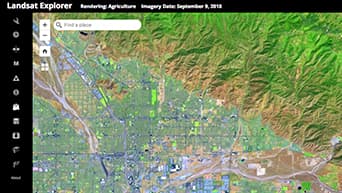
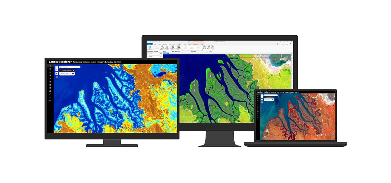
Landsat Explorer app

Sentinel Explorer app

Explore all the apps
Esri makes massive satellite imagery collections accessible from Landsat, Sentinel-2, MODIS, and NAIP. Learn more about leveraging Earth observation data in ArcGIS.
Do you have large collections of imagery? ArcGIS can make them accessible, whether on premises or in the cloud.
Start a conversation online.
Speak with a representative.