displaying 18 results
The latest release of ArcGIS is big. Get to know what’s new.
ArcGIS Maps for Power BI makes it easy to create beautiful, accurate map visualizations within Microsoft Power BI.
It's a great time to be a GIS professional. Dramatic changes are taking place in the enabling computing and communication technologies that GIS…

Now, GIS is more accessible to people who are more comfortable working in documents and spreadsheets than with points, lines, and polygons.
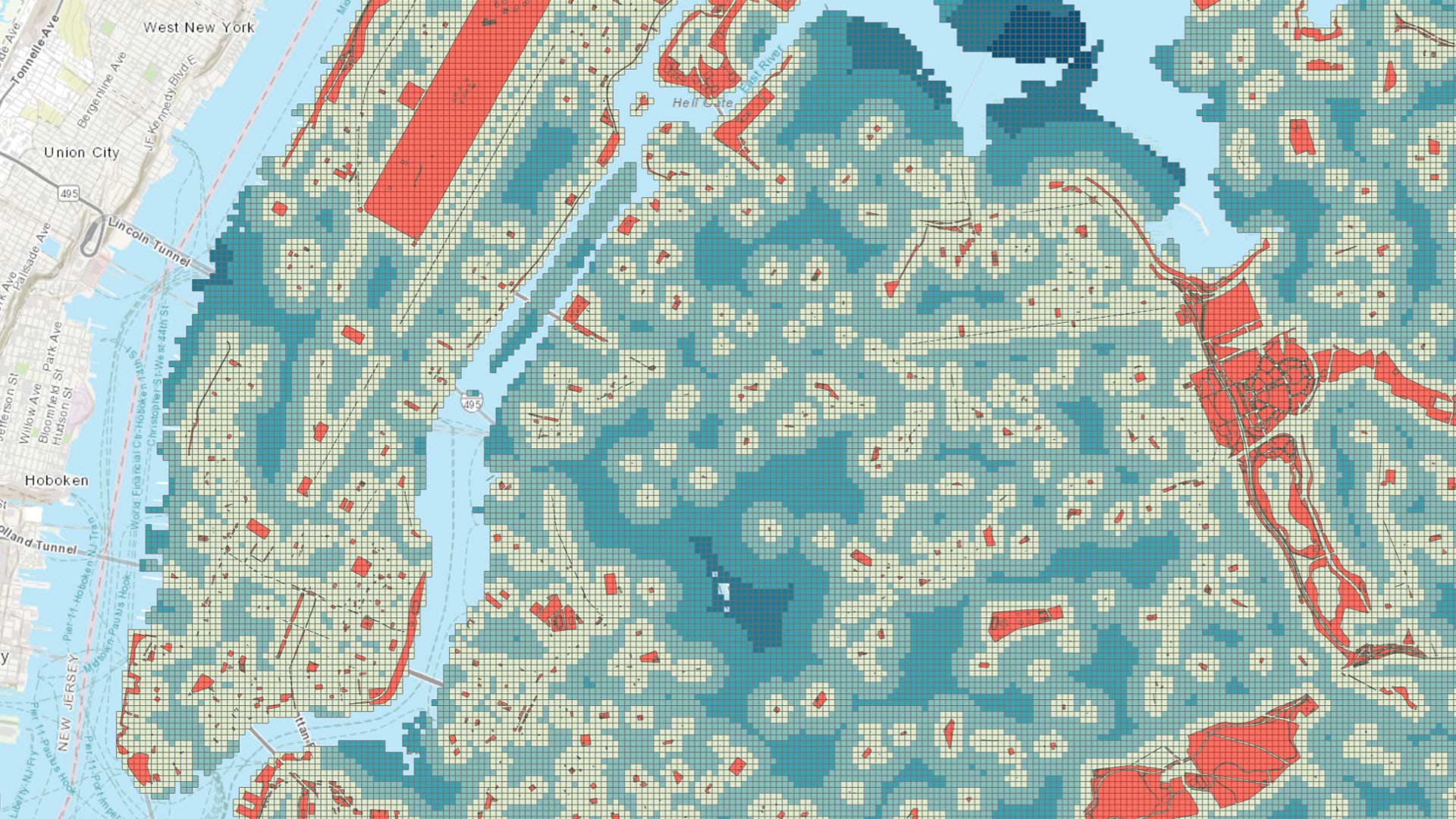
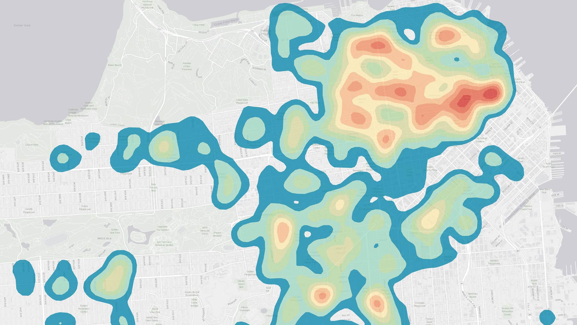
Location analytics combines geographic data on assets, infrastructure, transportation, and the environment with data on an organization's operati
Esri location analytics combines business analytics and geography to provide enterprise mapping visualization, information enrichment, and advan…

At the 2017 Esri Partner Conference, held in March in Palm Springs, California, Esri recognized partners that have made exceptional strides...

Microsoft Fabric included ArcGIS; Autodesk adds ArcGIS basemaps; National Geographic MapMaker re-released.
For decades, Esri has been bringing ArcGIS to users, departments, and systems within organizations. Business intelligence (BI) is ripe for...

Esri is hiring people with all levels of experience for positions at its headquarters, regional offices, and R&D Centers.
Esri hosts Introduction to ArcGIS Maps for Power BI, a free, 30-minute seminar on how to visualize tabular data on maps to gain greater insight..

ArcGIS is more integrated with Microsoft, Esri joins the Amazon Web Services Marketplace, and governments using ArcGIS can exchange traffic data