displaying 1360 results

Partnered collaboration is a capability of ArcGIS Online that enables members from different ArcGIS Online organizations to work together.

For broadband provider Fibrus, location technology has propelled collaboration in ways that executives in every industry can learn from.

Esri’s new Social Science Collaborative aims to help social scientists use GIS more regularly, especially for qualitative analysis.
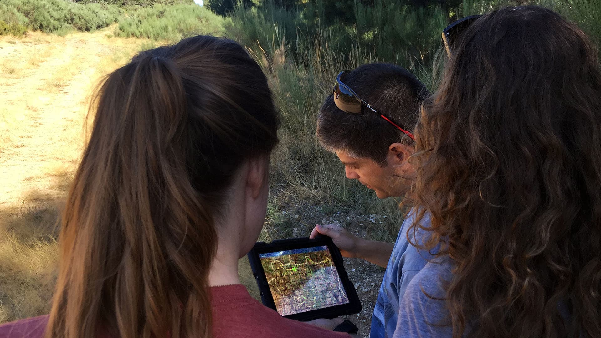
Despite the tendency of geogeeks to bury themselves in their work, professional collaboration (contact with other humans) is essential to identi…

A collaboration in the Netherlands aims to give people with limited vision access to tactile maps to help them gain situational awareness.
A fast-growing global environmental consulting firm uses GIS and smart maps for collaboration, communication, and project management.

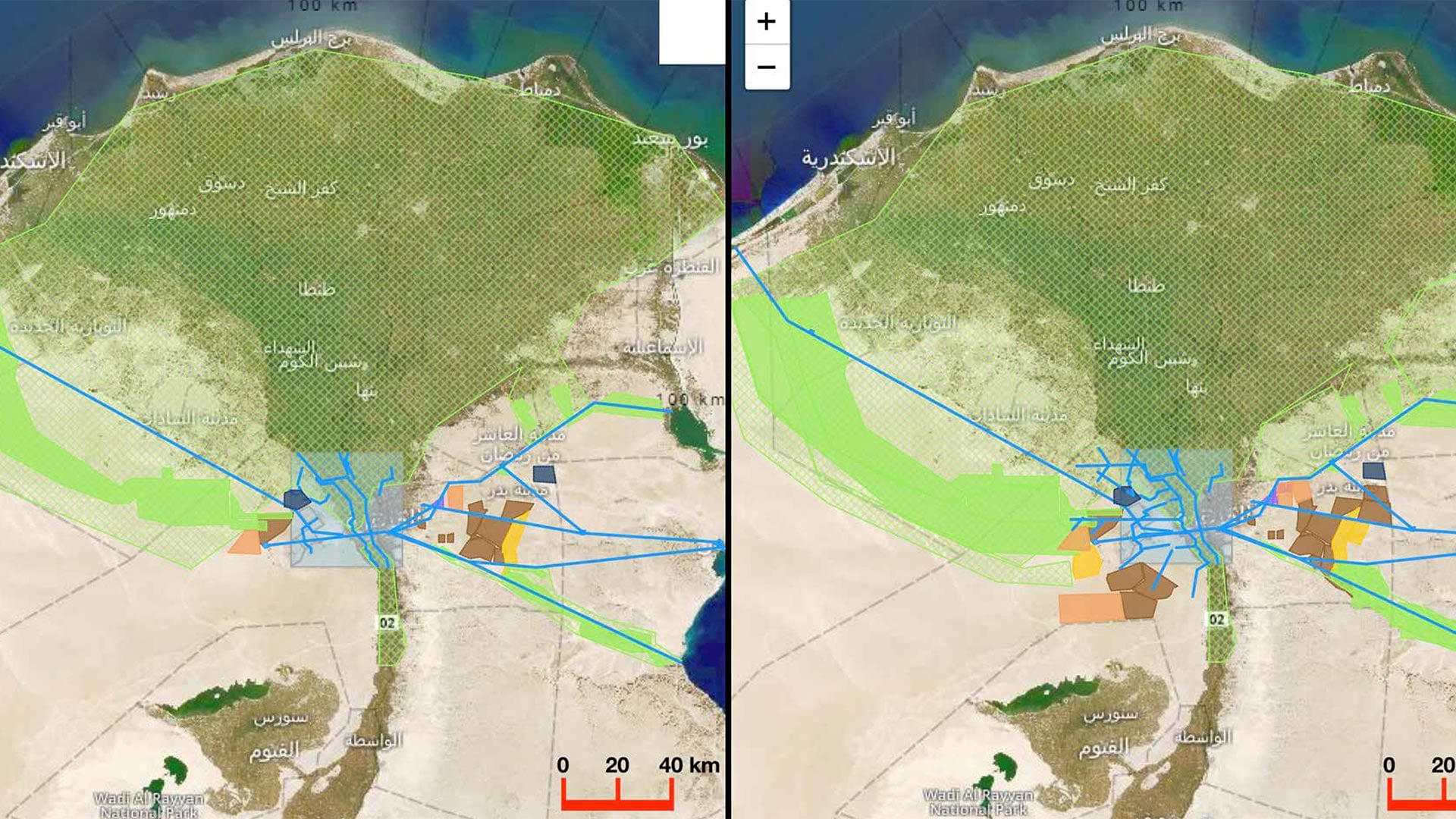
The Southern California Association of Governments (SCAG) launched an ambitious cross-jurisdictional mapping initiative.

Multiple organizations can now establish formal relationships with each other, there’s a new gallery of focused app templates, plus more.
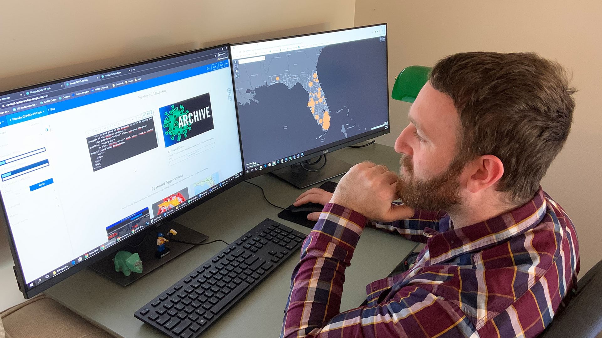
Open data sites help residents and local officials protect their communities, stay safe, and prevent infections.

The cloud-based platform helps organizations work together to respond to natural hazards and prepare for a more sustainable future.

Through his research and collaboration with students and colleagues, Dr. Josef Strobl continually shapes the future of digital mapmaking.
To solve urgent societal and environmental problems, the International Geodesign Collaboration is opening up and standardizing geodesign.