displaying 595 results
Nonprofit land trust organizations implement environmental planning using conservation strategies such as conservation easements.
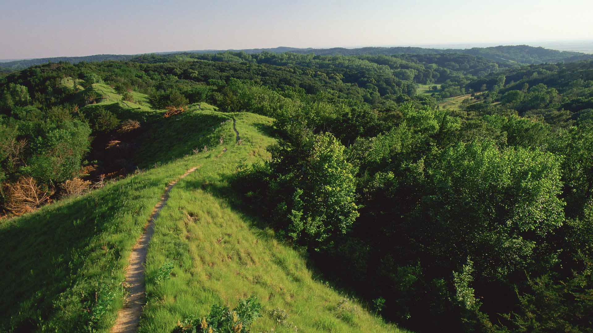
To tackle the complex problems associated with climate change, The Nature Conservancy is revolutionizing its approach to conservation.

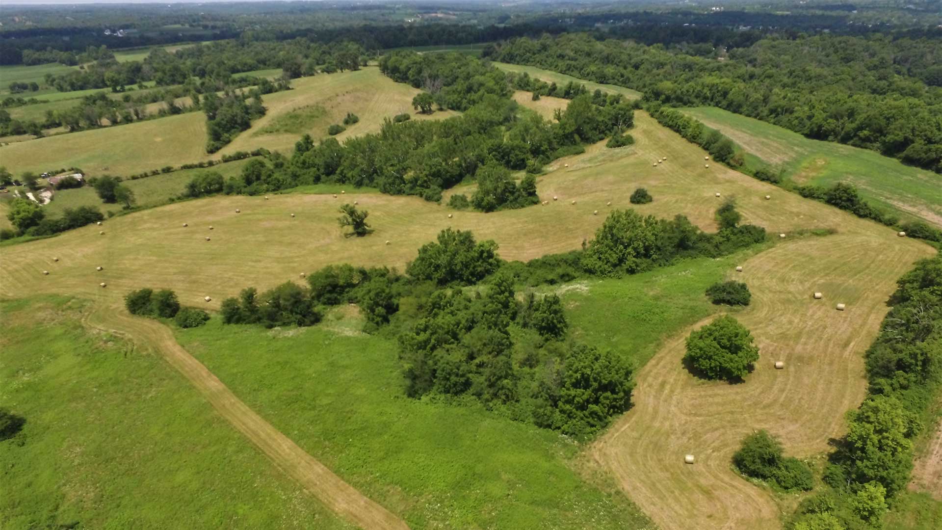
The Chesapeake Bay watershed spans 64,000 square miles across six US states and the District of Columbia.
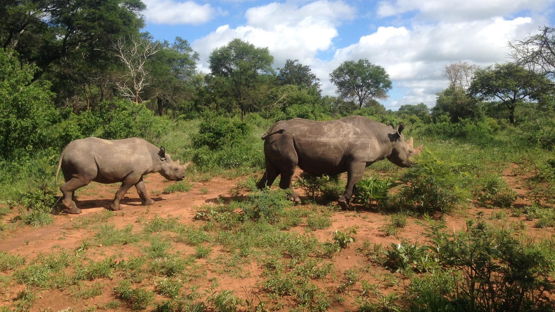
Geospatial apps provide a framework for black rhino conservation, leading to successful population management of this endangered species.

The Jane Goodall Institute implements GIS in local contexts to help communities regenerate woodlands.
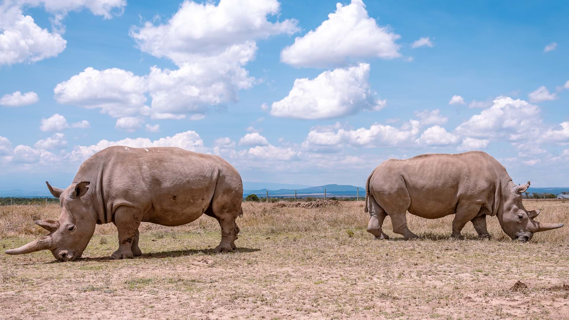
Ol Pejeta Conservancy maps and monitors critical wildlife, including the last two northern white rhino, to preserve biodiversity in Kenya.
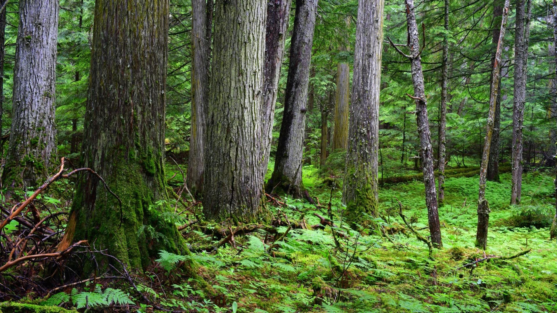
When Conservation North saw a report of old-growth forest in British Columbia, the group knew an online map was needed to activate conservation.
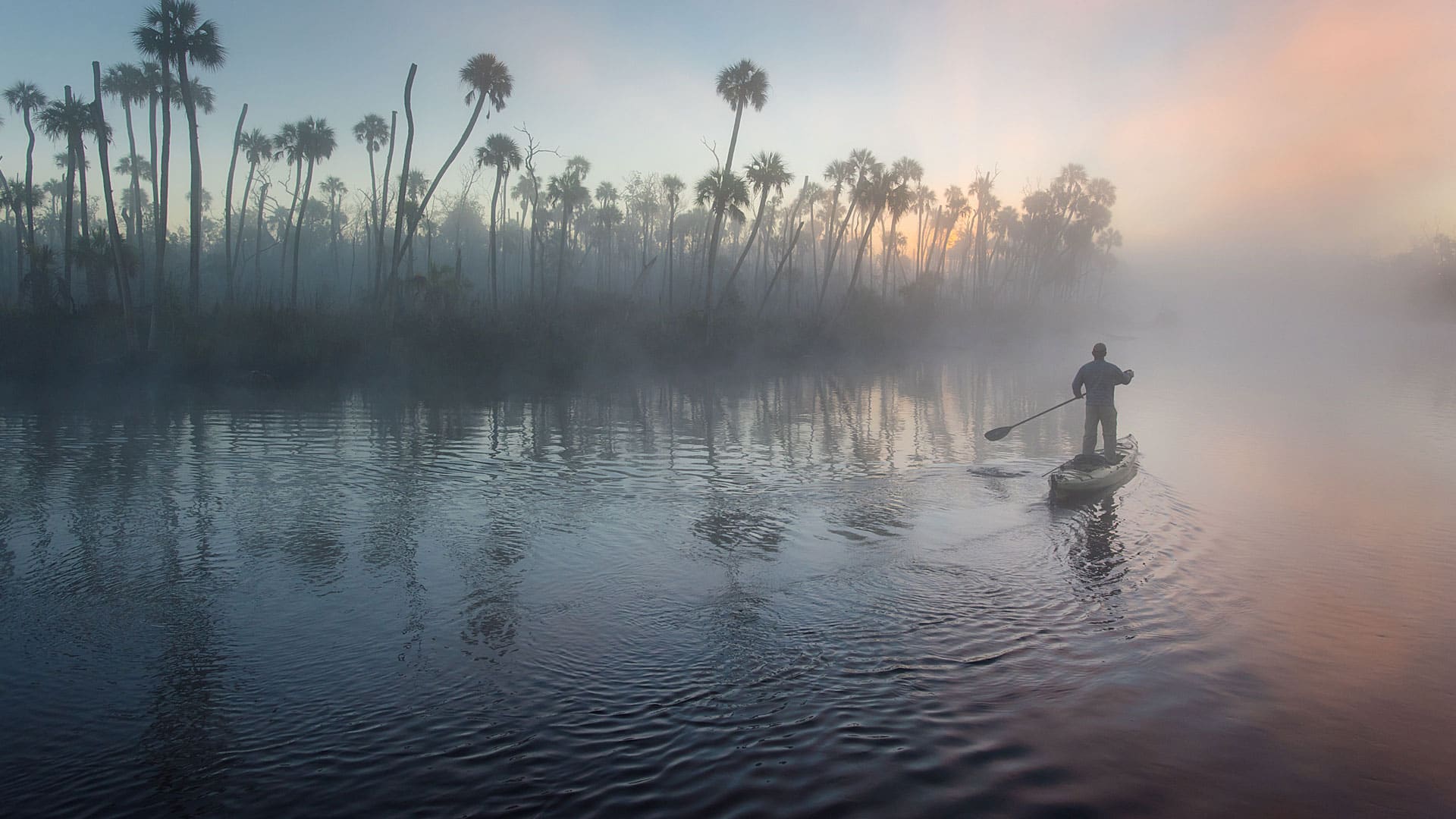
Conservation photographer Carlton Ward Jr., says geodesign and storytelling will play a critical role in conserving land for Florida wildlife.
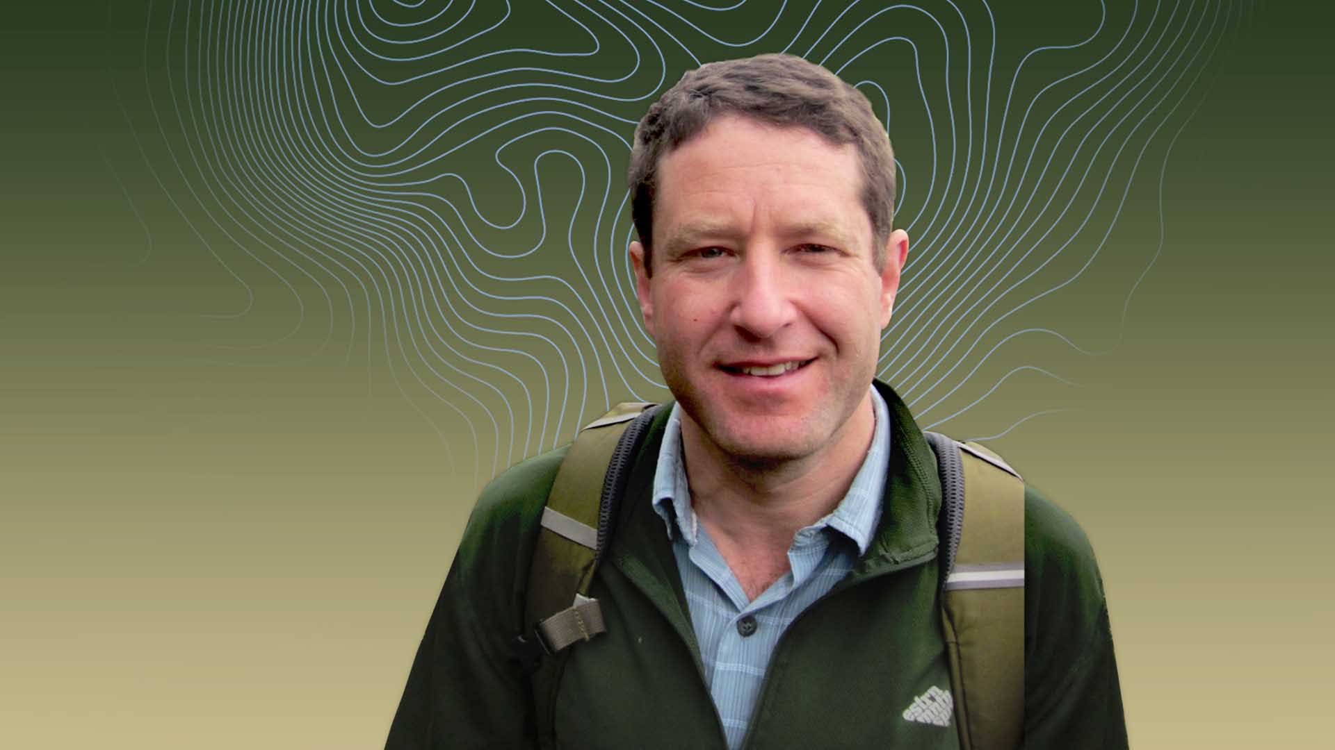
Matt Finer of Amazon Conservation is ever vigilant, empowered by technology, and dedicated to the planet's recovery.
The Master of Science in Conservation Medicine (MCM) program from the Cummings School of Veterinary Medicine has a required GIS course.
The Resilient and Connected Network, an ambitious GIS mapping tool developed by The Nature Conservancy helps conservationists save biodiversity.
Wilderness conservation maps are on display at the Smithsonian Institution National Museum of Natural History in honor of the 1964 Wilderness Act