displaying 74 results
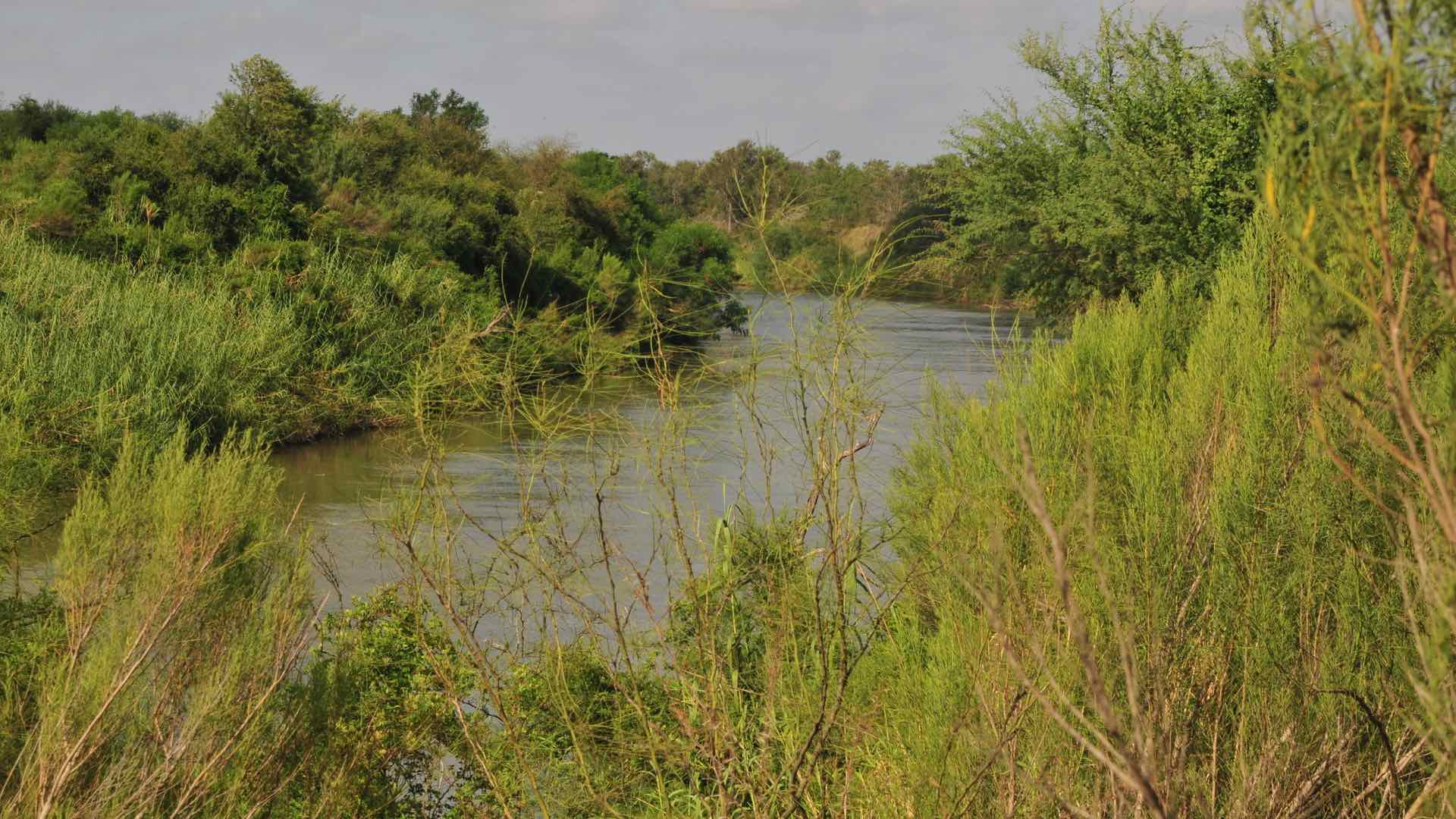
The US Border Patrol’s Missing Migrant Program works to locate and assist lost migrants who face a harrowing journey in harsh conditions.
The All-Island Research Observatory (AIRO) is based at the National University of Ireland Maynooth (NUIM).
Tellus Border, an ambitious project that surveyed the rocks, soil, and water in six border counties in the Republic of Ireland between 2011–2012…
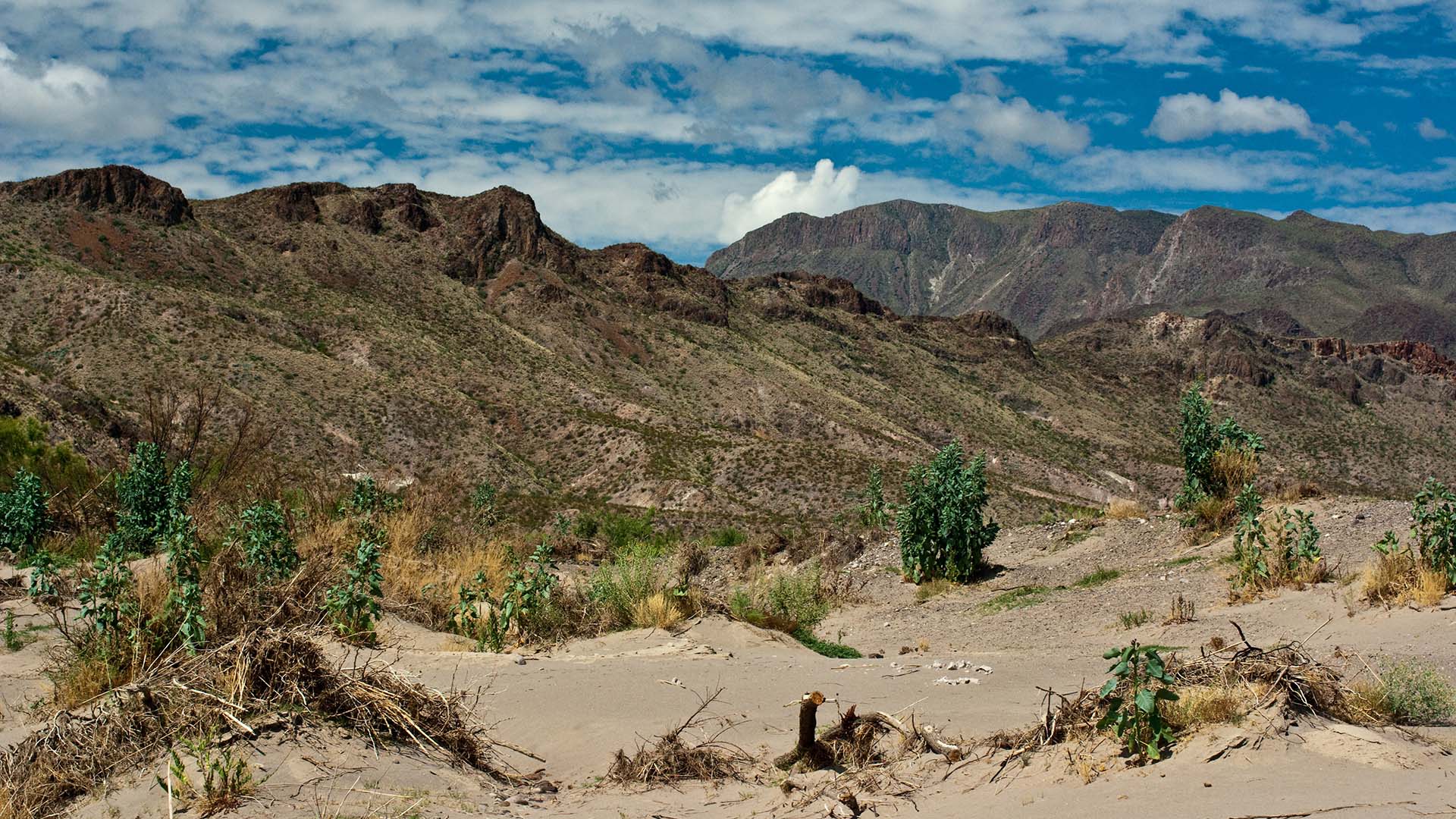
The United States Border Patrol is using GIS to improve its search and rescue (SAR) operations for migrants in distress.

The American Association of Geographers’ Elevate the Discipline program helps geographers connect with the media and key stakeholder groups.

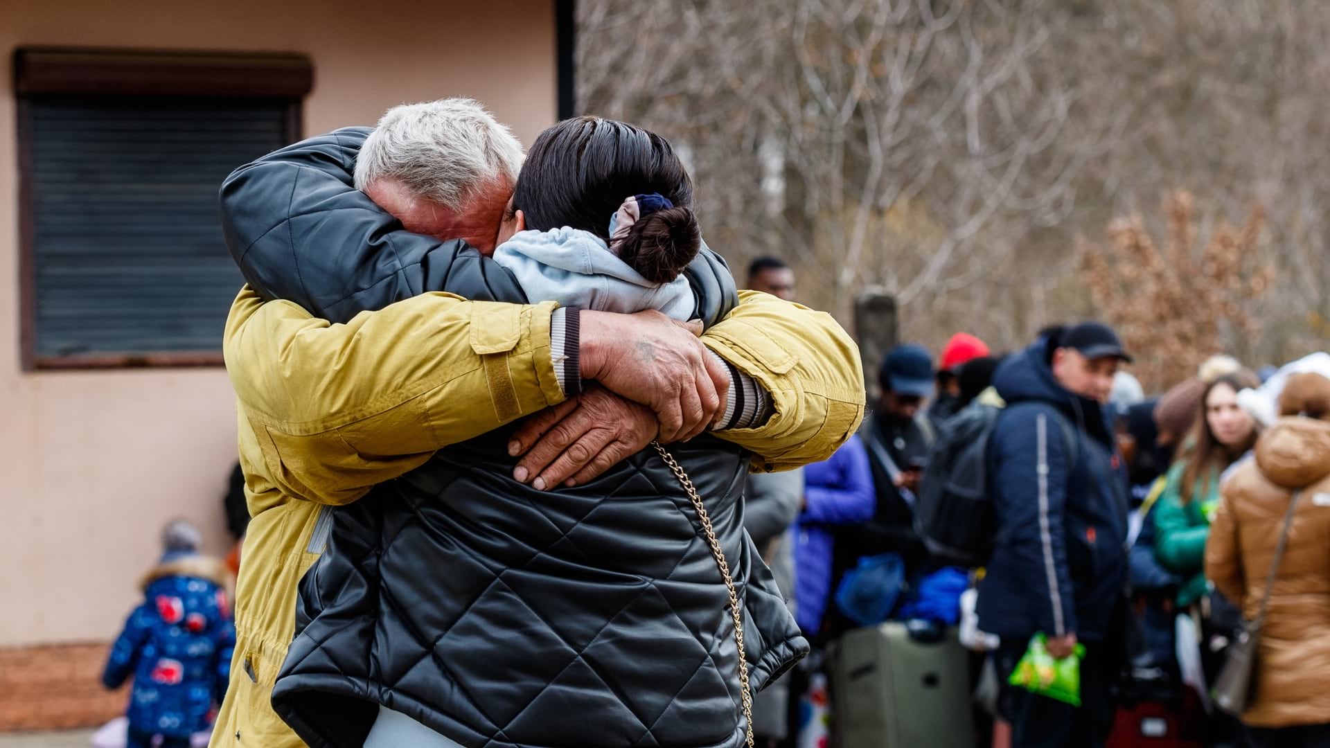
Volunteers with aptly named MapAction use maps and visualizations to guide relief organization’s response to disasters and conflict.
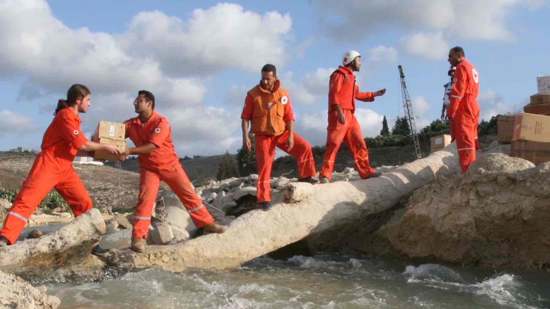
The Lebanese Red Cross use GIS to guide 1 million humanitarian aid actions per year, delivering context to build in-country capacity.
In Doug Richardson’s last column, he reflects on what has helped build, guide, and sustain a thriving GIS and geography community.
The potential for GIS and GIScience to contribute to the formation of public policy has long been a reality, but it is now becoming more broadly…