displaying 195 results
The Ashland Fire Department uses maps to catalogue wildfire risk, prioritize outreach to homeowners, and plan effective home hardening.
Marzio Dellagnello led one of the largest international geospatial cooperatives in history, and he’s a big part of why it’s been a success.
ArcGIS Runtime SDKs 100.6 ushers in a track-focused road map for the developer technology centered this time on utilities and public safety.

Learn from instructors about ArcGIS Indoors or image analysis for defense, and test your skills with new knowledge assessments.

Esri is hiring people with all levels of experience for positions at its headquarters, regional offices, and R&D Centers.

ArcGIS Runtime SDKs 100.7 expands capabilities for utilities, defense, and public safety.
With ArcGIS technology, the National Museum of the United States Army created a searchable app to display and highlight donors’ artifacts.

The US military first experimented with aerial surveillance during the American Civil War (1861–1865).

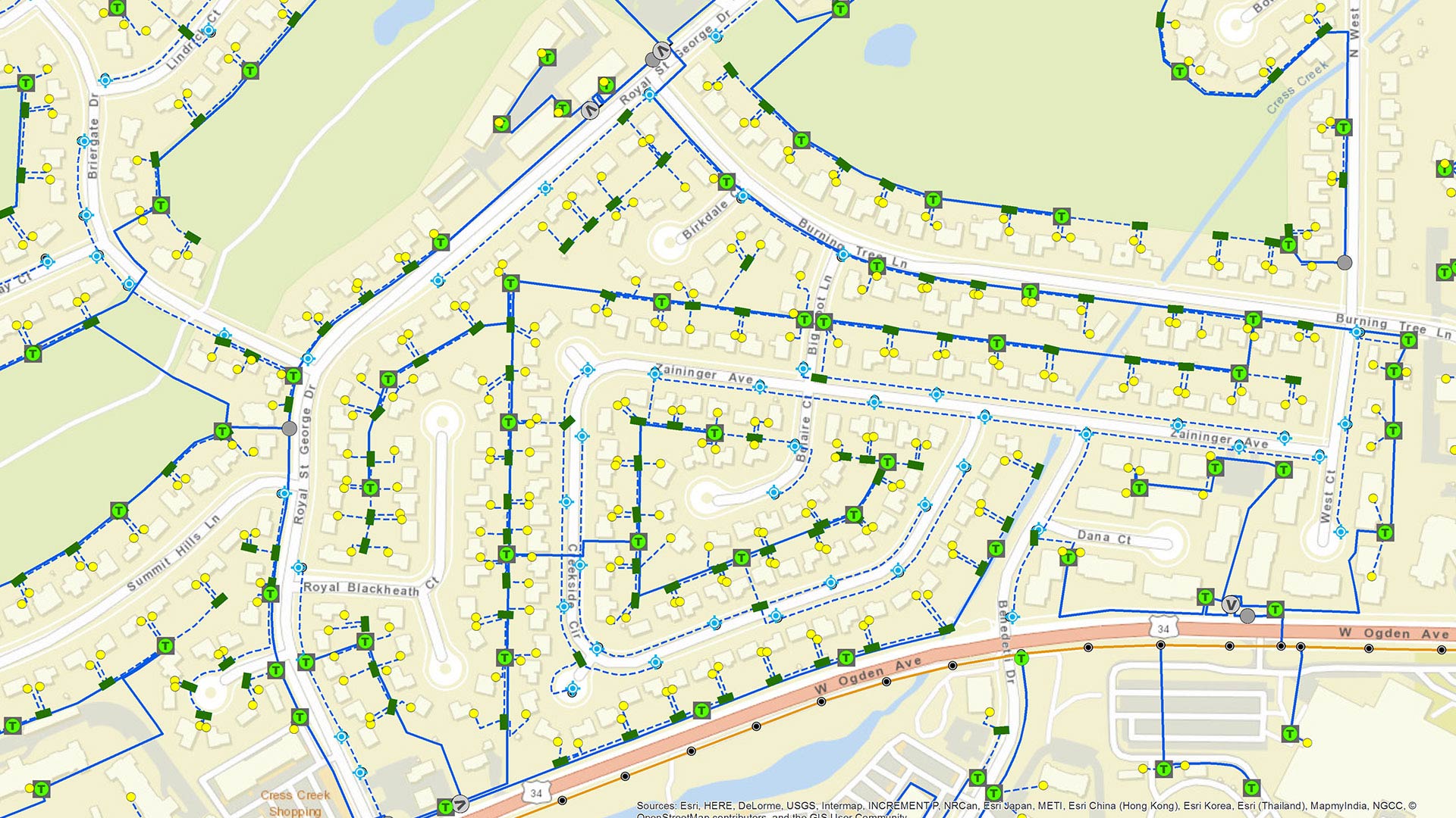
Smart business leaders are mapping their IT assets in a way that makes it easier to patch vulnerabilities and head off risk.

GIS helped two companies—Quiet Professionals and Janes—connect people who want to leave Afghanistan with those who can help them.