displaying 1006 results
ArcGIS Image for ArcGIS Online, an extension to ArcGIS Online, makes imagery more accessible and more easily managed.
Select the best way to share your imagery and raster data.
Brierley Associates uses Site Scan for ArcGIS to quickly process imagery and produce visualizations that protect the integrity of the land.
Collecting imagery in Michigan is difficult. A cross-governmental, cloud-hosted approach helps the state and counties keep imagery fresh.
ArcGIS Image provides flexible data management, extensive sensor support, imagery processing and analysis capabilities, and secure sharing.
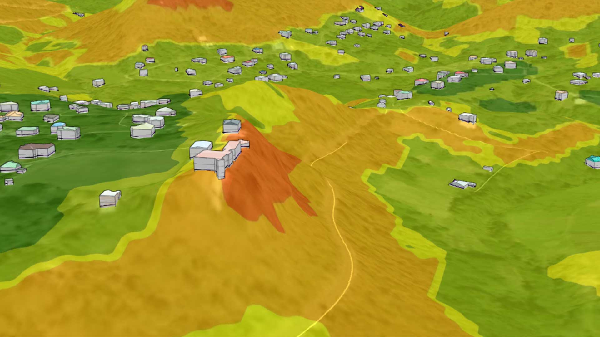
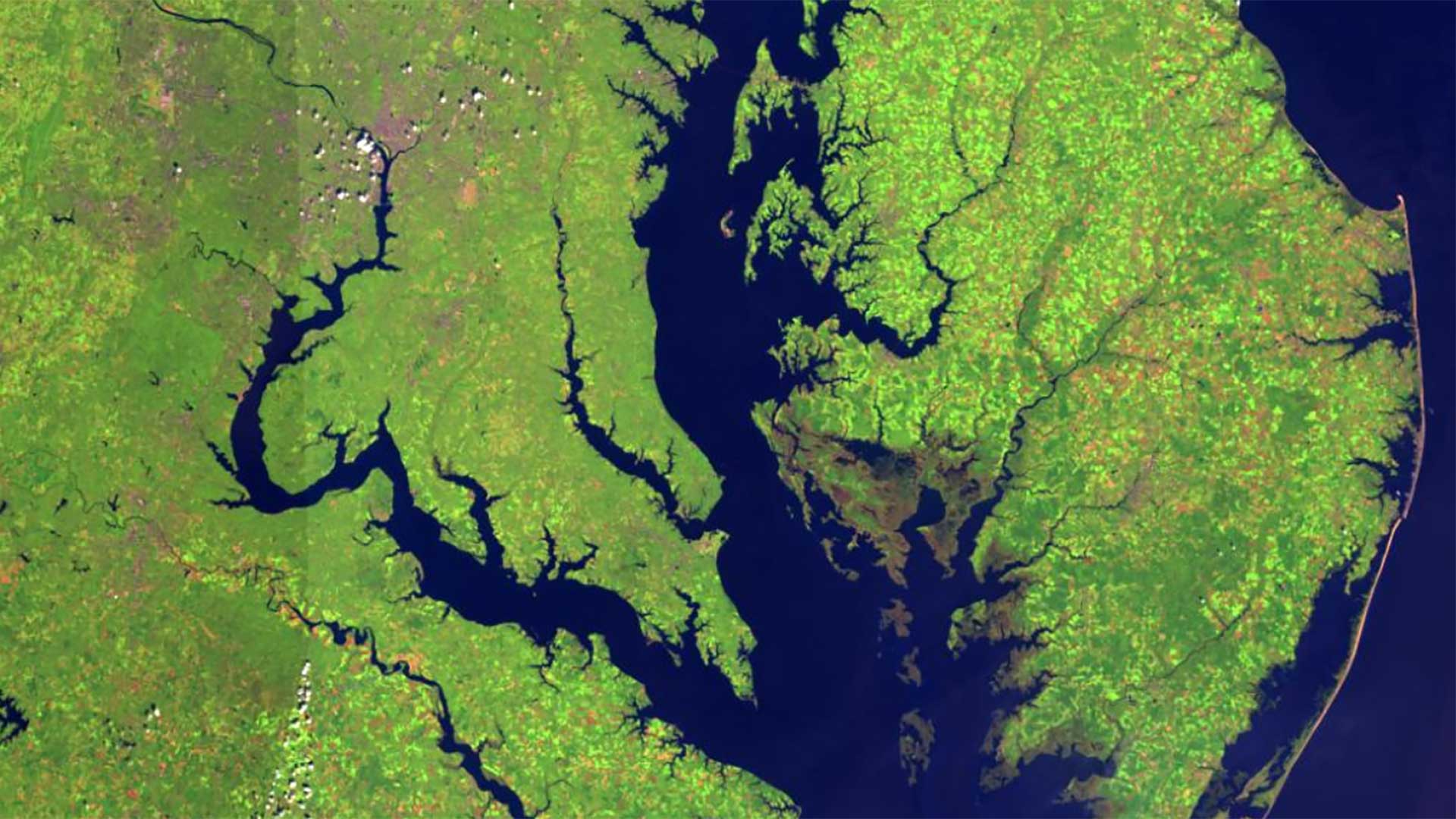
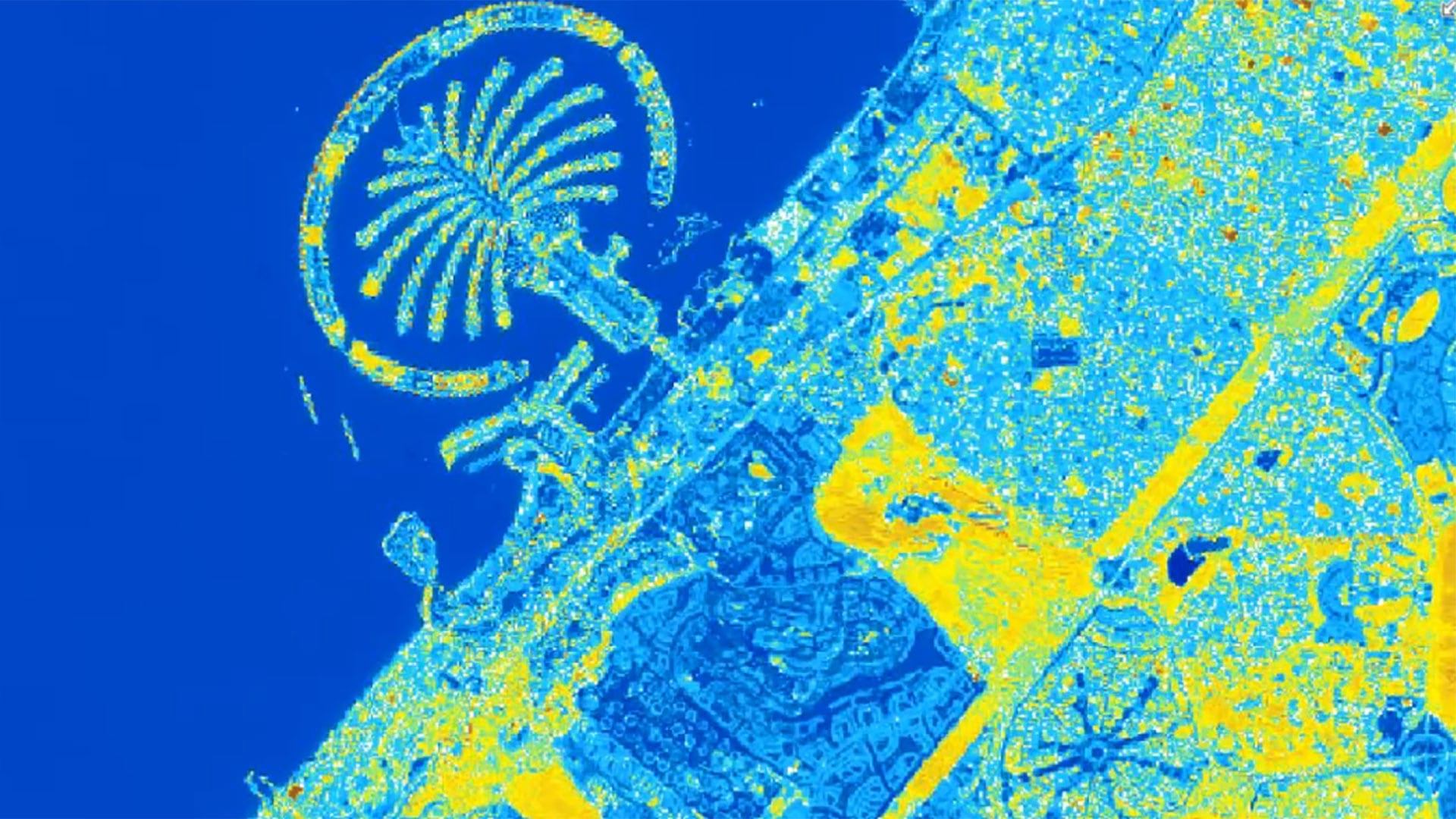
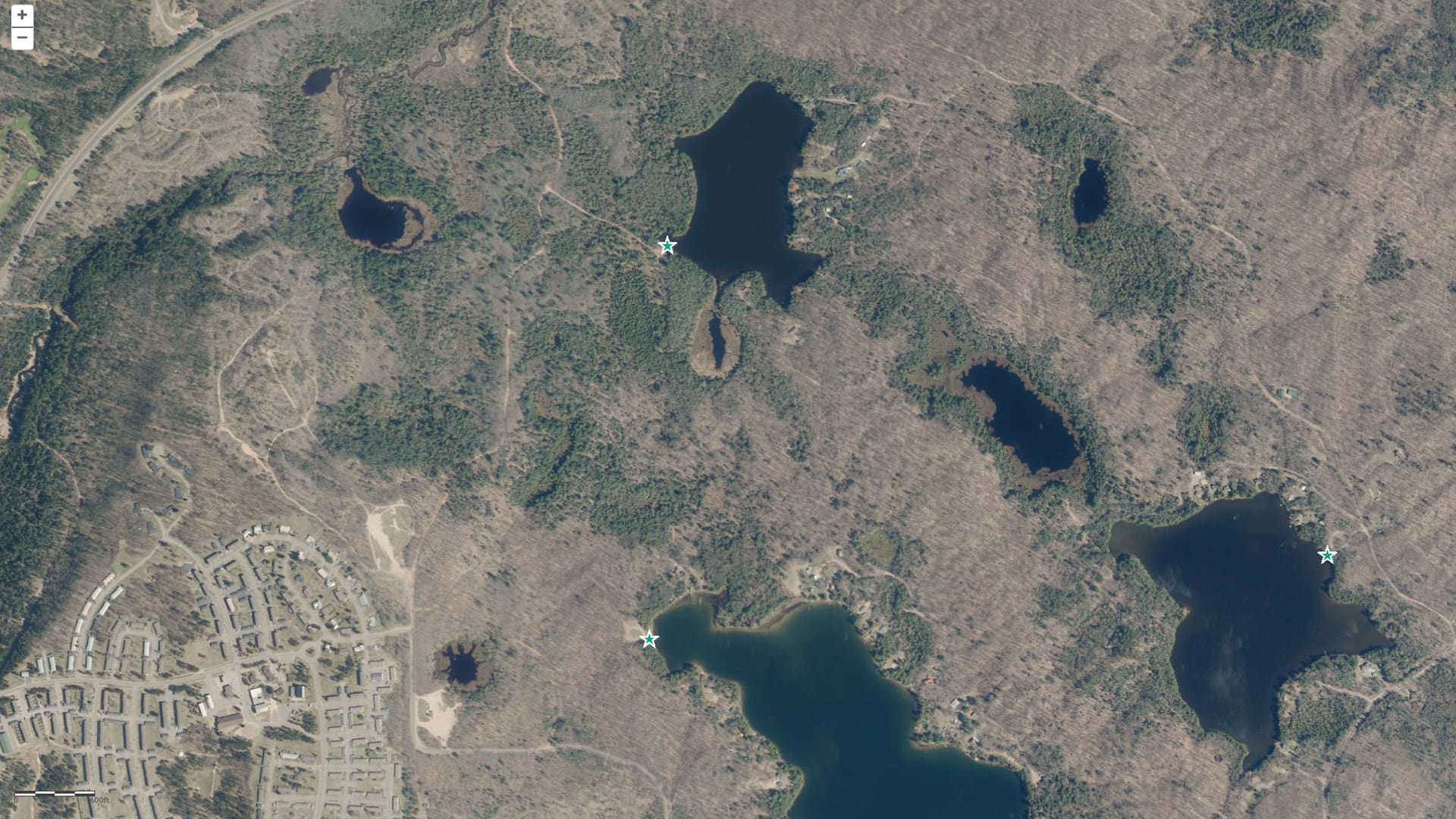
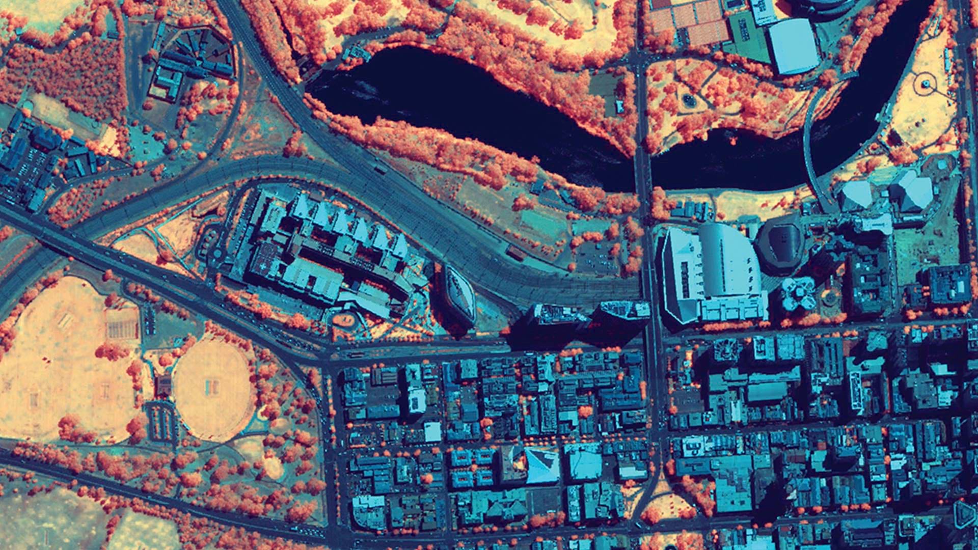
Actionable information can be derived from imagery: detecting, identifying, and mapping change for a wide variety of applications.

At the 2015 Esri Federal GIS conference in February, Esri announced that the newly launched Hexagon Imagery Program, which provides ready-to-use
After three category four hurricanes struck the United States in less than a month in 2017, rescue and recovery workers needed information about…
Remote sensing has always rapidly incorporated advances in technology, but the pace of change has quickened recently.
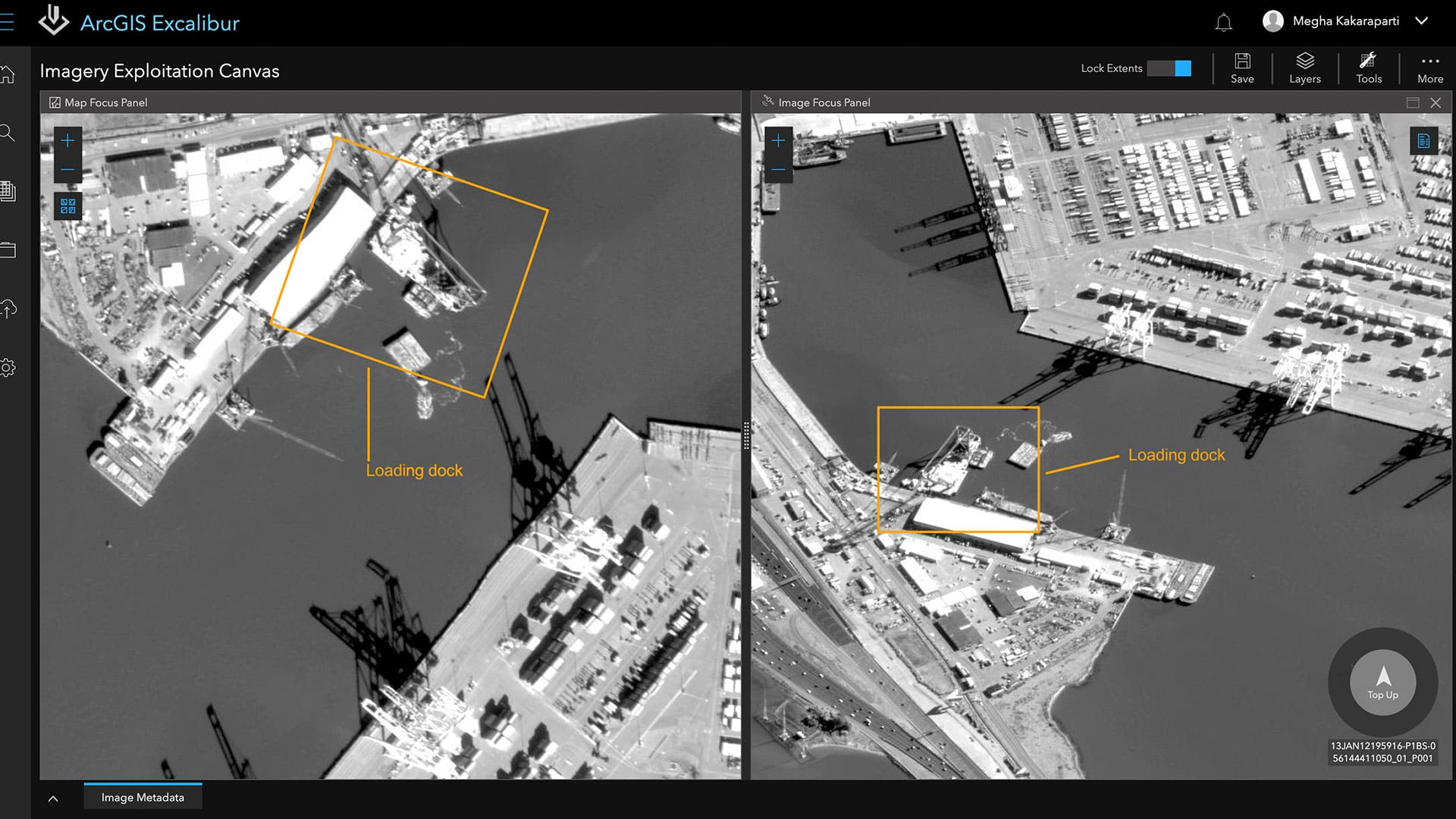
ArcGIS Excalibur unites GIS and imagery in one web-based app, transforming how analysts search, discover, and work with imagery.

Frank Avila from NGA talks about the agency's interest in AI, the growth of the small satellite market, and advances in hyperspectral imagery