displaying 1242 results

Recent updates boost organizational efficiency, give mobile workers new field capabilities, and support integration with other technology.
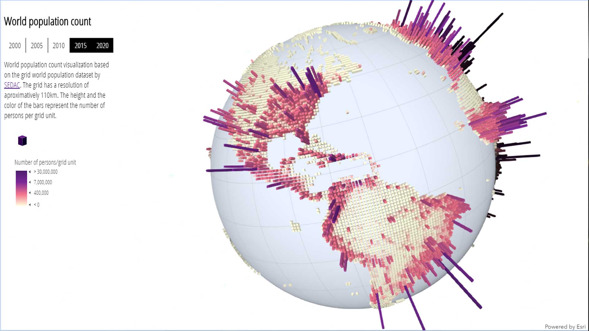
With the ArcGIS API for JavaScript, developers can now create 3D experiences that work well in both mobile and desktop browsers.

Anonymized data from mobile phones allows scholars and researchers across diverse fields to find hidden truths in human mobility patterns.

The WindNinja Mobile app, powered by GIS, provides firefighters with wind speed and direction forecasts in potentially dangerous conditions.

To enable efficient and proactive management of its water, sewer, and storm pipes, Greece’s Thessaloniki Water Supply and Sewage Company...
Once considered part of the American Wild West, today the state of Idaho is a large, sparsely inhabited state.

A new mobile app, ArcGIS Field Maps, gives mobile workers a single app that can perform multiple critical field activities.

Economic mobility begins with affordable housing and affordable housing begins with zoning reform.

Make sure you app gets used and seen. Create is with mobile in mind.

The office increased efficiency and data quality by implementing custom mobile data collection, data management, and reporting tools.

The new app gives users the ability to collect data, view maps, and track locations all within a single mobile experience.