displaying 411 results
Esri Small Nonprofit Organization Grant Initiative helps nonprofits improve their operations with GIS.

Armed with the understanding that trees and shade improve health, Los Angeles works with partners to plant new trees equitably.

The tech company is using location awareness to support Black communities by digitally transforming a network of nonprofits.
The software and services provided by the Esri Small Nonprofit Organization Grant.

A new grant from Esri gives nonprofit organizations free geospatial software, and find out how to celebrate GIS Day!
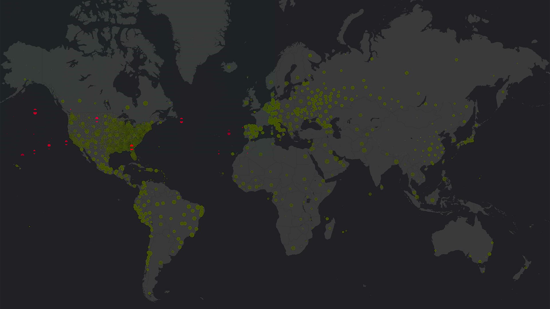
Health ministries, nonprofits, hospitals, and municipalities used GIS to locate cases of COVID-19, predict its spread, and start reopening.

Sightsavers, an Esri Nonprofit Program participant, is using GIS to fight infection-based vision loss.
By 2020, it will be feasible to find GIS data for any park or other protected area in the United States.
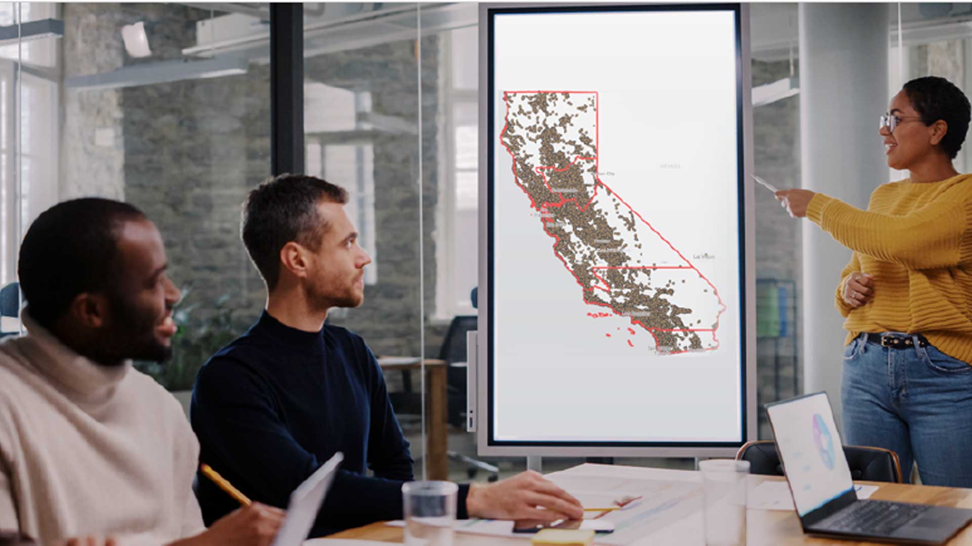
Small nonprofit organizations based in the United States can apply for a grant from Esri that provides GIS software, data, and training.
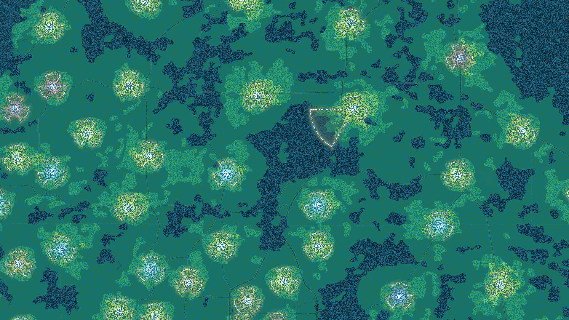
Nonprofit land trust organizations implement environmental planning using conservation strategies such as conservation easements.

Using ArcGIS Pro and ArcGIS Online, Food Rescue Hero developed a new way to provide fresh food to tens of thousands of people in Pittsburgh.

GIS Hero Larry Orman forged a career that set the agenda for regional planning and conservation.