displaying 395 results

Esri is contributing to scientific projects that are part of the UN Ocean Decade.
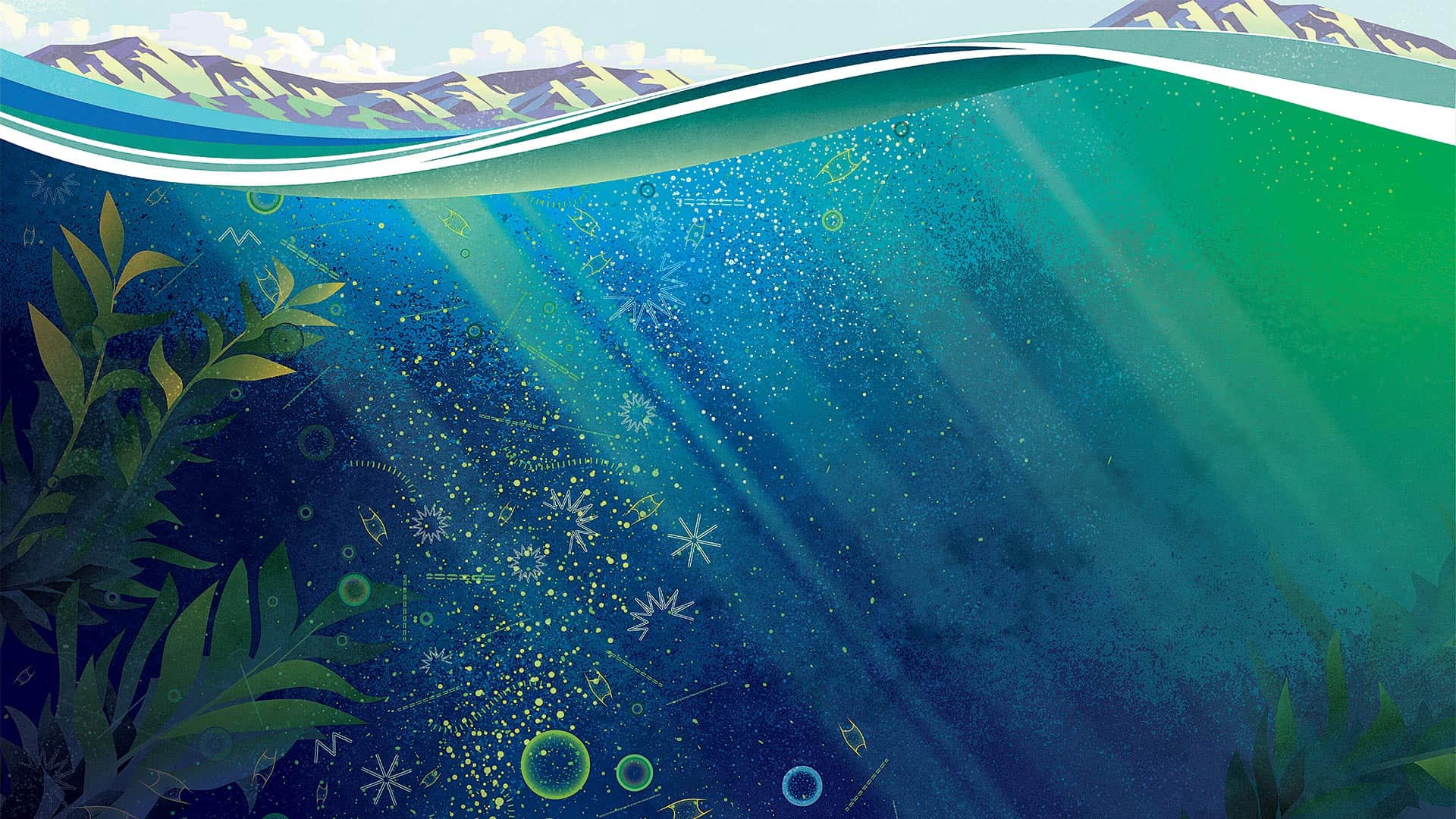
The decline of oxygen in the ocean concerns absolutely everyone, no matter where we live.
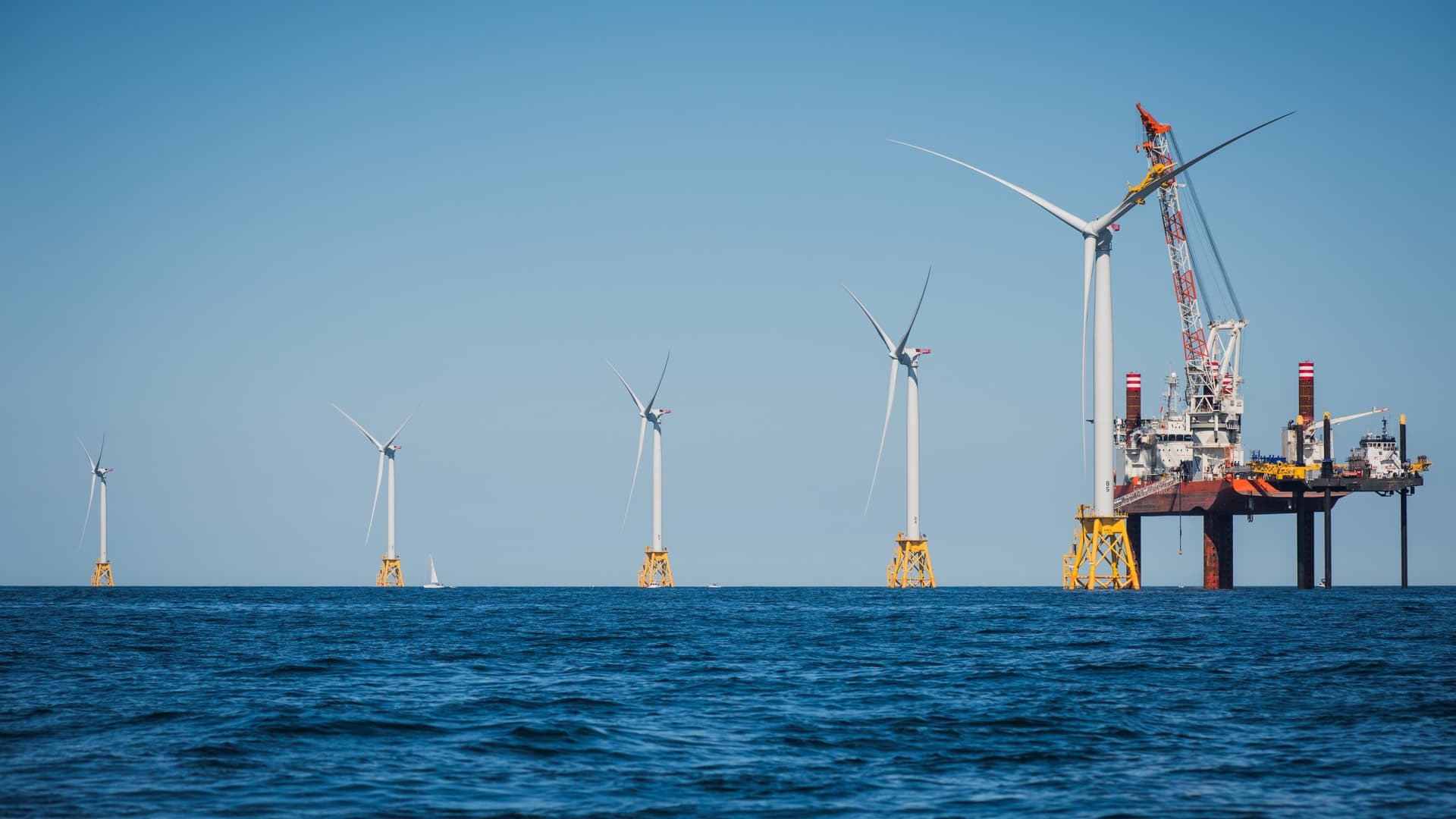
Innovative shared ocean data and mapping efforts are resulting in better economic and environmental decisions for sustaining the blue economy.

Scientists know more about the dark side of the moon than they do about Earth’s ocean depths. Seabed 2030 seeks to change that.

The Pacific Ocean Accounting Portal brings attention to this body of water in ways that decision-makers can quickly understand.

The GEBCO-Nippon Foundation Alumni team (GEBCO-NF Alumni) won the Shell Ocean Discovery XPRIZE.
Esri’s chief scientist became the first person of African descent to dive to Challenger Deep, where she surveyed its Western Pool.
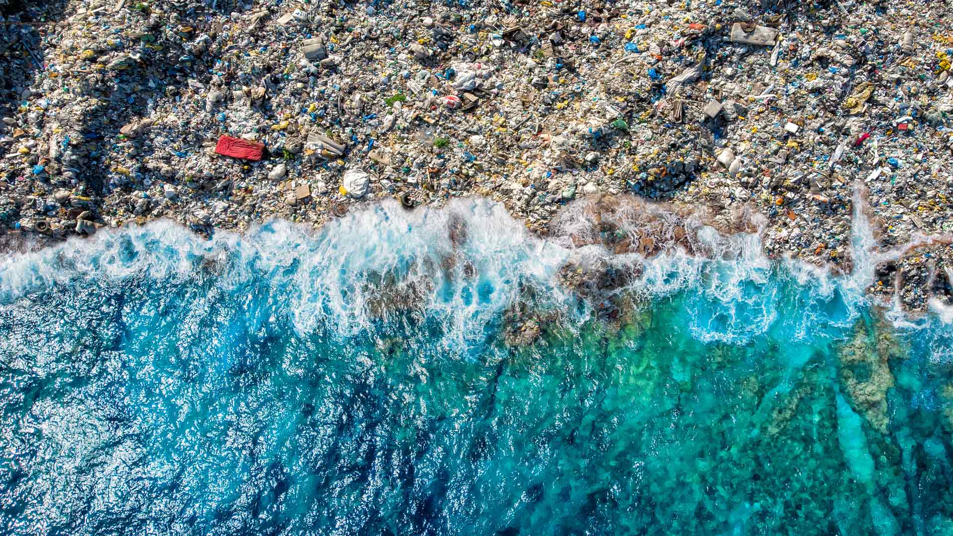
The GIS user community is key to figuring out which beaches around the world are consistently fouled by plastic and how to clean them up.

The Ecological Marine Units (EMUs), composed of a point mesh framework of 52 million global ocean measurements.
Applied Ocean Sciences uses GIS to inform and distribute its acoustical modeling work, providing scientists and mariners with new understanding.