displaying 14 results

The safest city in the US relies on SAFER, a software platform whose name stands for Situational Awareness for Emergency Response.

Portugal’s Ministry of Internal Administration built a geospatial platform that lets security personnel more easily integrate data.
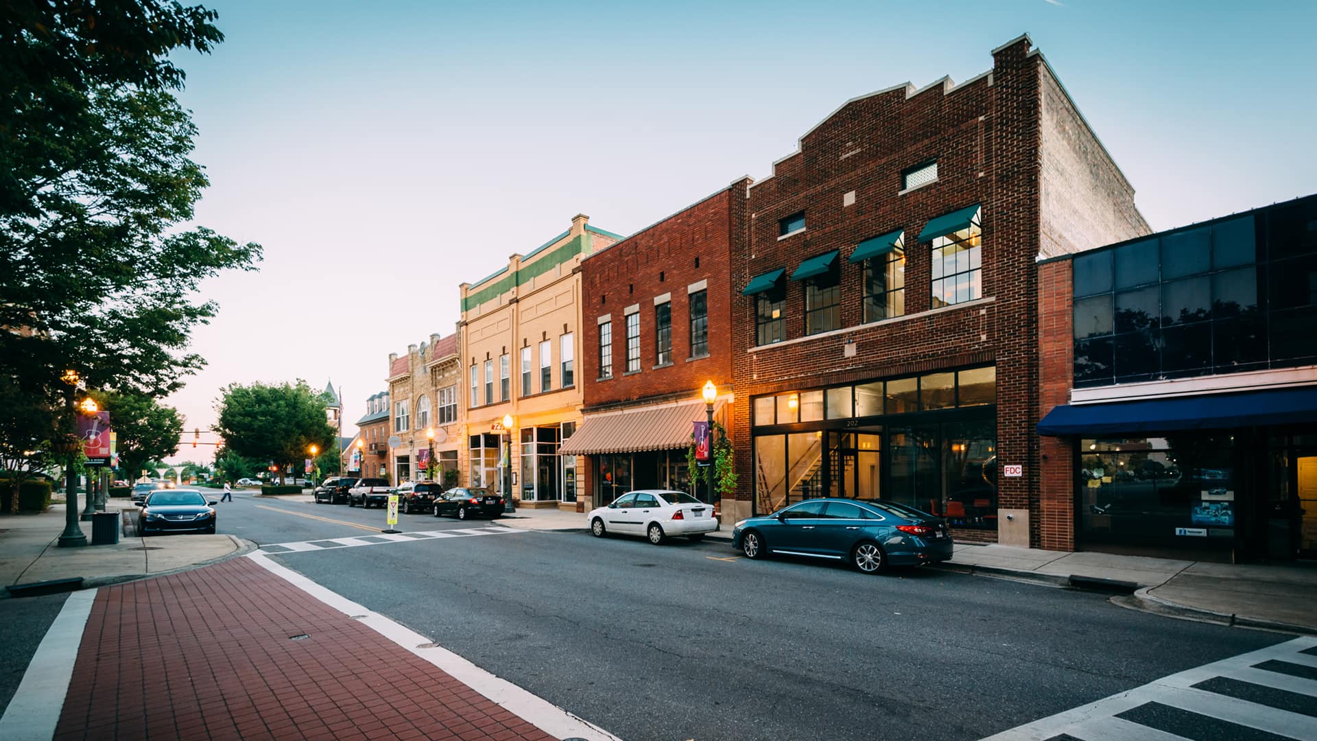
With ArcGIS solutions, the City of Rock Hill, SC, was able to get a handle on the geography of public safety and code violation events.

The government of Queensland, Australia, use ArcGIS AppStudio to help keep its residents and wildlife safe.
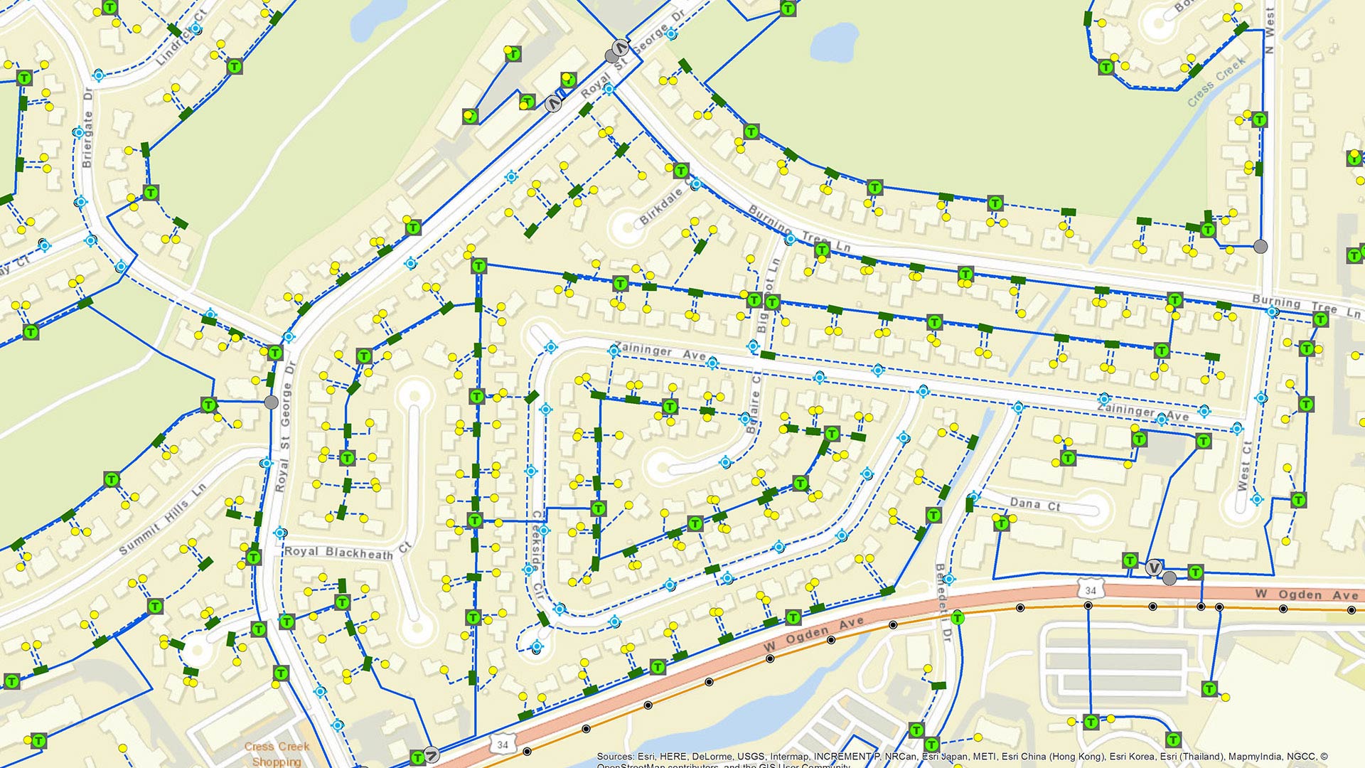
ArcGIS Runtime SDKs 100.6 ushers in a track-focused road map for the developer technology centered this time on utilities and public safety.
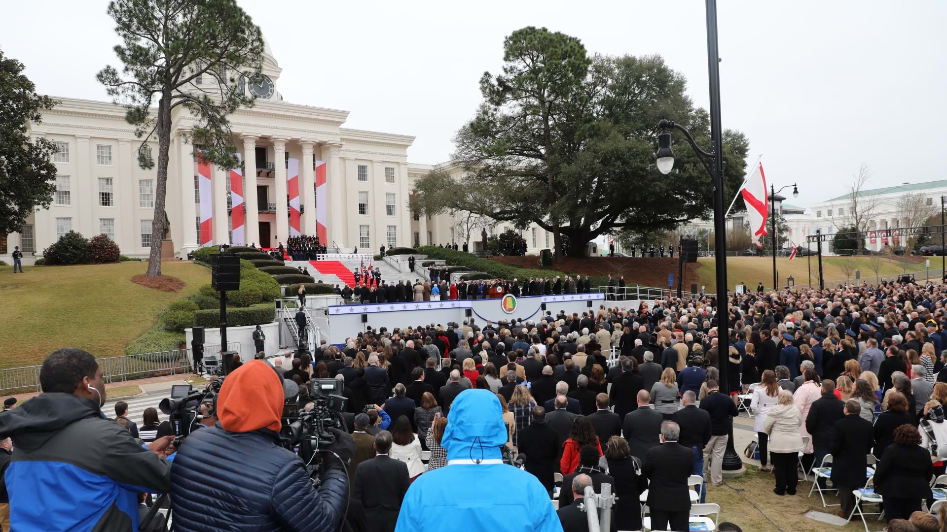
Alabama Law Enforcement Agency deployed a new command and control system to streamline security at the governor's inauguration.
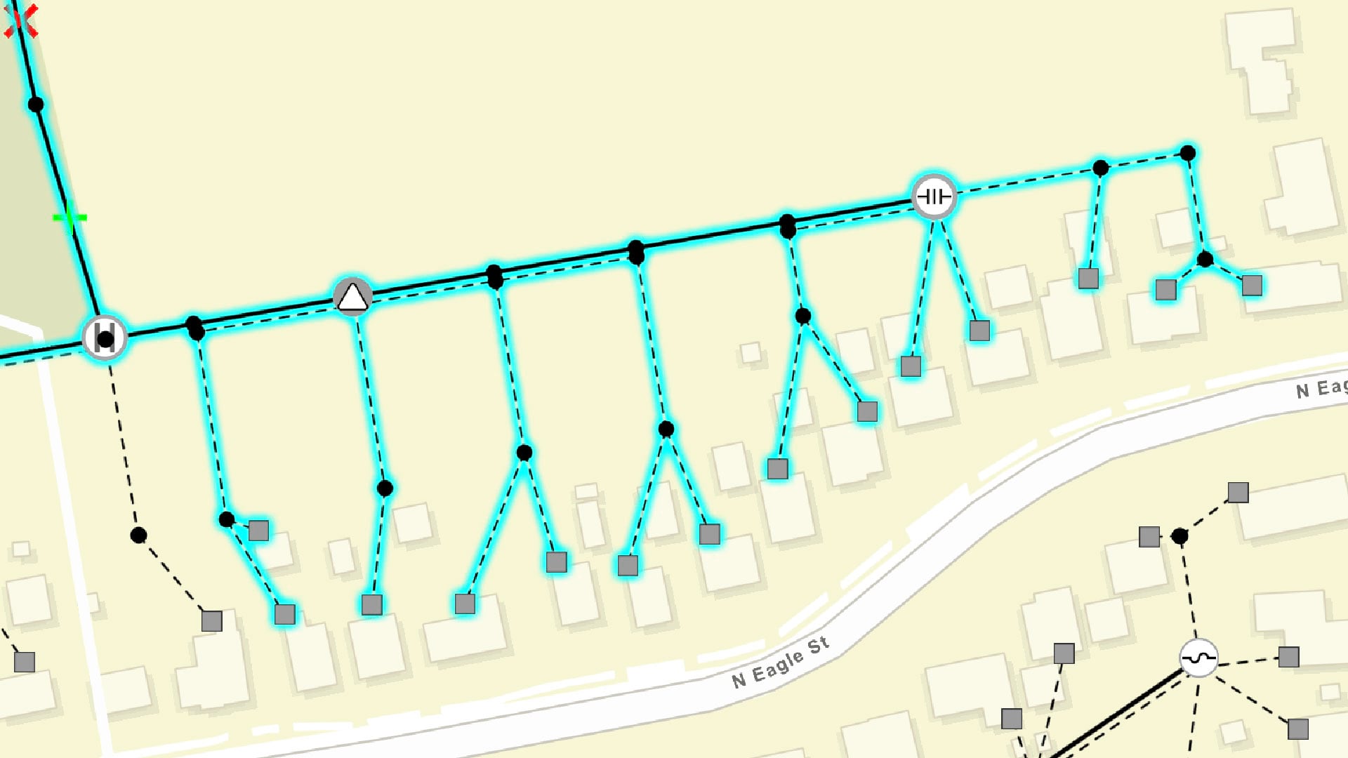
ArcGIS Runtime SDKs 100.6 is a major milestone in the capabilities it adds.

The St. Louis Metropolitan Police Department has evolved from mapping crime to delivering maps, apps, and dashboards to the whole force.
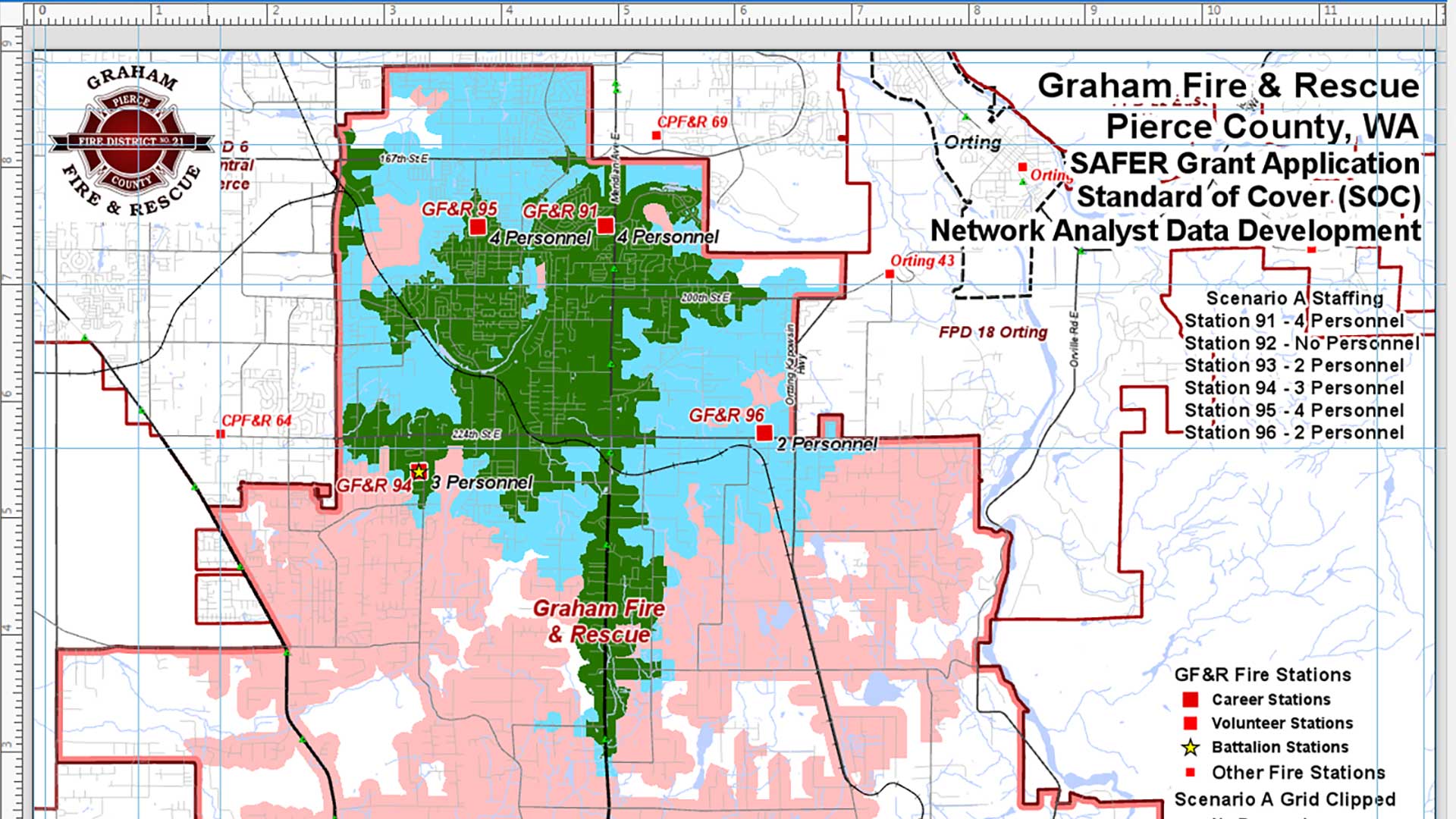
The Mike Price tutorial walks you through analyzing the effective response force for a fire district given different staffing scenarios.
Smart Maps, Dashboards, and Location Data Analysis Have Become Mission-Critical Tools
When every second counts, law enforcement and first responders need accurate location data and reliable geographic intelligence.