displaying 955 results
ArcGIS includes the capability to use real-time data in everyday decision making.

Connecting Chicago’s Emergency Operations Center to real-time runner locations on the course helps the Chicago Marathon run smoothly.

The Illinois State Police used the Illinois State Fair as a testing ground for real-time digital apps, spurring adoption in everyday operations.
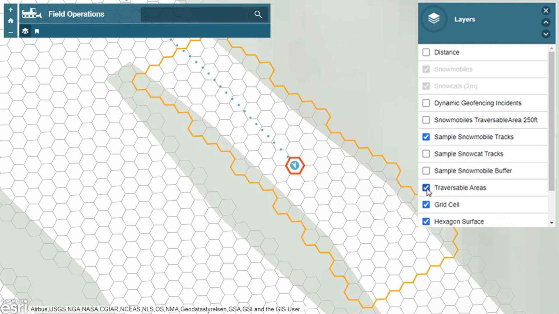
Breakthroughs in real-time mapping make it possible to track multiple moving assets and anticipate potential collisions.
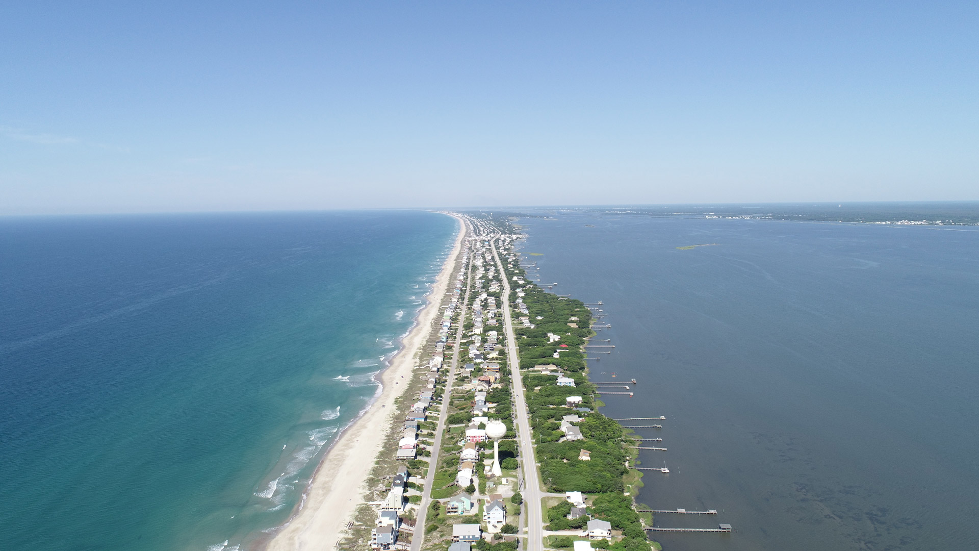
Residents of Emerald Isle now have a real-time view of where yard debris trucks are at any given time, improving government transparency.

San Antonio deployed real-time location intelligence to combat fears and enhance public safety during the NCAA Final Four events.

Real-time GIS provided an important input to improve event security in a rural area to manage a big and complex event.

To verify employee and volunteer safety while on house calls, Big Brothers and Big Sisters of London and AREA uses a real-time GIS.

ArcGIS Analytics for IoT can help organizations use the big, real-time data generated by IoT devices to gain spatial insight and awareness.

ArcGIS Maritime now integrates with ArcGIS Field Maps, taking Electronic Navigation Chart production out of the office and onto the water.

The Snow Mappy app uses location intelligence to help skiers and snowboarders find their way around a mountain safely and successfully.
The Argentine Coast Guard uses ArcGIS Enterprise to monitor illegal activity throughout the country’s exclusive economic zone.