This new map book includes 133 full-color maps produced by more than 30 federal government agencies.
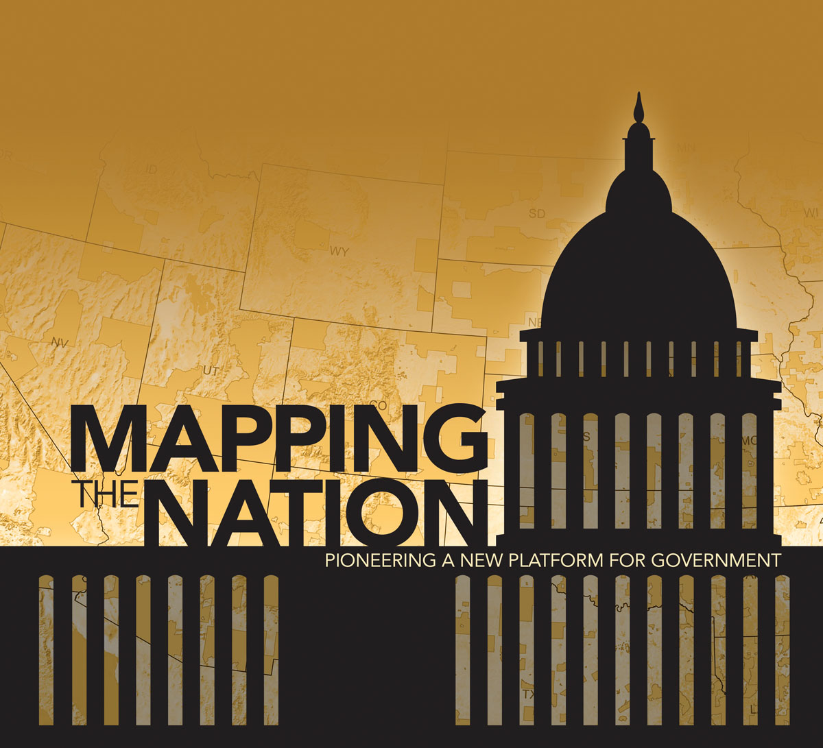
Third in Esri’s Mapping the Nation series, Mapping the Nation: Pioneering a New Platform for Government includes 133 full-color maps produced by more than 30 United States federal government agencies, including the Department of Transportation, the Environmental Protection Agency, and the Senate. It demonstrates how government at the national level uses GIS to encourage citizen involvement, foster understanding between diverse perspectives, and offer a new platform to compare and exchange information among its constituents and staff.
The book shows how the ArcGIS platform is used daily by federal employees, officials, and—in some cases—the public to gather, analyze, and respond to questions and challenges that range from the common to the catastrophic. Highlighted agency work includes marine spatial planning and charting, census and population, humanitarian assistance, conservation and environmental assessment, renewable energy, human health, emergency management, national security, planning and managing facilities, and transportation analysis.
"In a previous version of this book, I spoke about the development of a GIS platform that would promote more efficient and transparent governance through a new framework, including cloud computing," says Esri president Jack Dangermond. "This platform is now in place, and the US federal government is taking advantage of its powerful capabilities, as you will discover in this new edition."
Mapping the Nation: Pioneering a New Platform for Government (ISBN: 978-1-58948-334-7, 120 pages, US$19.95) is available at online retailers worldwide, at esri.com/esripress, or by calling 1-800-447-9778. Outside the United States, visit esri.com/esripressorders for complete ordering options, or visit esri.com/distributors to contact your local Esri distributor. Interested retailers can contact Esri Press book distributor Ingram Publisher Services.