Applying Geodesign to Mitigate Flood Risk in the Town of Cobourg, Ontario


“As development occurs across the landscape, sustainable management and appropriate planning are required to ensure that current and future actions do not degrade, alter, or destroy the existing environment,” says Jeffrey. “When significant development happens in a small town, it is imperative to consider the bigger picture.”
For informed planning, GRCA applies classic principles of geodesign, using robust tools to design and evaluate structures that work in harmony with nature. This allows the town to meet goals related to both sustainability and regulatory compliance. The town has found that Esri’s terrain dataset, along with the ArcGIS 3D Analyst extension, allowed staff to develop a digital elevation model (DEM), an accurate 3D representation of the town’s surface terrain.
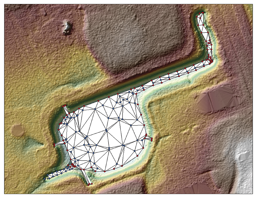
The DEM is used to calculate floodplain elevations and map floodplain boundaries. Capturing this level of accuracy supports effective analysis so that recommendations can be made for the design and implementation of new storm water management infrastructure and detention ponds throughout the town of Cobourg.
Detention Ponds to Diminish Storm Water Surges
Detention ponds are storm water management facilities designed to protect against flooding and, in some cases, downstream erosion by storing water for a limited period of time and then releasing it slowly. They are also used to collect suspended sediments, which are often highly concentrated in storm water due to roadways and hard surfaces being washed off during rainfall.

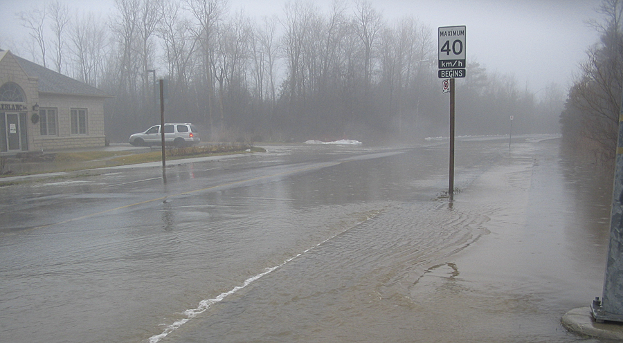
These ponds are a necessary fixture of growing urban areas because flood events are often greater in magnitude and frequency within increasingly urbanized landscapes. Furthermore, surfaces associated with urban areas, such as roads, parking lots, and rooftops, prevent the natural infiltration of water into soil, which can potentially cause widespread flooding downstream. When analyzing existing or potential pond sites, GRCA leverages the ArcGIS 3D Analyst extension to incorporate multiple criteria into the decision-making process. This can include land availability, geographic conditions, and site-specific legal and jurisdictional considerations. Using GIS, it’s also possible to evaluate the performance of a detention pond, including its attenuation efficiency (the ratio of runoff retained in a pond versus the amount flowing in), prior to construction.
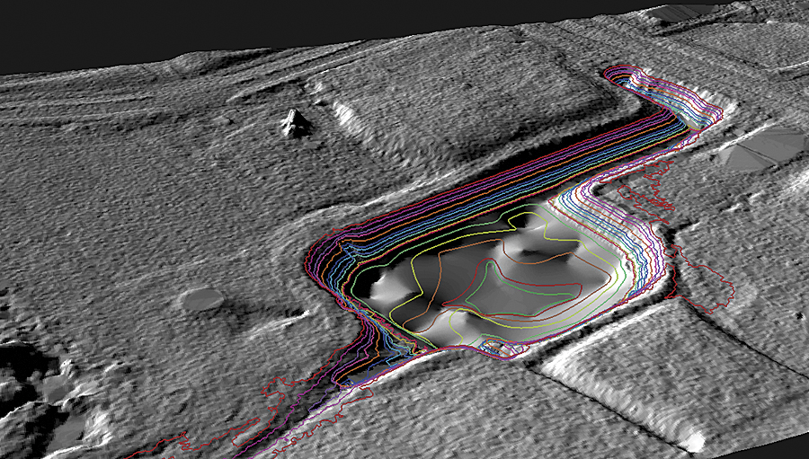
By visualizing lidar fused with GPS survey data, GRCA can also determine the amount of sediment accumulation within each pond that should be prioritized for removal. When new development occurs, the DEM is leveraged to forecast flow capacities along the floodplain and flag potential spill inundation areas that may require the implementation of new storm water management structures.
“We’ve created a living terrain dataset that can be exported at any time to produce an updated DEM,” explains Jeffrey. “This means that we don’t have to purchase new datasets every time new construction occurs, and we can use our existing model to analyze how water flows over the new terrain features.”
Modeling for Reduced Risk
The updated DEM is used for both hydrologic and hydraulic analysis. GRCA first produces a hydrologic DEM, which is conditioned to support hydrologic models that simulate storm water runoff into watercourse features. The next step is to introduce hydraulic information in the form of in-stream 3D representations.
To support hydraulic analysis, in-stream features are captured using real-time kinematic GPS and fused with the hydrologic DEM to produce a hydraulic DEM. Features such as top-of-bank breaklines, stream centerlines, and cross-sections provide the necessary 3D representation within river banks, which is typically not captured during DEM production. GRCA can then extract cross-sections from the hydraulic DEM and import them into a hydraulic model for engineering analysis. The results are used to estimate flow for storm water systems during various types of rainfall events.
Floodplain maps are used not only to inform the development of storm management infrastructure but also to develop flood-related emergency response procedures. Because calculations are automated within the GIS, more time can be spent assessing flood-related issues, and less time is spent on the mechanical tasks of preparing data. Three-dimensional modeling using the ArcGIS 3D Analyst extension also makes it easier to communicate requirements with engineers and gain buy-in from stakeholders.
For more information, contact Ian Jeffrey, GIS/remote-sensing specialist, Ganaraska Region Conservation Authority.

