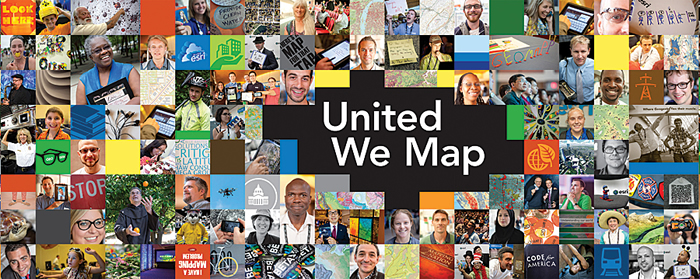
Esri UC Offers Insights, Innovation, and the Chance to Come Together

Every summer in San Diego, the geospatial community unites for the Esri International User Conference (Esri UC). This year, Esri anticipates at least 15,000 attendees for Esri UC, to be held July 14–18. The event promises to spotlight 900 real-world projects, 300 technical workshops, and the world’s largest Map Gallery.
Esri UC is a chance to meet and learn from thousands of people, including technology innovators and industry trendsetters, who share a passion for GIS. It’s also a place to get started with GIS, get training, and get excited. Esri president Jack Dangermond unveils exciting new technology and shares his vision for the future. Esri partners and experts provide one-on-one assistance with specific solutions. Esri users from around the world share their experiences and challenges.
What’s in Store at the 2014 Esri UC?
The ArcGIS Platform: Learn to use ArcGIS as a platform across your organization, where you can compile and manage geographic data, work with advanced maps, perform spatial analysis, and conduct GIS projects. At Esri UC, you will see how to use your network or the cloud to create and share useful maps and apps with end users. You will also find the latest web and mobile apps included in ArcGIS, ready-to-use geographic content, and GIS services designed to get you started quickly.
Web and Mobile Apps: Extend the reach of GIS while using existing enterprise workflows. See how to take advantage of mapping applications and developer-focused software developer kits (SDKs). These apps make it faster and easier for field and office staff to collaborate and get real-time information.
Open Data: Through a new open data initiative, Esri makes it easy for you to discover, explore, access, and share open data. You will learn how to make your data available to the public or find and improve data for your applications (see “Opening Data to the People“).
Big Data: Data, data, everywhere can become unruly. But when that big data is corralled and put to good use, it can drive better decisions for disaster relief, finance, government, natural resources, retail, utilities, and business. At Esri UC, you will learn GIS techniques to tame big data and put it to work.
Real-Time GIS: New technologies are combining to enable real-time collection and sharing of data. At Esri UC, you will see how to connect with real-time data; how to get started with geofencing using the Esri Geotrigger Service; and how to deploy Operations Dashboard for ArcGIS, as well as the Collector for ArcGIS app. You can also expand into mapping social media data for insight into what people are saying and where they are saying it.
Location Analytics: Discover new patterns and answers to any business challenge and share those insights across your organization. Location analytics solutions enable you to inject mapping and location into existing IT, such as Microsoft Office, Microsoft SharePoint, IBM Cognos, SAP, Salesforce.com, or MicroStrategy. Or you can design a custom solution.
ArcGIS for Developers: Esri UC introduces developers to simple, configurable APIs and SDKs, as well as ready-to-use content and geospatial web services. Build apps as an internal developer in an ArcGIS organization, sell to existing ArcGIS organizations, or create apps for the community at large. Plus, there is the opportunity to meet and mingle with Esri’s growing developer community.
Spatial Analysis: With spatial analysis services, you can analyze the data hosted in ArcGIS Online to answer such questions as, Where is the best location for a new school or retail store? or How many crimes have occurred within my city? Then, share those results with others in your organization or with the public. At Esri UC, you will hear the latest in ArcGIS Online, as well as tips and tricks for better spatial analysis.
Register for Esri UC today at esri.com/uc.