World Geocoding Service
Improvements in matching logic, intersection geocoding, and reverse geocoding boost match rates for the ArcGIS Online World Geocoding Service, thanks to a major update in June. This update includes additional functionality as well as quality improvements.
The number of countries supported by the World Geocoding Service has expanded as well as the regular update of reference data for all countries. Enhanced coordinate search, previously available only in ArcGIS Desktop, can now be done in ArcGIS Online. Points of interest (POIs) can be included in batch geocoding operations.

Improved Matching Logic
Although geocoding in the United States consistently yields high match rates, address databases may contain questionable addresses that have misspellings or contain information that can’t be geocoded such as the names of persons. Improvements in behind-the-scenes matching logic do a better job of handling poorly formed address searches (see examples in Table 1).
Better Intersection Geocoding
The World Geocoding Service can now locate the intersections of streets that are not physically connected such as a street ending in a cul-de-sac, a highway overpass elevated above the road beneath it, or streets entering a roundabout that intersect the roundabout but not another street.
New Methodology for Reverse Geocoding
Instead of using the previous process of converting x,y coordinates to an address or intersection to geocode them, ArcGIS Online now matches the location to be geocoded with the most relevant nearby feature when reverse geocoding.
Geocoding in More Countries
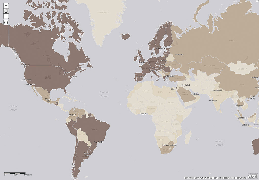
The list of countries supporting address-level geocoding has expanded from 109 to 135 countries. New authoritative address data sources have been added for Australia and Austria. Complete coverage information and a listing of the languages supported are available in thedeveloper documentation. The World Geocoding Service is regularly updated with new reference data providing detailed global coverage using high-quality, authoritative datasets.
Enhanced Coordinate Search
Defense and intelligence community users will be able to search for MGRS (Military Grid Reference System) coordinates in ArcGIS Online as easily as they have always been able to in ArcGIS Desktop. ArcGIS Online also supports searches using postal codes, addresses, populated places, and POIs from a single endpoint with the World
Geocoding Service as well as searches for latitude/longitude coordinates in different formats, such as degrees-minutes-seconds (DMS), and United States National Grid (USNG) coordinates.
Find POIs and Addresses in a Single Batch Operation
Users can batch geocode tables that contain addresses, postal codes, and POIs—in any combination—instead of having to deal with POIs separately. They can control which features are returned by using the newfeatureTypesparameter, available with the reverseGeocode operation through the service REST API.
Continually Improving
Additional improvements are planned for future releases. Send feedback on these enhancements and others that might be useful to the Basemap and Geocoding Feedback group on ArcGIS Online.

