April 23, 2024 |
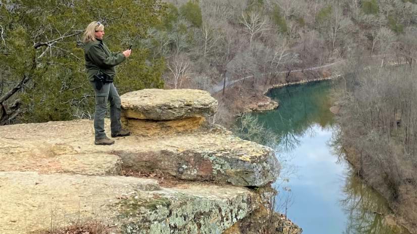
Tennessee State Parks have embraced GIS technology to empower rangers, modernize park operations, and enhance conservation efforts.
Better vision. Better world.
April 23, 2024 |
Tennessee State Parks have embraced GIS technology to empower rangers, modernize park operations, and enhance conservation efforts.

February 20, 2024
March 26, 2024
February 13, 2024

August 29, 2023 Multiple Authors |
March 12, 2024

April 9, 2024
April 2, 2024
April 18, 2024 |
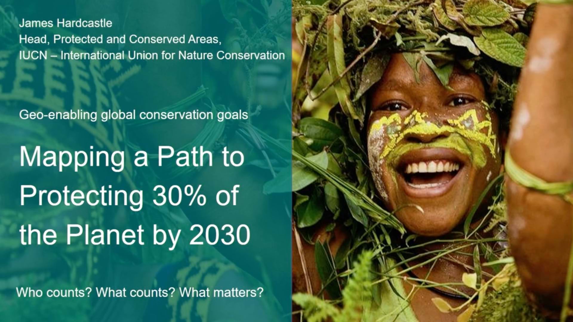
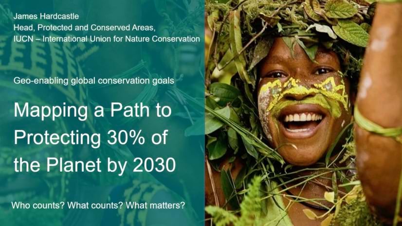
IUCN sets the standard for successful nature conservation and is working to geo-enable the process to achieve 30x30 biodiversity protection.
April 13, 2024 |
The Ten Across initiative promotes resilience and adaptation along the US Interstate 10 corridor using maps to focus on common challenges.
April 9, 2024 |
April 4, 2024 |
April 2, 2024 |
March 26, 2024 |
March 12, 2024 |
March 5, 2024 |
February 27, 2024 |
February 20, 2024 |
April 23, 2024 |
April 18, 2024 |
March 26, 2024 |
February 27, 2024 |

February 15, 2024 | Multiple Authors |
November 1, 2023 |
October 3, 2023 |

September 19, 2023 |

February 6, 2024 |
December 26, 2023 |
December 19, 2023 |
October 24, 2023 |