Annual Event to Showcase 3D Visualization and Design Solutions for a Complex World
3D visualization and design using GIS technology will be one of the main themes at the Geodesign Summit, which returns later this month to Esri headquarters in Redlands, California.
People are visual creatures who see the world in three dimensions. It makes sense that 3D technology should play an increasing role in making the complex easy to understand. The complexity of the many layers of spatial and non-spatial information that can go into a geodesign workflow requires that information be communicated in intuitive media so people understand it more easily. When 3D technology is used with intuitive media, both non-technical and technical observers can better grasp the behavioral and aesthetic impacts of proposed change in the context of the world around them.
Both geodesigners and software developers are trying to improve the capabilities of tools and processes to support inclusive, innovative, and informative geodesign practices. At the Geodesign Summit, they will demonstrate how 3D geospatial technology such as Esri CityEngine is being used in projects around the world. For example, the Singapore Redevelopment Authority uses CityEngine for urban planning. (Watch the video). And Idaho State University is creating 3D web scenes of downtown Pocatello, Idaho, to show design change s options for the Portneuf River channel system.
Esri president Jack Dangermond will open the summit, presenting an overview of advances to Esri 3D capabilities across the ArcGIS platform. Esri product development staff will showcase some of the work that is being done to help customers enhance their geodesign efforts with 3D.
Esri technology featured will include new Complete Streets styles that allow Esri CityEngine users to rapidly generate alternative visualizations of new bike lanes, bus, and rail lines, “parklets’ – or mini parks and realistic trees by species. Esri staff will demonstrate how Singapore has improved planning processes by using 3D models for rapid analysis of sun shadow and wind impacts within the city. Esri staff will show new capabilities that give CityEngine and ArcGIS Pro users the ability to publish 3D visualizations to the web using either the desktop or a web browser to aggregate data and begin telling their stories in 3D.
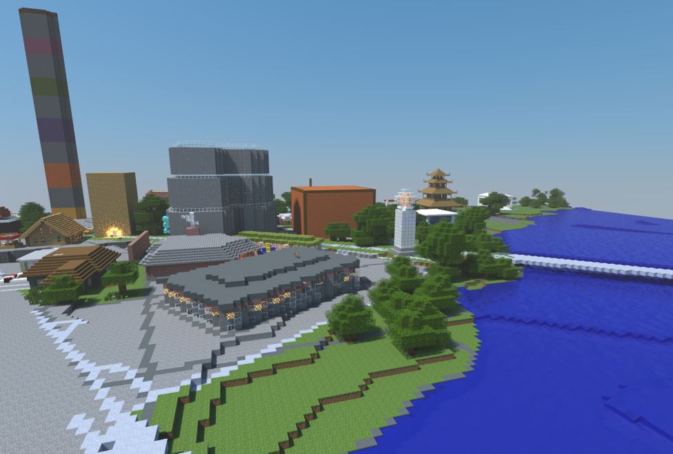
- Ulf Månsson, senior project manager and partner manager at SWECO. He will present 3D gaming initiatives that incorporate GIS into Minecraft to engage citizens and promote learning.
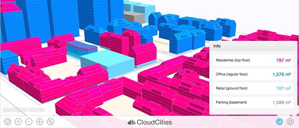
- Joseph Minicozzi, AICP and principal of the econometric consulting firm Urban3. He will discuss how 3D visualization is enhancing geodesign and helping cities make smarter economic decisions in the face of dwindling resources.
- Nathan Brigmon of Civic Analytics. He will describe how Esri CityEngine is being used to help illustrate proposed changes to urban rail networks in Austin, Texas.
- Antje Kunze, co-founder and CEO of SmarterBetterCities. He will discuss a smart zoning app that helps cities use 3D to drive decision making within complex regulatory and analytical processes.
- Donna Delparte, assistant professor at Idaho State University in the Department of Geosciences. She will present work that integrates historical information and planning data to compare past, present, and future scenarios for the Portneuf River in Pocatello, Idaho, which currently flows through a concrete channel through the city.
“Geodesign lets us consider all the character of nature and the beauty of our environment, and integrate it into our design processes,” said Dangermond. “The additional of 3D visualization and design tools and techniques gives us the opportunity to make these design decisions in a much more realistic manner—in 3D, which is how we actually see and experience the real world.”
Join us at the 2015 Geodesign Summit and learn more about how 3d visualization and design can help us to better understand our world.
—–
Geodesign Summit
When: January 22-23, 2015
Where: Esri headquarters, Redlands, California
Follow us on Twitter: @GeodesignSummit