The Esri DevSummit fires up day two in Palm Springs. You can follow along on Twitter with the #DevSummit tags or check out our Flickr photos throughout the week. Here’s a brief recap of the action from day two (March 26):
The man, the myth, the UX legend

Fast forward to today’s keynote speech where Jarred Spool, founder of User Interface Engineering, the largest usability research organization of its kind in the world, brings his wisdom to the big stage. Attendees will take away Spool’s five styles of decision-making to advance their own creations.
Mobile, tablets, and international Esri distributors…oh my

The international distributors gather at the DevSummit to collaborate on ways to extend the ArcGIS platform across all devices in their markets. Joined by Plenary sensation, Pedro Torres, Marketing Director, Esri España
Gotta have your afternoon code snack

One of the RideAmigos, who are pioneering location-based apps to help people travel smarter, takes a moment to refuel from one the over 30 GIS for mobile tech sessions. This year’s DevSummit includes more than 111 awe inspiring tech sessions for geogeeks, here, there and everywhere.
Dropping native app knowledge

You wanted to know what the latest ArcGIS Runtime SDKs tools are available for your coding enjoyment? You got it at the morning Plenary session. Catch the latest updates from Will’s tweet stream.
What could your app do if it knew where it was?

The DevSummit brought it’s own version of madness to the demo theaters as Aaron Parecki from the Esri Portland R&D Center provided a packed house with the latest Esri tools for geocoding and place search, directions and routing, and how to store and query geographic data in feature services for your next app. Which can now all be found on one site, in one place at developers.arcgis.com. Live by the code.
Team Blue Raster in the house
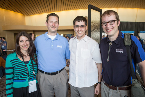
DevSummit Silver sponsor Blue Raster presented both a lightning talk and user presentation before they get down to real business at the dodgeball tournament. Partnering with the World Resources Institute, Blue Raster has developed an innovative tool to map the health of the southern forests of the United States, showcasing the ArcGIS Server Flex API application.
For your viewing enjoyment
[iframe width=”480″ height=”270″ src=http://video.esri.com/iframe/2212/000000/width/480/0/00:00:00 frameborder=”0″ scrolling=”no””]
It’s like going to your very own geogeek cinema. Videos of the DevSummit Plenary sessions have been uploaded to the Esri video channel.
The I am GIS card of the day