Geography has at least one thing in common with other disciplines: it has become fragmented. As our world has become more complex, science has responded by becoming narrowly focused. Thousands of very smart people are making remarkable discoveries in their own disciplines. But who is looking at the big picture?
It’s only logical. When life gets complicated, we often tend to focus on the little things. It helps us deal with being overwhelmed. But at some point we need to take a step back and realize that we can’t understand an entire forest if we’re addressing issues one tree at a time.
We’ve done an admirable job examining and understanding a multitude of component pieces that make our planet work. Now our grand challenge is to integrate all this knowledge so we can understand the “big picture.”
How do we put all of the pieces back together again so that we can understand the whole? How do we defragment geography?
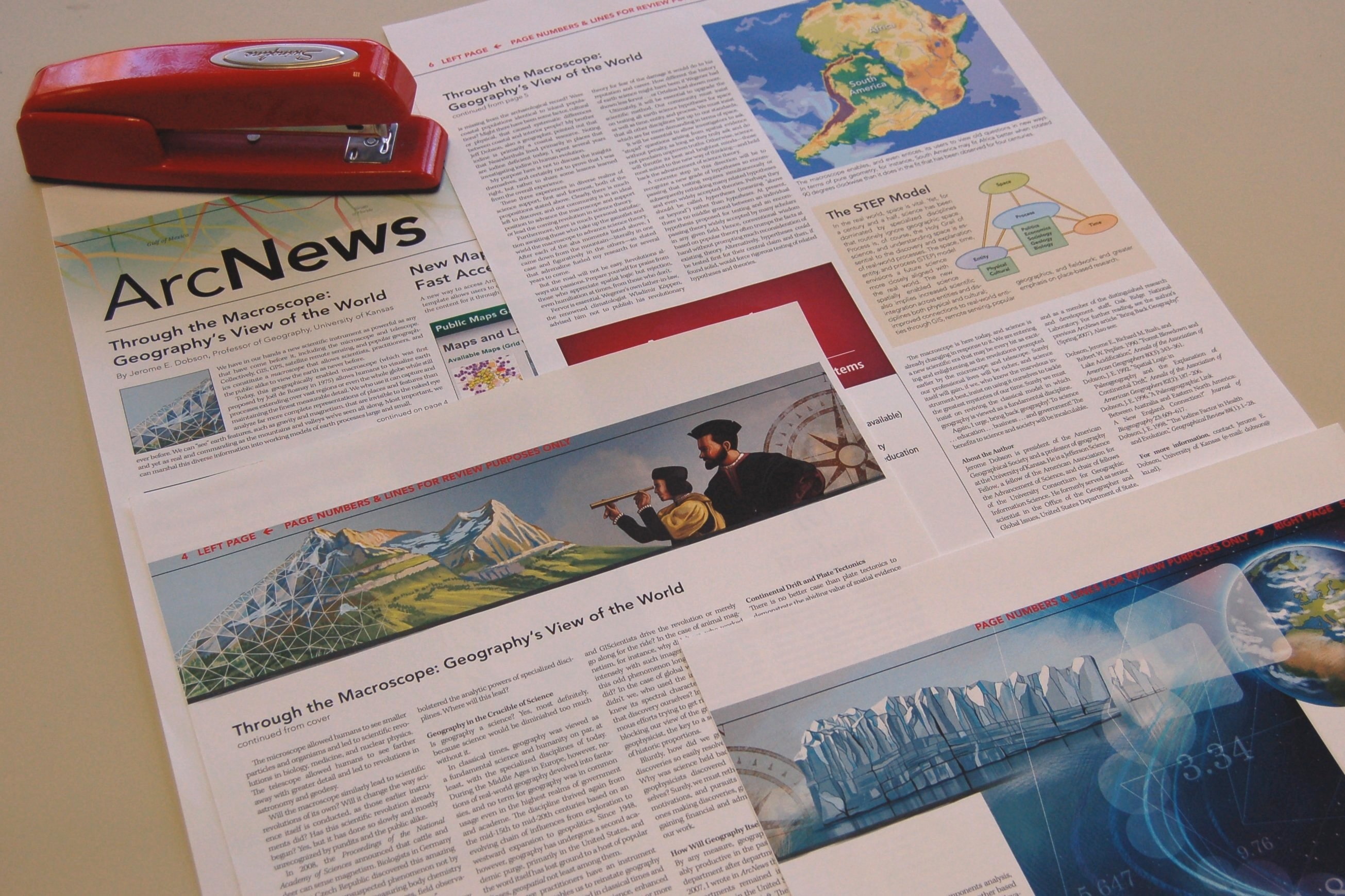
In the upcoming Winter 2011/2012 issue of ArcNews, Jerry Dobson suggests that we already have the ideal tool for the job: the macroscope.

Citing the work of Joël de Rosnay, an early proponent of systems thinking, Dobson argues that the future of geography is something called “the macroscope”—a framework for assembling large amounts of environmental and human knowledge so that we can get a truly geographic understanding of our world.
“We have in our hands a new scientific instrument as powerful as any that have come before it, including the microscope and the telescope. Collectively, GIS, GPS, satellite remote sensing, and popular geographics constitute a macroscope that allows scientists, practitioners, and the public alike to view the earth as never before.”
Geospatial technologies are the unifying force that can bring together fragmented data and disciplines into a common framework. Collating and combining all the little discoveries is the next scientific frontier. It’s where the next big discoveries will be made—by enticing people to view old questions in new ways—and dramatic new insights are likely to result from this.
“This geographically enabled macroscope … allows humans to visualize earth processes extending over vast regions or even the whole globe while still maintaining the finest measurable detail,” says Dobson. “Clearly, there is much left to discover, and our community is in an ideal position to advance the macroscope and support or lead the coming revolution in science theory.”
“The macroscope is here today, and science is already changing in response to it. We are entering a new scientific era that may be every bit as exciting and enlightening as the revolutions prompted earlier by the microscope and telescope. Surely our professional lives will be richer, and science itself will gain, if we, who know the marvelous instrument best, insist on using it ourselves to tackle the greatest mysteries of our time.”
Dobson’s article “The Macroscope: Geography’s View of the World” will appear in the Winter 2011/2012 issue of ArcNews. If you are an ArcNews subscriber in the United States, you should receive your copy in the mail on or around December 23rd, 2011. The Winter 2011/2012 issue will be available online the following week.
(Update, 27 December 2011: Dobson’s article in now available online here.)
