Knowledge is power. Does your utility have enough of the right spatial intelligence?
“More information is always better than less.” — Simon Sinek, Author
Sinek would never agree that “less is more.” The author went on to describe the value of more information: “When people know the reason things are happening, even if it’s bad news, they can adjust their expectations and react accordingly,” Sinek stated. “Keeping people in the dark only serves to stir negative emotions.”
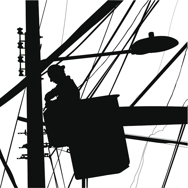
When I worked for a power company, it was my job to make sure people were not in the dark—literally. When people were out of power, we figured out why: A snow storm had drizzled ice on the power lines. Or some drunk had crashed into a utility pole. Or else some stupid (now dead) squirrel had climbed onto the lines and forgotten that his tail was a very nice conductor.
Yet when people called the power company’s call center, the customer service representatives on the other end often kept callers in the dark—figuratively and literally. The reason was, and often still is, because the industry can’t always answer the question, “When will my lights be back on?”
Why is that? It’s because the utilities themselves don’t have enough information.
Less Information Is Never More
Someone in the power company might have a pretty good answer. And eventually, the power company will have the answer. But when the customer calls, the power company just doesn’t have the right processes in place to access the right information right away. In cases of widespread power failure, they need to get lots of information and fast. They have some information. Advance Metering Infrastructure (AMI), for instance, can link to Advanced Distribution Management System (ADMS) to paint a pretty clear picture of how many customers are out of power and where they are. However, the utility still can’t answer that simple yet profound question: “When will my lights be back on?”
To answer that question, the power company needs to know four critical facts:
- Number of repair jobs
- Extent of damage
- Damage locations
- Number of crews available to work
If the power company has that information, then that poor stressed call center representative could provide the customer an answer. Instead, customers have gotten used to responses like, “Sir, we are working as hard as we can to get your power back,” or more vaguely, “There are crews in your neighborhood.”
Assessing the Damage
During outage events, power companies have to do damage assessment. They need to answer two key questions:
- What’s the damage?
- Where’s the damage?
To apply Sinek’s philosophy, the more information about the damage, the better. Sinek may also agree that the faster they get that information, the better.
But what to do once you have it?
Making Sense of Big Data
The trick to analyzing a lot of information coming in from many sources is to have a common framework to help you figure out what’s going on. You could get a phone call from a taxi driver saying that she heard a loud bang or saw a flash before the lights went out. Or you could have a customer tweet about a tree hitting a wire line. Or perhaps someone photographs a broken pole on a cell phone. The common denominator for all this information is location. Location could unlock a critical pattern. For instance, what if all these pieces of information have the same location stamp? Then the loud bang and flash, the tweeted tree, and the broken pole photo point to a single event. You send one crew and fix it. If they speak to different events, you can still track and dispatch crews for efficient repairs.
That’s where field deployment of GIS comes in. GIS is a platform designed to apply information from many sources. After organizing information by its location components, the GIS lets you analyze that information and figure out where the nearest crew is or how close the damage is to critical infrastructure. That’s just two instances. The GIS provides a simple, powerful road-map (pun intended) to knowing how many repair jobs the crews have to do and where they are.
Most utilities have deployed GIS today, but they limit its use to a centralized system. That’s changing. Innovative utilities have started realizing the full potential of GIS-based operations. They are deploying simple location apps on mobile devices, which communicate targeted information from the field back to decision makers in the office. They can share, communicate, and collaborate faster and more accurately. These utilities are able to provide field workers with critical answers on their mobile devices. And they have an answer to that simple question, “When will I come out of the dark?”
—–
For proven solutions in managing electric loads, click here.
