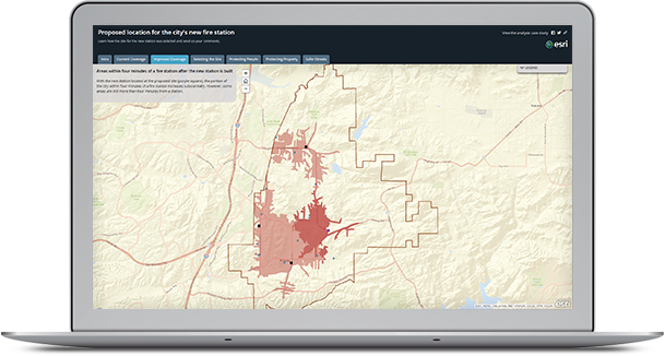
Some problems demand you go beyond exploring the data into quantifying relationships or formally testing hypotheses. This is where modeling comes in. Spatial modeling allows you to derive new data from values of existing data layers and to predict what might happen and where. Modeling often takes you into the realm of developing specialized workflows through programming. Creating scripts and automated workflows lets you efficiently query and process large amounts of data and implement more complex algorithms. Increasingly, the value of sharing methods and code through the web allows you to create complex workflows without the need to develop all the components. Knowledge is being shared by putting the real power of spatial analysis into the hands of more people.
Modeling Processes
With an understanding of the processes at work in the natural or human environment, additional features can be modelled from spatial data. Using an elevation surface, for example, you can derive information and identify features that were not readily apparent in the original surface, such as contours, angle of slope, steepest downslope direction (aspect), shaded relief (hillshade), and visible areas (viewsheds). You can model the flow of water across Earth’s surface, deriving runoff characteristics, understanding drainage systems, and creating watersheds.

Interpolating Values
Rarely is it possible to gather data for all locations continuously; there is invariably a spatial or temporal scale beyond which the data is unknown. GIS allows you to predict values at unsampled sites from measurements made at point locations within the same area.

Modeling Spatial Interaction
Spatial interaction models are used to estimate the flow of people, material, or information between locations. These models consider the attractiveness of a place (that is, some measure of why you want to go there) and the cost of travel (either financial or time cost) to get there. The measures are used to calculate the proportion of demand at each place.
—–
This post is excerpted from The ArcGIS Book: 10 Big Ideas about Applying Geography to Your World. The twin goals of this book are to open your eyes to what is now possible with Web GIS, and then spur you into action by putting the technology and deep data resources in your hands. The book is available through Amazon.com and other booksellers, and is also available at www.TheArcGISBook.com for free.
