I recently co-presented a session on GIS and the Smart Grid to a group of about 150 folks from the gas and electric utilities and the telecommunications businesses. We thought it might be interesting to have the groups come together since as more and more utilities implement Smart Grid (electric and gas), there will become greater interdependencies on one another. We further thought that this session would be a great opportunity for each company to tell us their current practices on sharing data, problems and issues. The premise was, of course, that since ArcGIS is a platform which facilitates sharing of information, that both groups could give us feedback on how best to facilitate collaboration. Much to our surprise, the groups do not have much collaboration at all. In fact, they hadn’t really considered it very seriously. When I probed them further, I asked, well how do you share information with each other? One utility guy, perhaps, half-jokingly said that he bought his friend from the phone company a beer and that’s when they shared information.
The biggest take away from this session was this: the discussion on this topic hasn’t really started. It should.
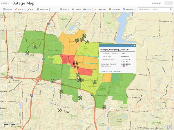
Gas, electric and telecommunications companies also do damage assessment quite independently. Wouldn’t it make sense to share their damage assessments (using ArcGIS of course) with one another? If a tree takes down a pole line, this event is likely impacting both the electric company and the telecommunications company. A gas main fire certainly will impact the electric and telecommunications companies. Sure the folks from the gas, electric and phone companies can call each other or share a beer, but an automated system of collaboration would save a lot of time In fact, the companies would benefit from sharing and consuming data from first responders and other emergency agencies. Wouldn’t the electric, gas and the telecommunications companies benefit from finding out about flooded roads, bridges out, wild fires, shelters open or closed, debris in the road or even crazy people shooting guns?
ArcGIS is a platform for change and transformation. Crafting a sharing framework among electric, gas and telecommunications (and water, public works, transit) companies and many other agencies would transform the way these organizations respond to emergencies and even some routine matters.
insider
