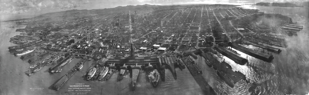
Humans have always sought the high vantage point above the landscape. Throughout history, whether from a treetop or a mountain peak or a rocky cliff, the view from above allowed our ancestors to answer important questions: Where is there water? Where is the best hunting ground? Where are my enemies? Aerial photography was first practiced by balloonist Gaspard-Félix Tournachon in 1858 over Paris. With the advent of both photography and practical air flight in the early twentieth century, the advantages of having the high ground led to a quantum shift forward and the field of remote sensing was born.
The technology came of age rapidly during World War I as a superior new military capability. From 1914 to 1918, aerial reconnaissance evolved from basically nothing to a rigorous, complex science. Many of the remote sensing procedures, methods, and terminology still in use today had their origins in this period. Throughout World War II the science and accuracy of remote sensing increased.

Capturing history: How remotely sensed images document stark truths
The first aerial photograph was taken in 1858, a century before the term “remote sensing” came into existence. Long before satellites and digital image capture became available, people were taking pictures of the earth’s surface from afar, documenting many crucial moments in history for posterity.


—–
This post is excerpted from The ArcGIS Imagery Book: New View, New Vision. Imagery is suddenly a big deal, and those who are adept at finding it, analyzing it, and understanding what it actually means are going to be in demand in the years ahead. The purpose of this book is to help everyone from GIS professionals to app developers, and web designers to virtually anyone how to become smarter, more skillful, and more powerful appliers of image data. The book is available through Amazon.com and other booksellers, and is also available at http://www.TheArcGISImageryBook.com for free.
