displaying 882 results
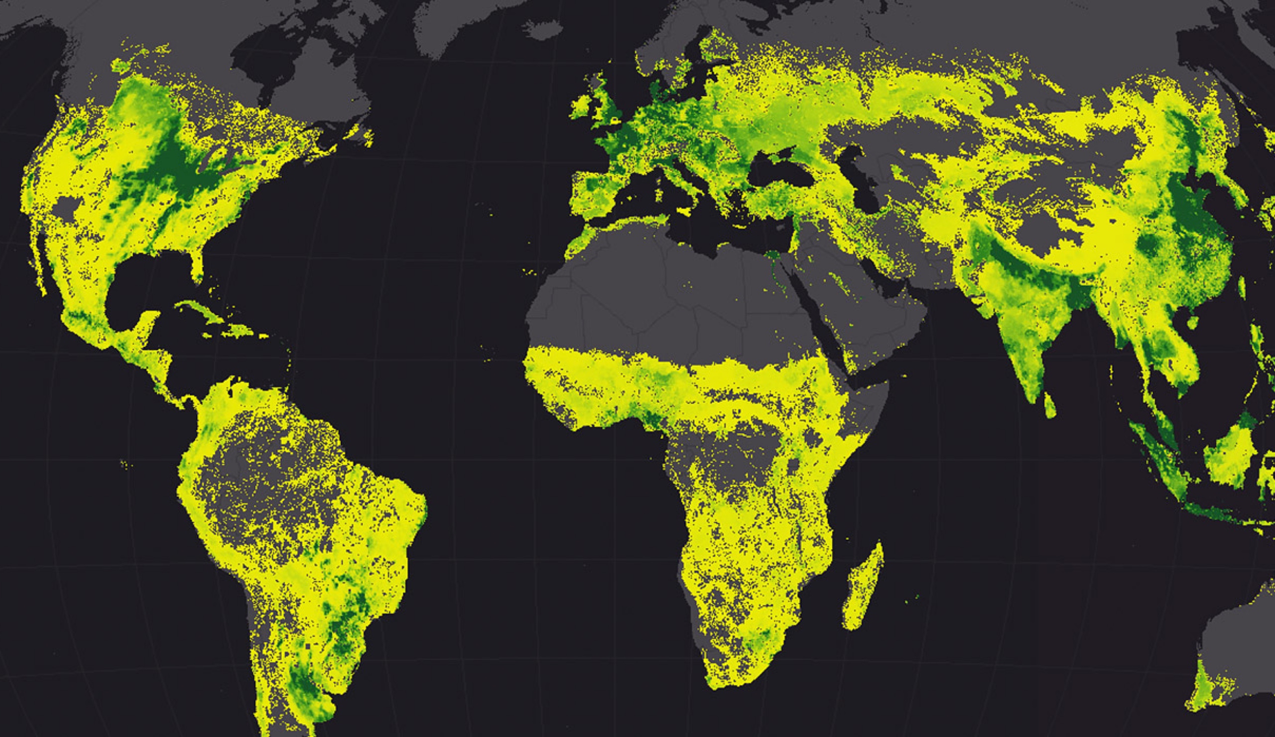
Government officials must use geodesign approaches to make their cities resilient and sustainable.
Smart mapping capabilities in ArcGIS Online and Portal for ArcGIS can be used in the custom web apps that you develop.
You can use Scene Viewer in ArcGIS Online to style and configure point clouds right in your browser, utilizing smart mapping drawing styles...
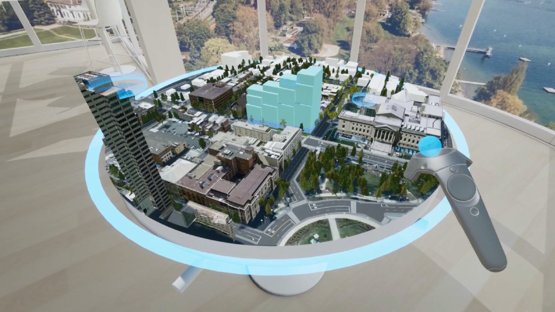
Leaders use realistic cityscapes to make decisions, collaborate, and improve quality of life.
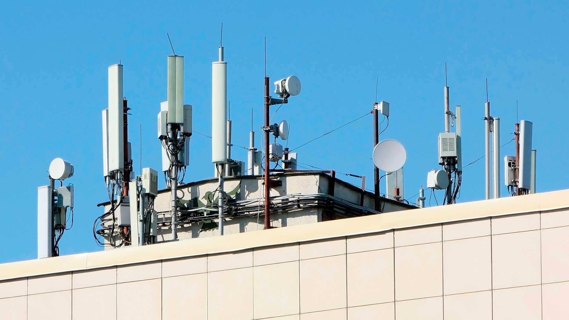
Humans have never been more connected, and our modern maps are a key connector.
Drone landing pads, ride share areas, and other lucrative uses of real estate await property owners willing to think creatively.
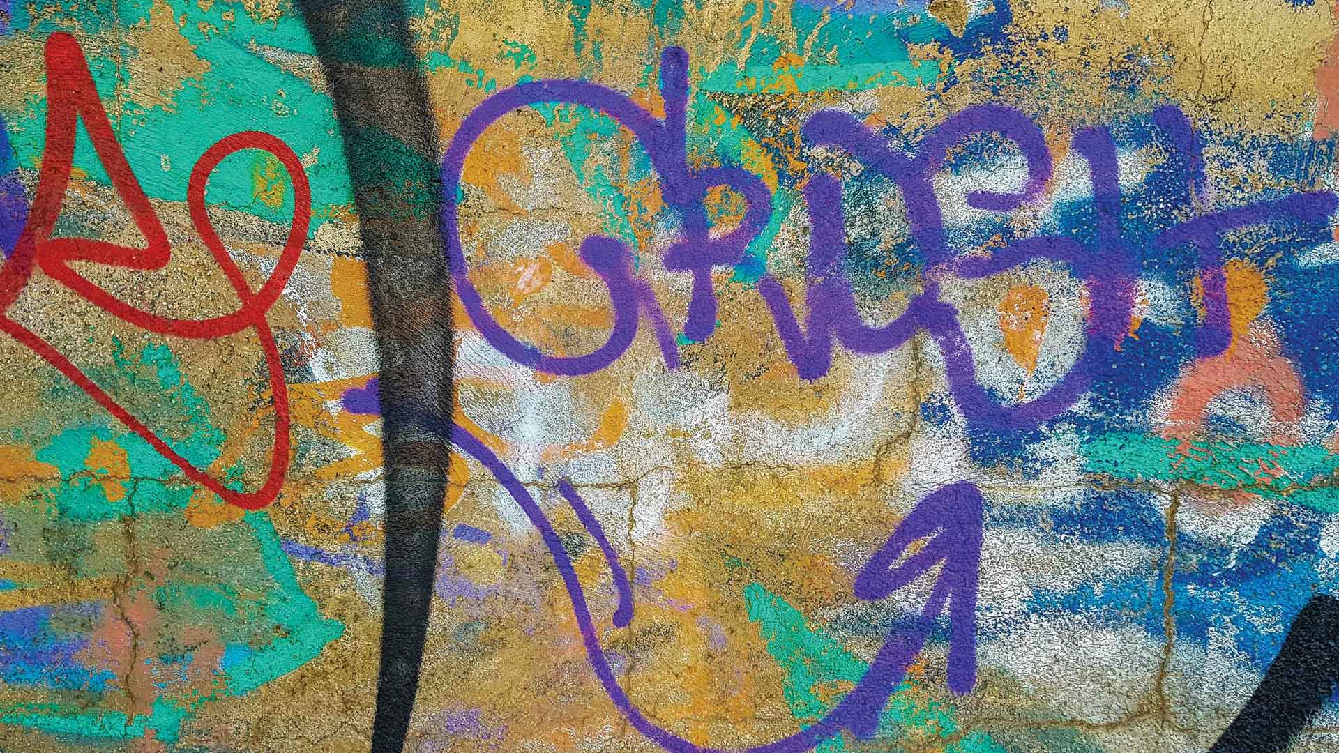
City staff now receive imagery of possible graffiti before they go out looking for it, helping them track and abate graffiti hot spots.
The workbook Getting to Know Web GIS from Esri will teach you how to use the ArcGIS platform to build web mapping apps quickly.
The Geodesign Summit held January 23–25, 2018 focused on creating more resilient, livable communities using geodesign.
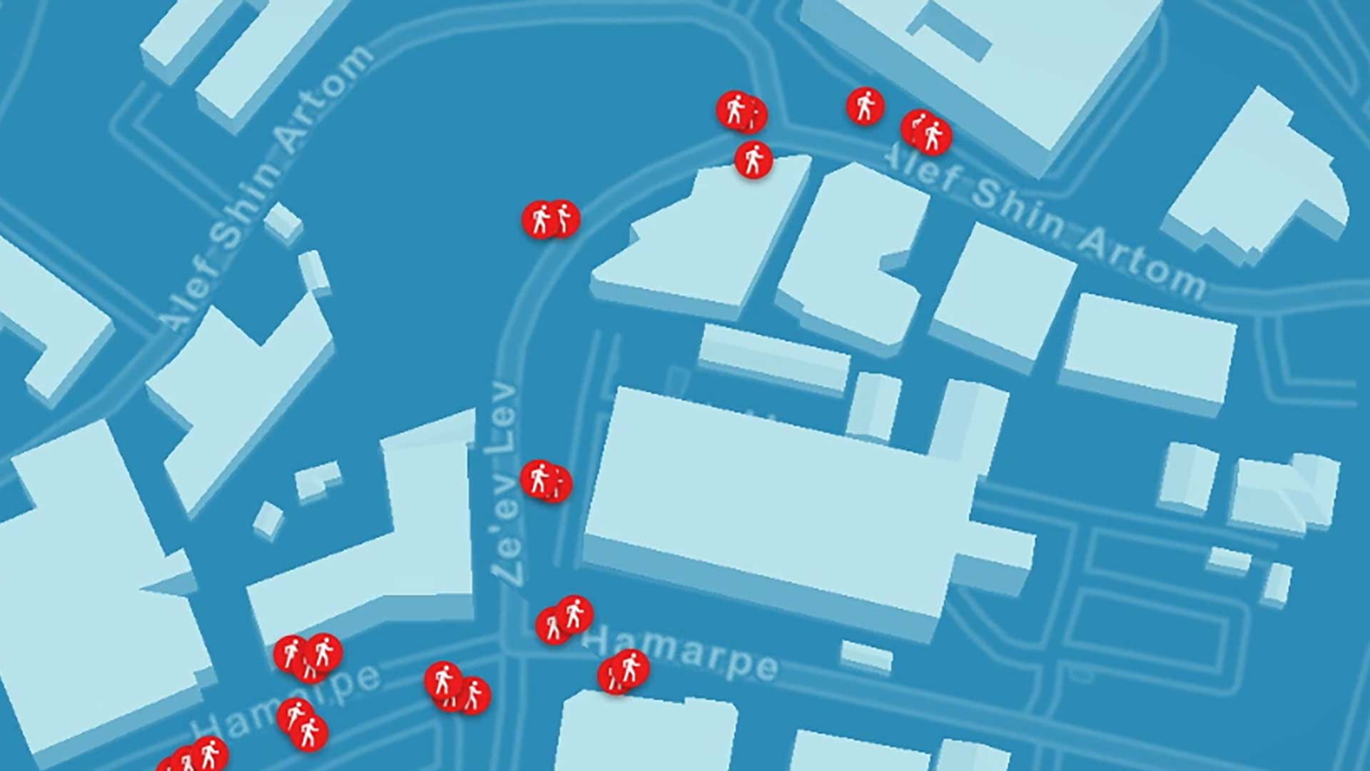
The spatial analysis capabilities in Esri’s software is used on the data collected by Mobileye's image recongition software.