displaying 294 results
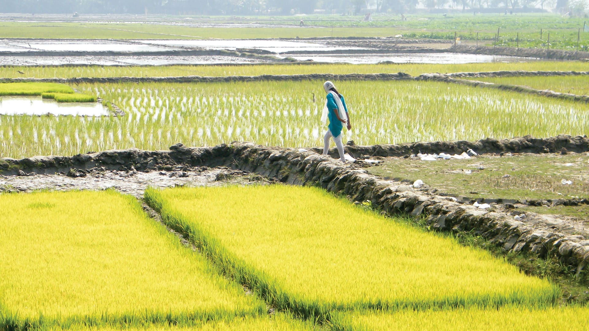
The new Agri-GIS app is bridging the spatial analytics gap in Indian farming communities.
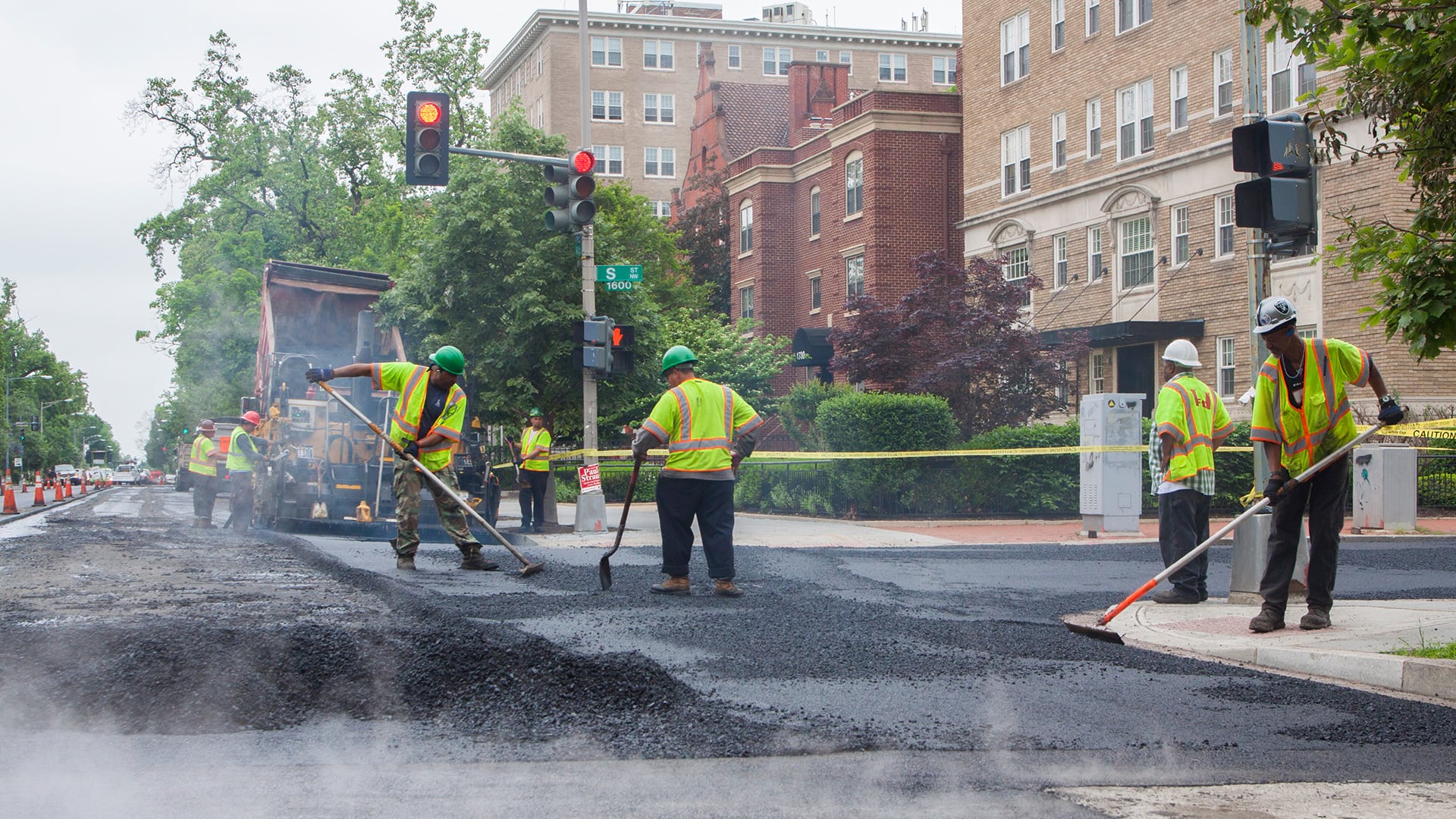
The PaveDC Paving Plan helped the DDOT pave more than 100 miles of roadway in 2019—the most it had ever completed in a year.
The latest release of ArcGIS is big. Get to know what’s new.
Geospatial Semester, a project-based class that helps high school seniors prepare for higher education or work, has shown that kids will flouris…

Coral Gables, Florida, used ArcGIS Hub to launch an open data site to improve access to city data and services and advance key initiatives.
Accidents happen, with more than six million crashes occurring annually on roads in the United States.

At the 2018 Esri Developer Summit, attendees got to interact with new Esri technology and build important relationships.
An introduction to spatial statistics and an introduction to using geospatial data and location intelligence to solve many problems.
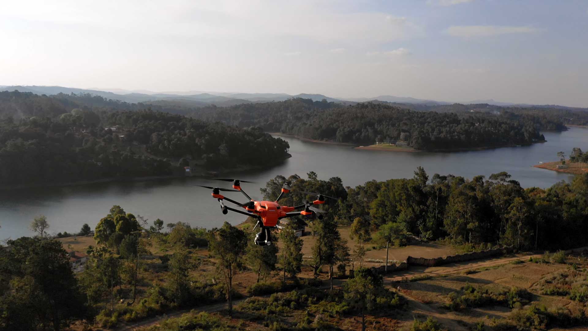
United Nations (UN) World Food Programme (WFP) uses drones and AI to speed aid to flood victims.

A team of university researchers used high-resolution imagery, ArcGIS, and R to find habitat necessary for the survival of pikas

Esri joined Digital Twin Consortium, Esri certified SAP HANA Cloud, Esri committed to accessibility standards;

Table of Contents | Geography and GI are both predicated on discovering connections in space and time to better understand of our world.