displaying 395 results

Esri acquired Zibumi; Inc. magazine’s honors Esri with gold medal; Africa GeoPortal support geospatial use.
Learn why using ArcGIS StoryMaps is a great way to showcase your work.

Esri is actively involved in a multitude of climate-related activities, including massive online open courses.

With humanity at an inflection point, we must choose to stand up and create a sustainable future.
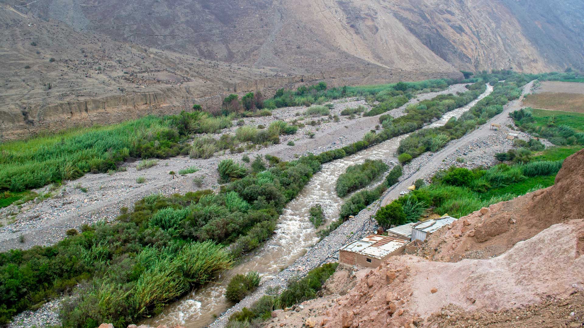
GIS-based 3D models are helping the Peruvian government rebuild public infrastructure after widespread flooding and plan for the future.

The International Cartographic Conference united cartographers, GIScientists, and mapping enthusiasts to discuss the future of cartography.
By using established metrics and the latest geospatial technology to monitor progress, it is possible to curtail biodiversity loss.
Christiane Schmullius uses radar remote sensing to explore land surface changes around the world. She also teaches the technology to others.

For more than 60 years, the United States had two definitions of the foot to measure length. That’s not the case anymore.

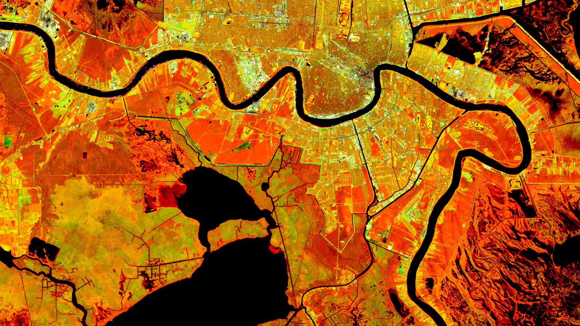
Find out how to access new datasets from NASA and the Sentinel-2 Land-Cover Explorer. Esri is also making open map data more interoperable.
ArcGIS Living Atlas of the World is a collection of curated content you can use to populate a custom basemap gallery. Here's how.