displaying 52 results

Skilled professionals and businesses are flocking to cities. In some locations, this puts them on a collision course with climate change.
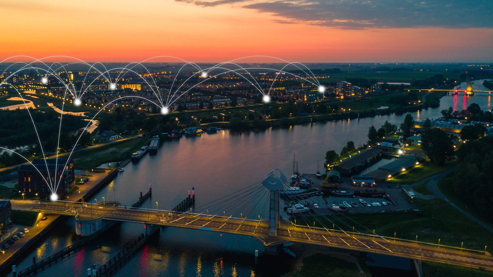
To better understand how climate change is affecting its community, the City of Zwolle is engaging citizens and increasing transparency.

Climate scientist Katharine Hayhoe talks about the importance of changing the conversation about climate change.

Dr. Thomas Crowther from The Crowther Lab talks about how business and government are using technology to address climate change.

Climate expert Katharine Hayhoe discusses how technology can be a means to galvanize public support for climate change solutions.
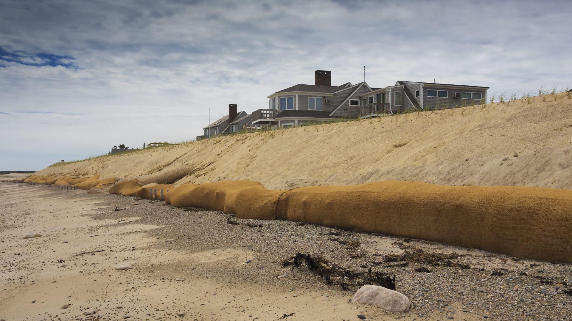
Cape Cod Commission provides data and tools to help the region visualize climate change vulnerabilities and strategize mitigation measures.

The combination of on-the-ground forest plot data from GIS and satellite data provides a whole new vision of the global forest system.
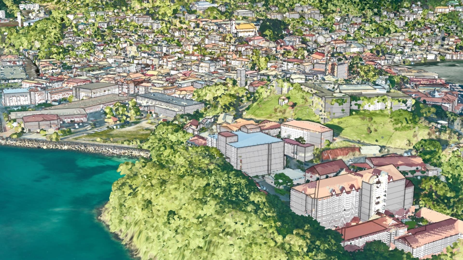
After receiving funds to assess vulnerability, Grenada turned the data into a digital twin to examine all manner of climate impacts.

Historical satellite imagery from the Cold War era proves useful for understanding long-term change and the impacts of climate change.
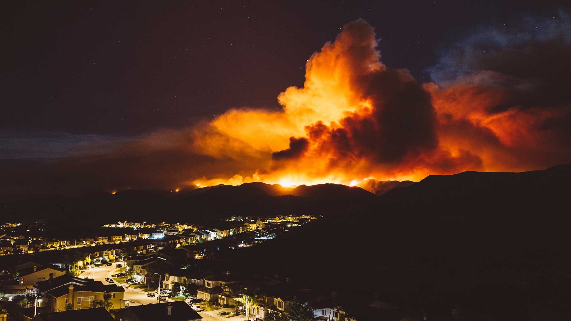
GIS helps mitigate, respond, and recover from the increased threat of wildfires and other adversities exacerbated by climate change.
Meteorologist Dr. Marshall Shepherd discusses how to rationally respond to the global systemic challenges of our time.

Discover how GIS is being used to create more resilient communities, systems, and infrastructure in this MOOC.