displaying 595 results
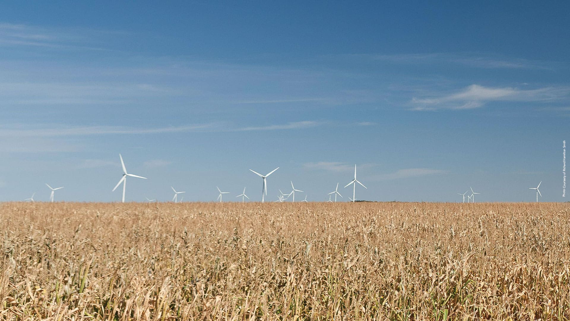
Site Wind Right, from The Nature Conservancy, focuses renewable energy development in optimal places that won’t harm wildlife habitats.
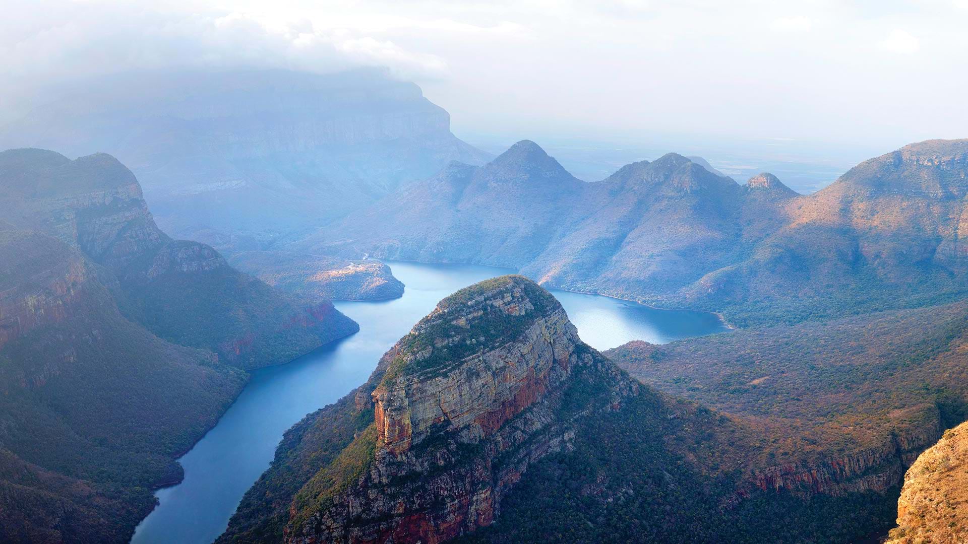
Endangered species in a South Africa province are protected with the help of ArcGIS Survey123 and ArcGIS Field Maps.
Thrive Regional Partnership is using geodesign technology and methodology to plan smartly and sustainably.

Users Showcased Incredible GIS Work at the 2017 Esri User Conference.
Taylor Shellfish Farms of Shelton, Washington, takes The Science of Where to the tidal flats of Puget Sound to sustainably produce...

The ambitious goal of 30x30 requires a reevaluation of places, with an eye on maximizing biodiversity and mitigating carbon emissions.

The natural world is under siege. Join some of the geospatial causes aimed at reducing biodiversity loss and protecting the planet.

With GIS and a green infrastructure model, Richland County, South Carolina, found scientific support for strategic conservation.
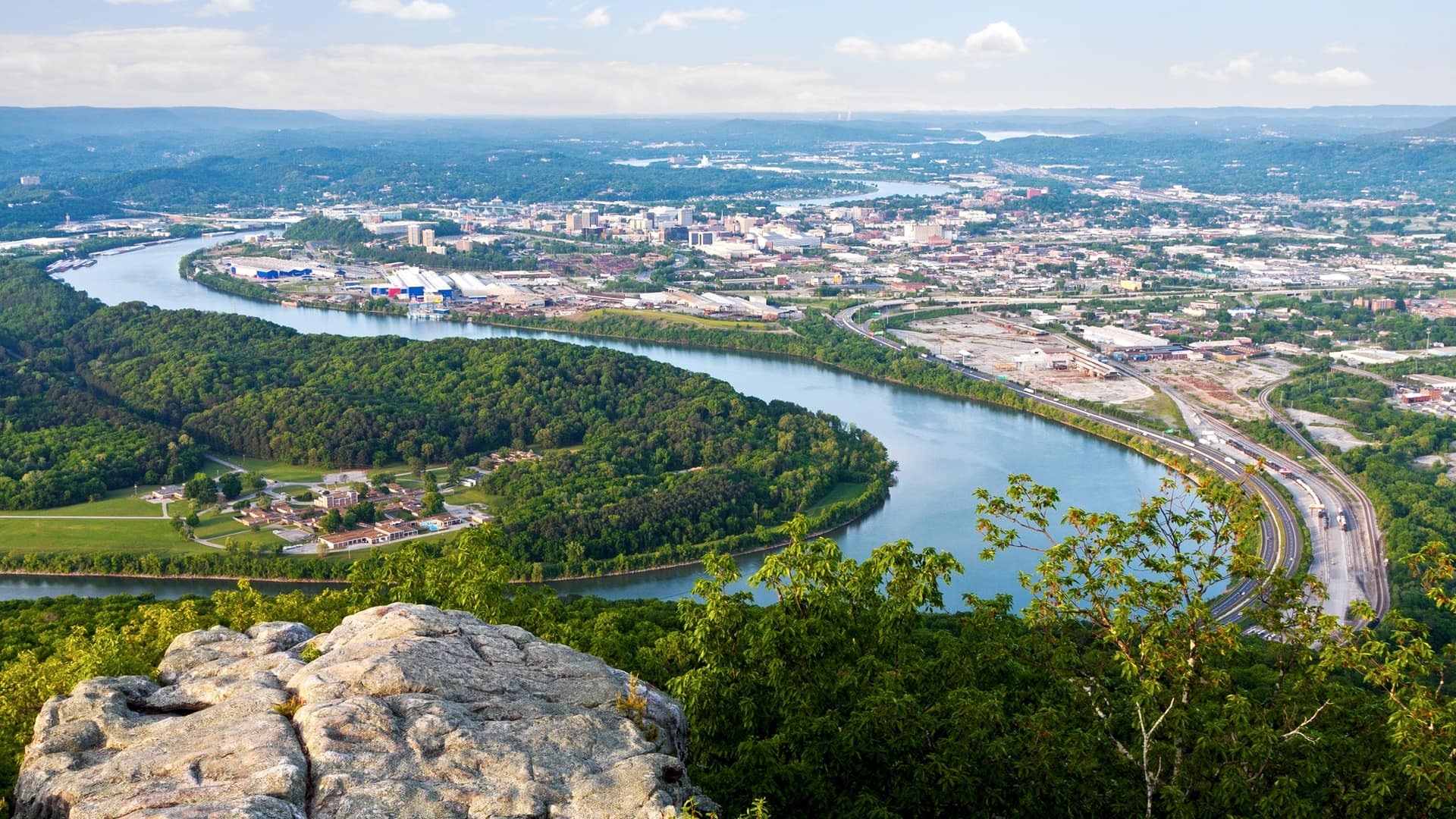
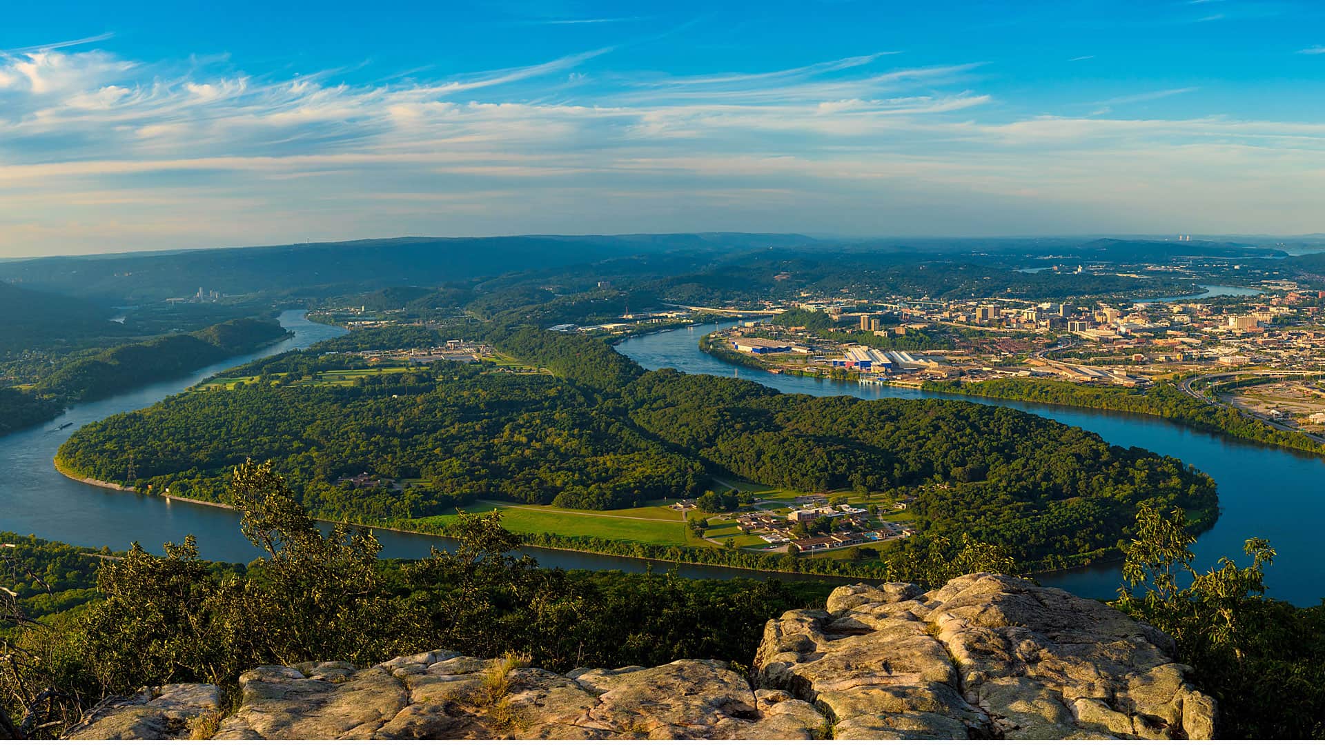
A partnership in Tennessee uses advanced analytics to determine areas in the tri-state, 16-county region around Chattanooga that need protection.
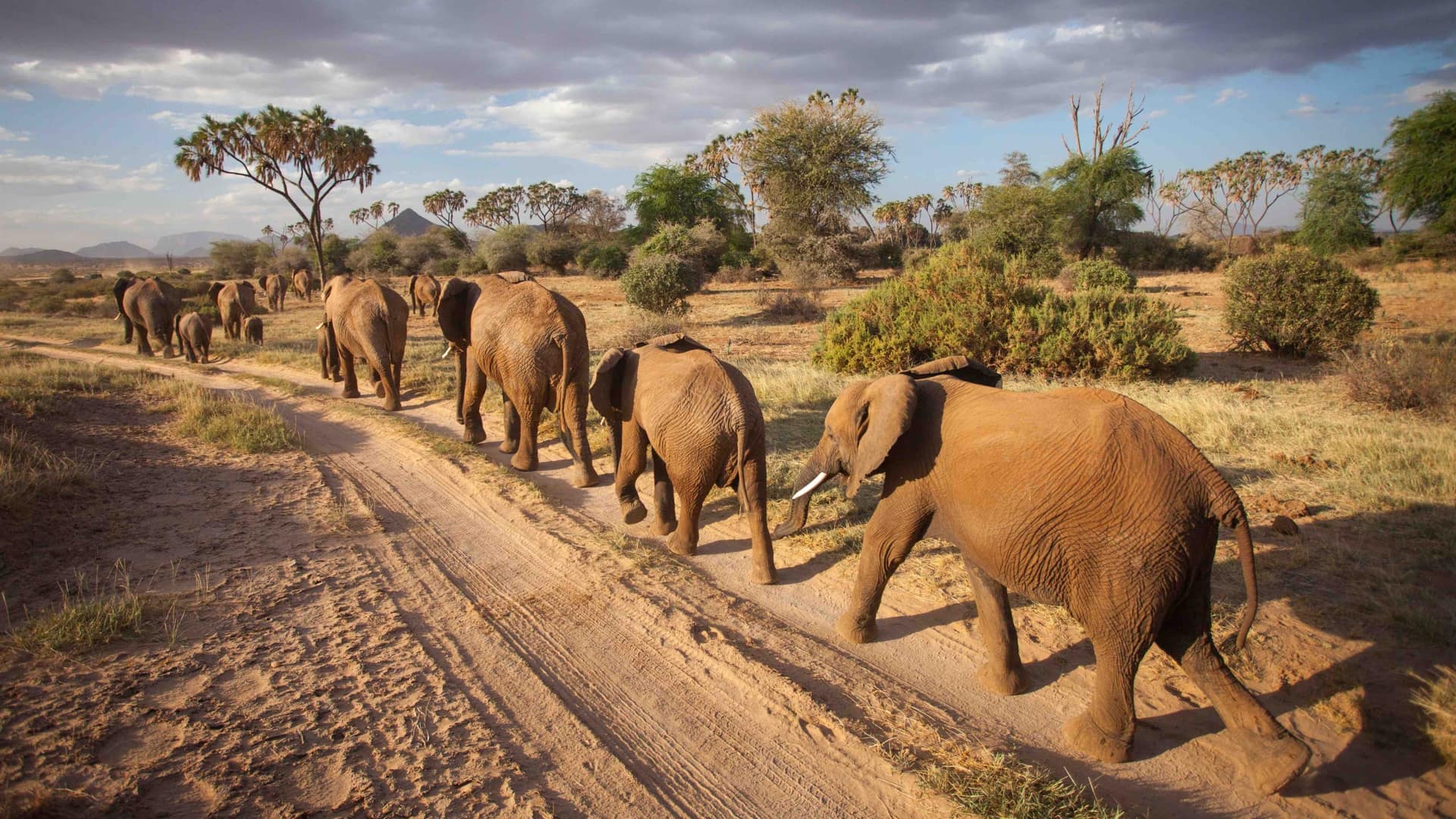
Space for Giants uses GIS to monitor human-wildlife interactions, manage Africa’s protected areas, and evaluate conservation impact.
Resource shortages, population growth, and climate change are just a few of the critical problems facing society today. The solutions will requi…

Preserving biodiversity was the theme of Healy Hamilton's keynote at the 2021 Esri Science Symposium