displaying 262 results

Armed with the understanding that trees and shade improve health, Los Angeles works with partners to plant new trees equitably.

Location intelligence provides insight into patterns of inequality and connects communities around a common understanding to drive change.
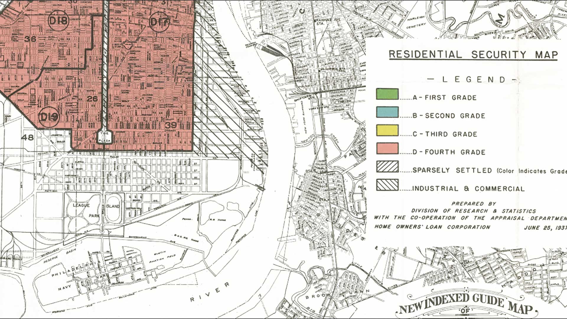
GIS can help governments and organizations discern and address systemic historical racial inequity.

Find out about a new way to analyze social equity initiatives, plus nuanced population change data is now available in ArcGIS.
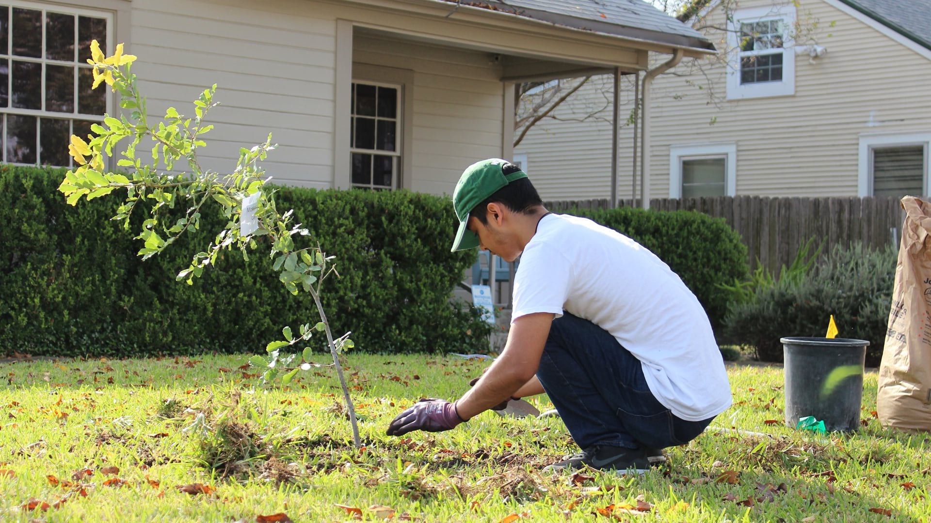
Foresters in Austin used GIS to create a community tree priority map, combining tree inventory and social vulnerability data to prioritize equity
Find out how to get GIS guidance from experts at the Esri UC, see how GIS helps local governments tackle equity issues, and more.

The Trust for Public Land partners with cities nationwide to transform vacant land into parks, always factoring in equity.

Black users of GIS share how geography provides a lens to address inequities, examine their unique perspectives, and take action.

The Trust for Public Land helps guide local park improvement by quantifying inequity and climate impact.
Knowing where people are, has been instrumental in Manuel Pastor’s social advocacy efforts.

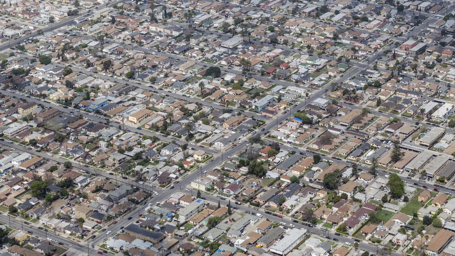
Data science carried out with GIS technology deepens understanding of racial disparities in Los Angeles County.
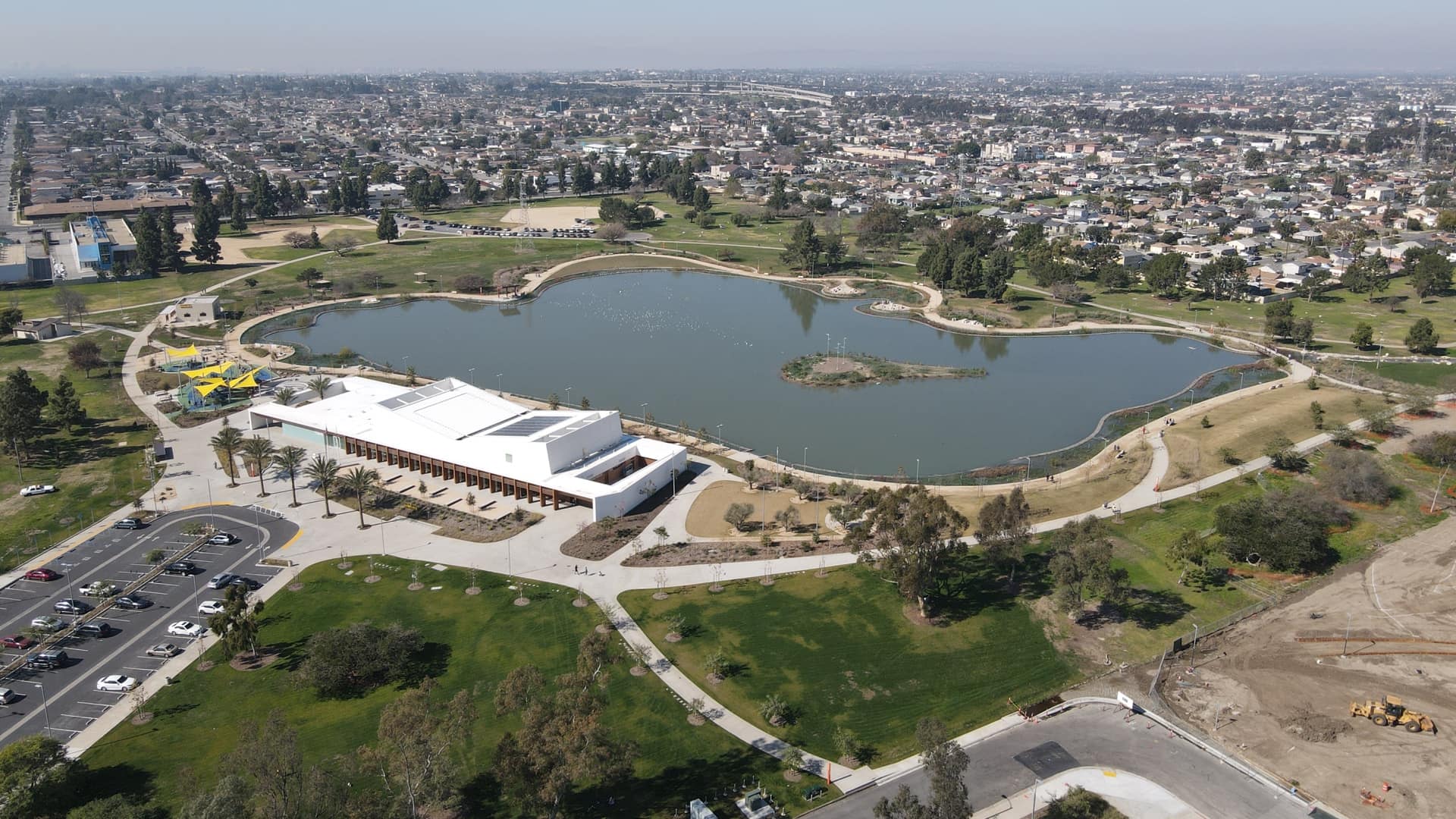
Los Angeles County assessed park and recreational needs to expand access to parks and open space for its most nature-deprived residents.