displaying 1006 results

An extension to ArcGIS Online, ArcGIS Image for ArcGIS Online makes imagery more accessible and more easily managed.
NGA’s Frank Avila talks about his career in imagery science and the future of geospatial intelligence.

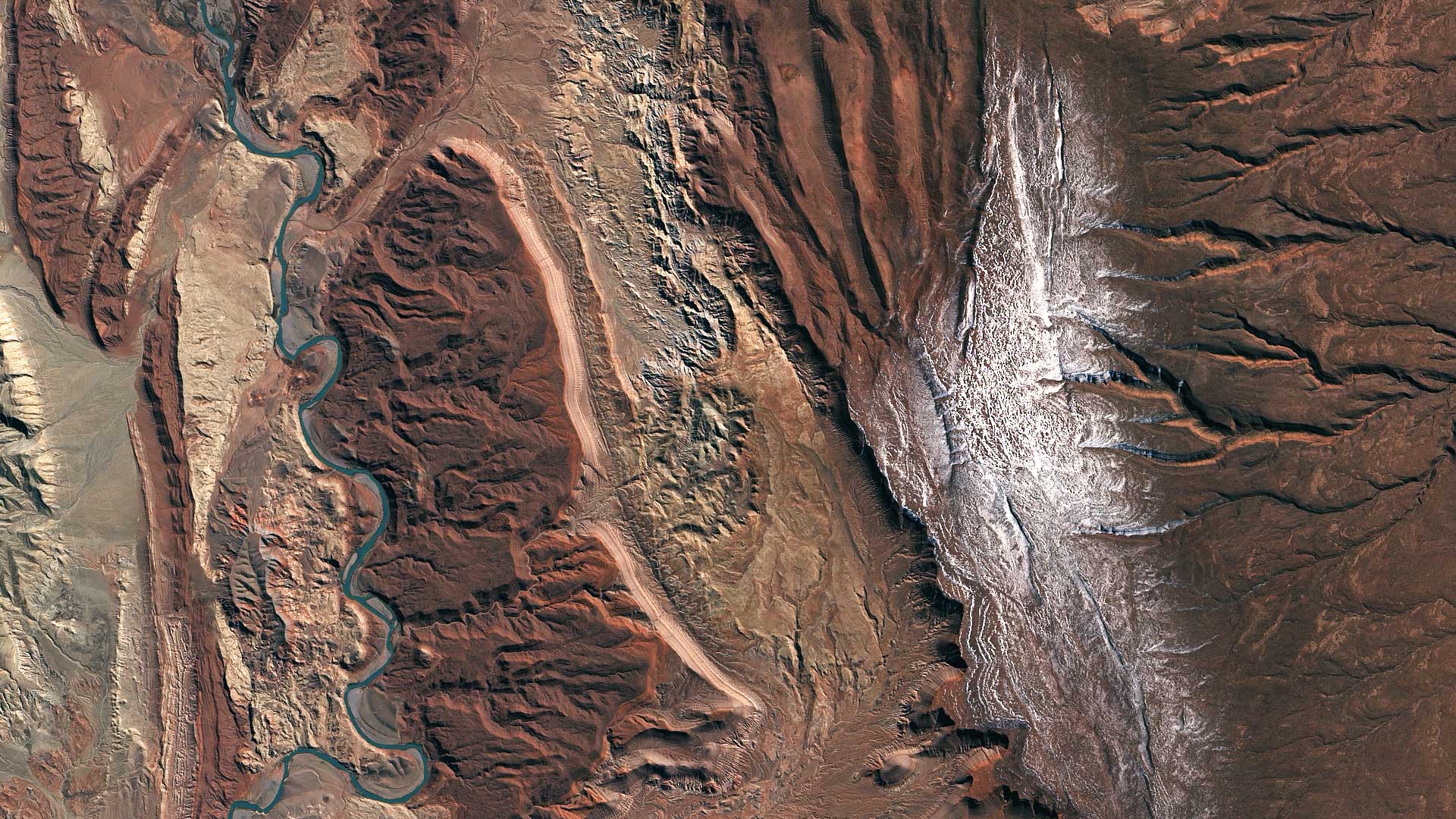
Want a clearer view of the world in your maps? World Imagery Clarity, currently in beta, delivers imagery from the Esri archive...
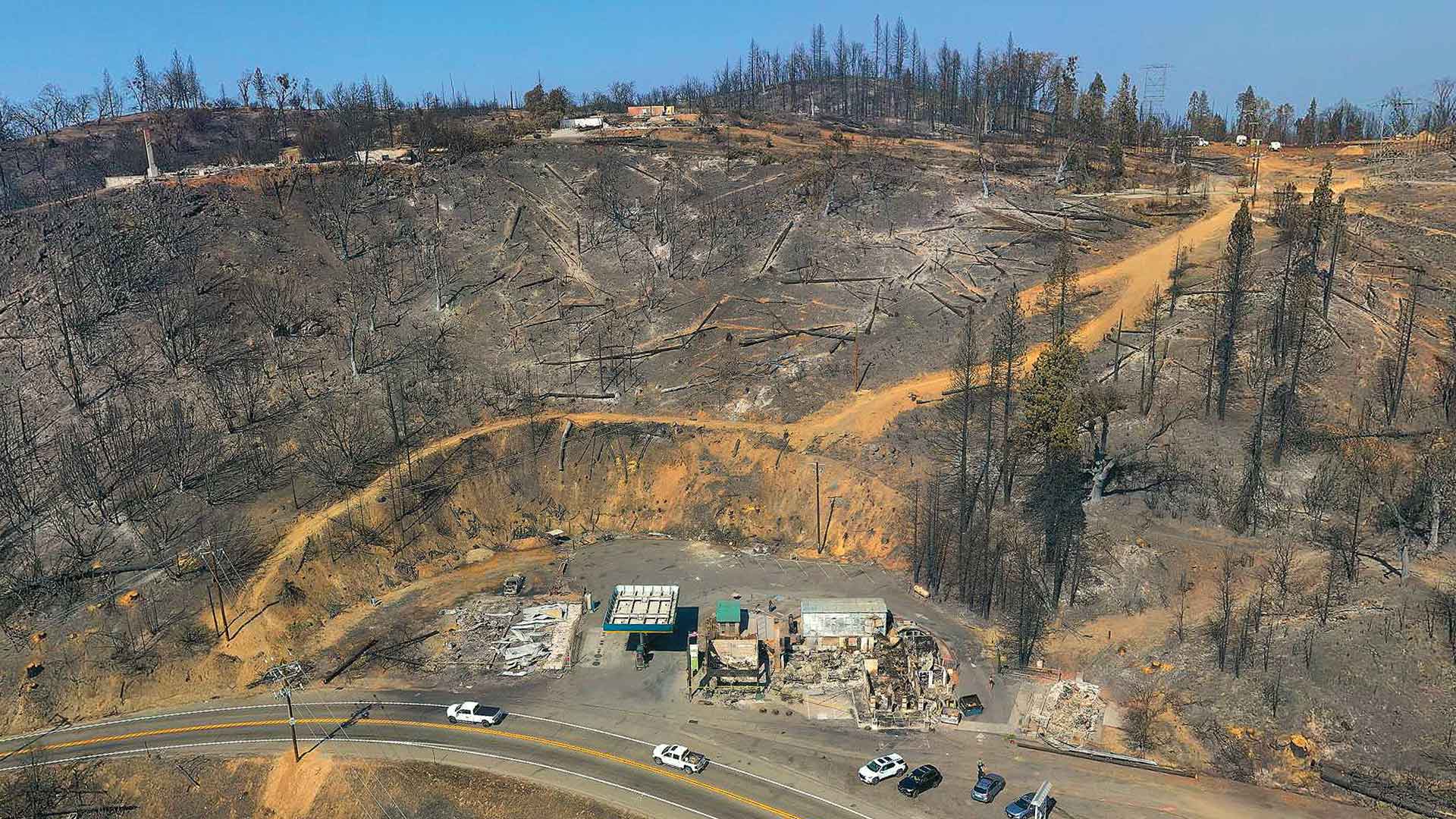
Law enforcement working on California wildfires tasked Esri partner and geospatial consulting firm GeoAcuity with obtaining aerial images.

The South Carolina Air National Guard quickly processed satellite imagery after Hurricane Irene by using GeoImaging Tools for ArcGIS...

To better manage and store imagery and improve change detection analysis, Esri partner Skytec implemented ArcGIS Image for ArcGIS Online.

With ArcGIS Image for ArcGIS Online, staff at the UK’s National Trust can better visualize heritage sites and make more informed decisions.

Imagery unlocks the mysteries of how earth operates. Cloud-native software makes GIS scalable to nearly every kind of image and workflow.
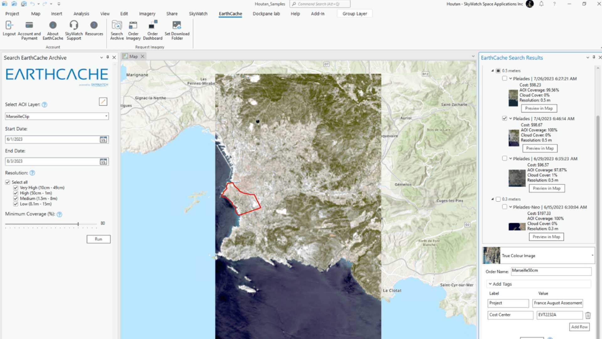
With the introduction of the EarthCache add-in for ArcGIS Pro, SkyWatch’s EarthCache functionality is natively available to ArcGIS Pro users.

Esri’s new MOOC introduces participants to the latest ArcGIS capabilities for working with imagery and remotely sensed data.