displaying 395 results
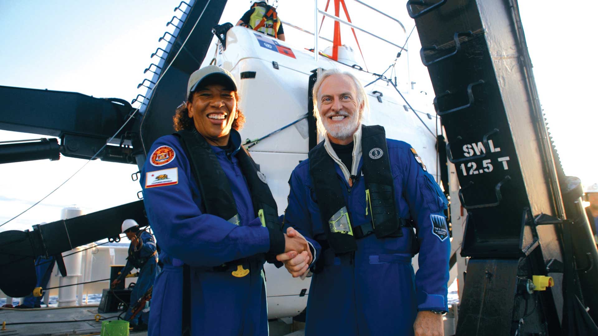
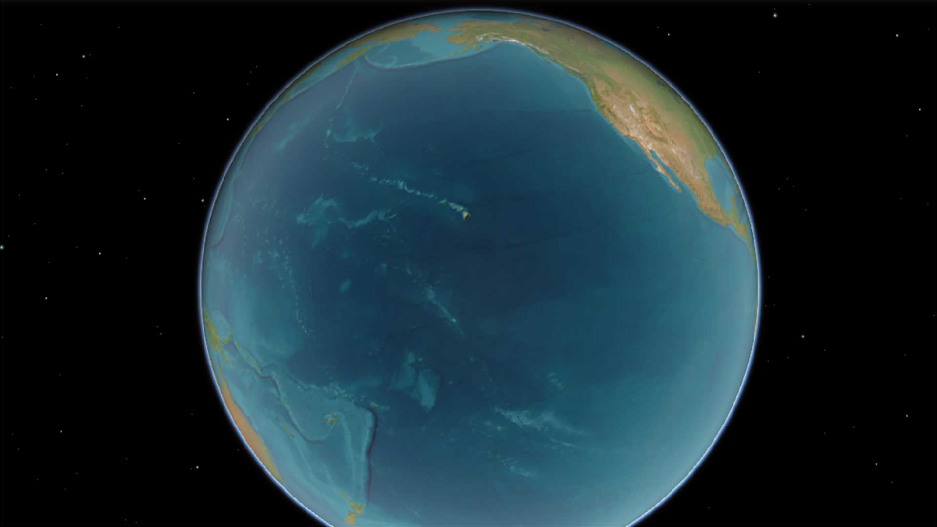
Explorer Victor Vescovo and Esri chief scientist Dawn Wright made an historic trip to to the deepest known point in the Earth’s ocean.
The Shell Ocean Discovery XPRIZE has ushered in a new era of autonomous seafloor mapping.
We need to see that the ocean’s problems are the Earth’s problems—it’s all one interconnected, interdependent world.
Researchers at MaREI have created a freely available tool that will help harness the power of clean, renewable ocean energy.
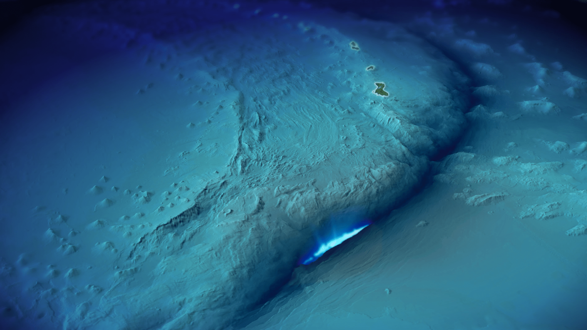
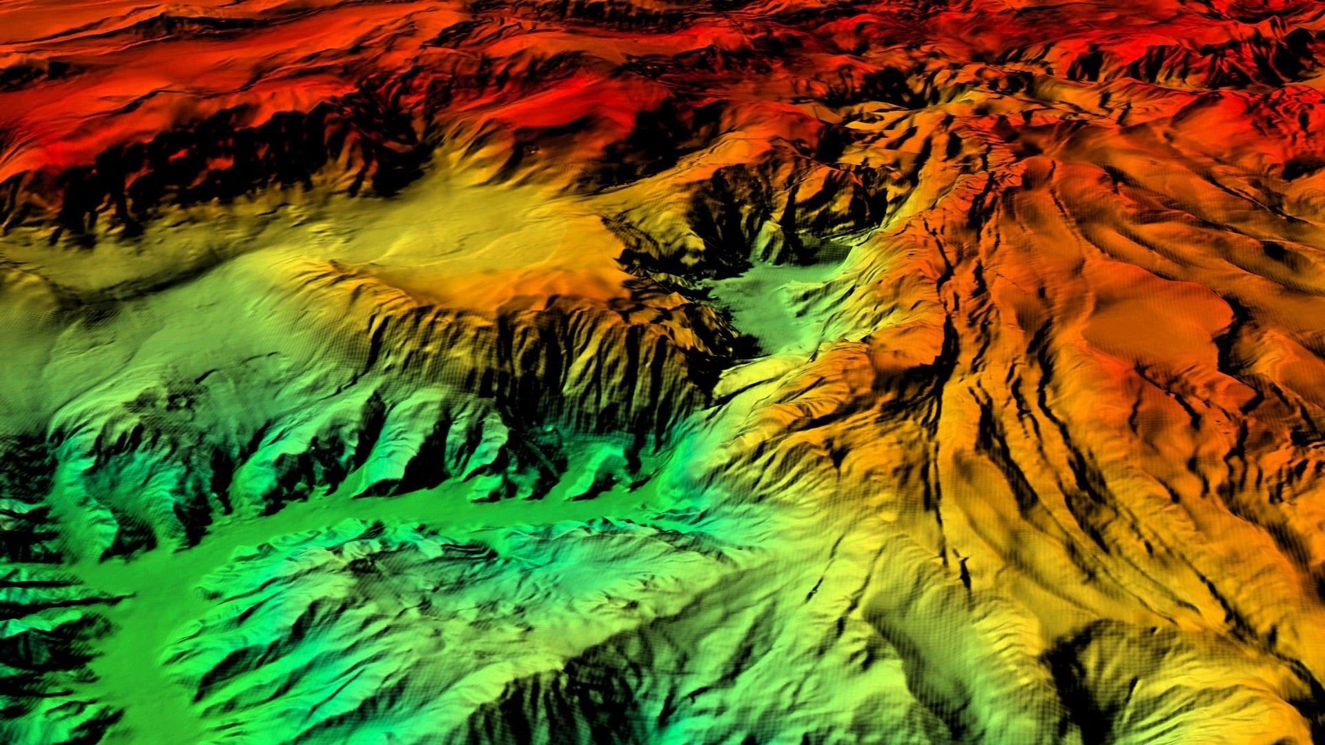
GIS supports the kind of detailed ocean mapping that is crucial for marine conservation efforts and the work of Esri chief scientist Dawn Wright.
Mission Blue, founded by oceanographer Sylvia Earle, uses ArcGIS StoryMaps to showcase Hope Spots, marine areas in need of protection.
Now is the time to take a stand for better stewardship of our oceans, by insisting on a pause in seabed mining.

Esri Redistricting has 2020 census data; Esri supports United Nations Program to save the ocean;
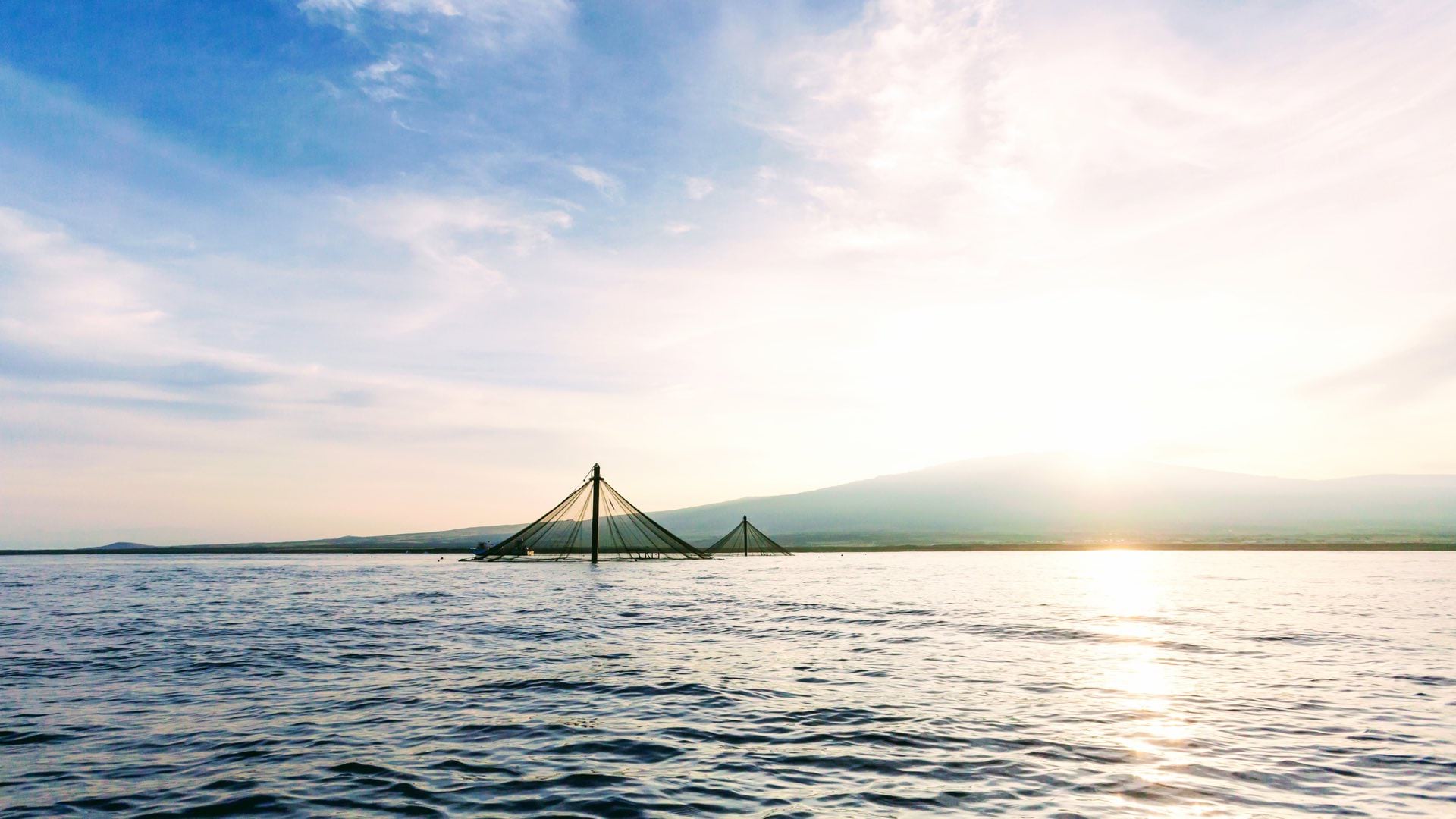
The combination of GIS, remote sensing, and networks of sensors in pens has introduced the concept of precision aquaculture.
A new version of the World Ocean Basemap gives you the ability to use your own annotation and labeling or layer your data...

Dr. Rick Spinrad from NOAA explains how technology helps sustain the global ocean economy while also safeguarding the ocean environment.
Clearwater Seafoods has gained such contextual awareness from GIS that it has installed the software on the bridge of every ship.