displaying 884 results

Good governing requires efficiency. As smart cities generate vast stores of big data, chief analytics officers uncover vital answers quickly.
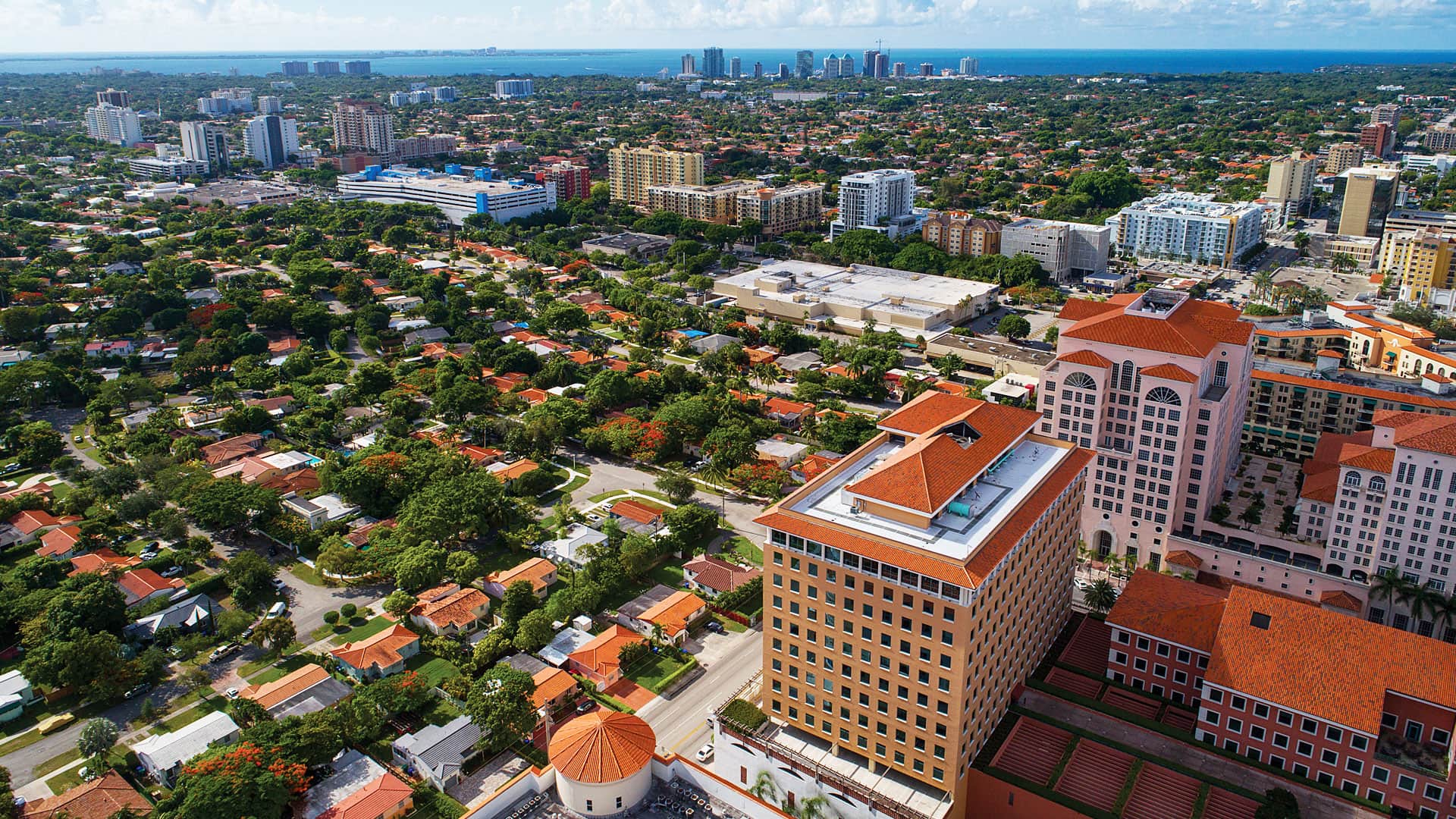
Coral Gables, Florida, used ArcGIS Hub to launch an open data site to improve access to city data and services and advance key initiatives.

With space at a premium and billions of dollars and city well-being on the line, what techniques should a city use to shape the future?

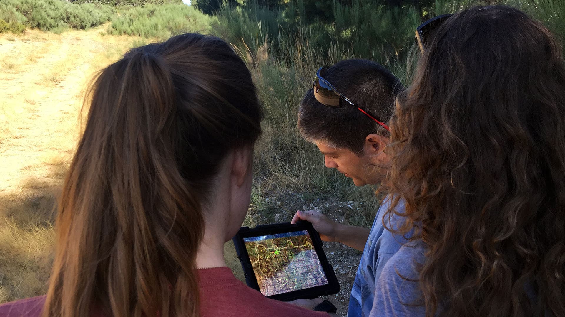
Tennessee State Parks have embraced GIS technology to empower rangers, modernize park operations, and enhance conservation efforts.
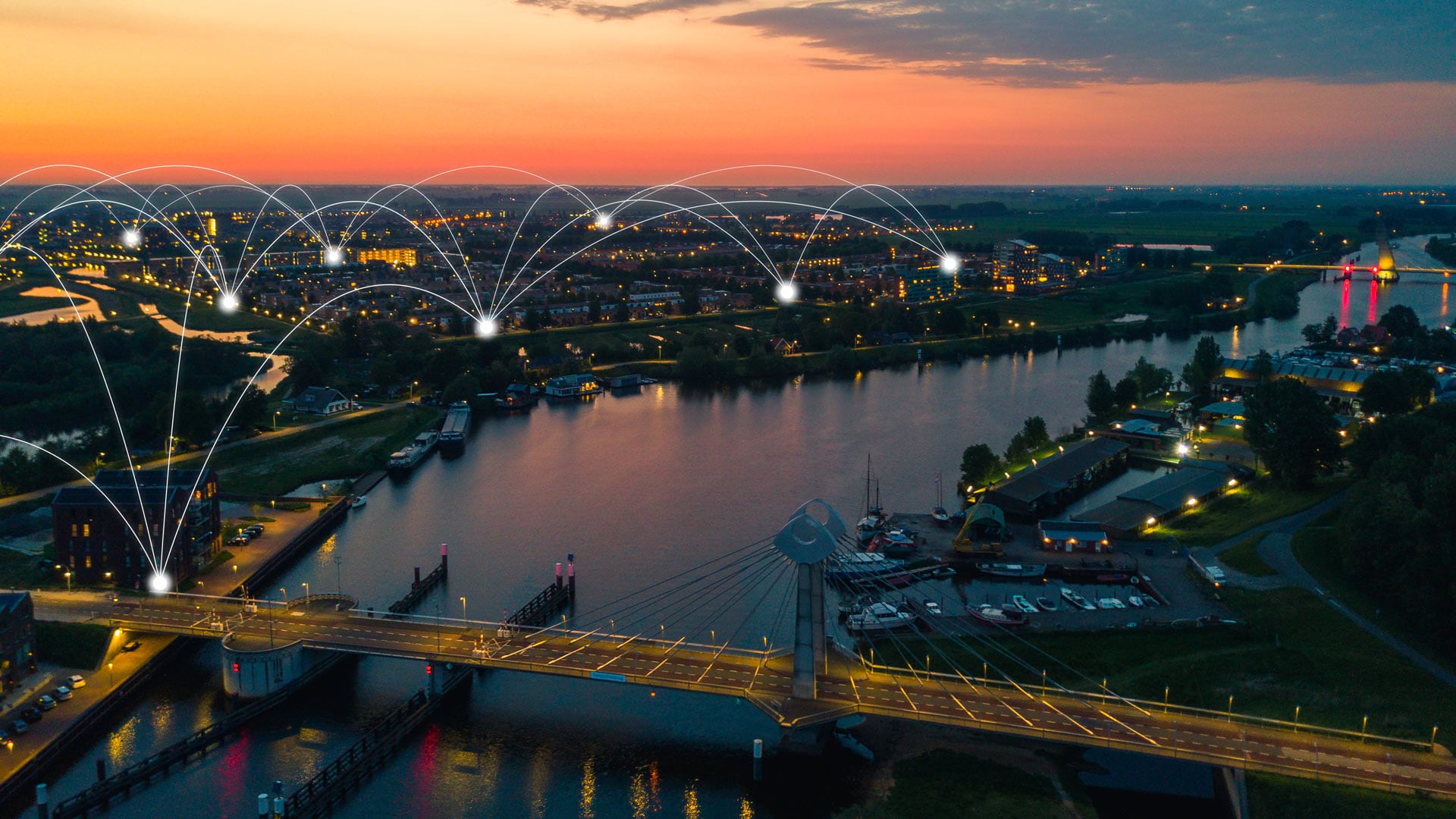
To better understand how climate change is affecting its community, the City of Zwolle is engaging citizens and increasing transparency.

As part of the February 2015 update to ArcGIS Online, Esri introduced an exciting new capability: Smart Mapping.
In 2016, the municipality of Zwolle was voted the “smartest city” in the Netherlands by Slimste Binnenstad, a platform for the Smart Cities...

New smart kiosks in big cities will give residents free WiFi—and could help support smart cities and more reliable autonomous vehicles.

In Smart City 4.0, Dr. Winnie Tang describes how startups are using GIS for the digital transformation of Hong Kong.

In geodesign, ask questions, analyze and visualize data, and tell stories.
A fast-growing global environmental consulting firm uses GIS and smart maps for collaboration, communication, and project management.