displaying 4344 results

A new accessible color palette for syntax highlighting has been added to the editor in Map Viewer to add people with low vision.

Saudi Arabian Oil Company (Saudi Aramco) manages its huge network of transmission lines with GIS.

FEMA Administrator Deanne Criswell urged GIS professionals help build a more resilient world at Esri User Conference.

What is the Spring 2022 issue of ArcUser and how to continue receiving print issues.

Some recent GIS graduates share the courses, skills, and software training that they have found beneficial.

ArcGIS GeoBIM delivers an easy-to-use web-based experience to explore and collaborate on BIM projects and use data for multiple systems.

Esri Press publishes textbooks on geographic science, GIS mapping, crime analysis, human geography, and other geospatial subjects.
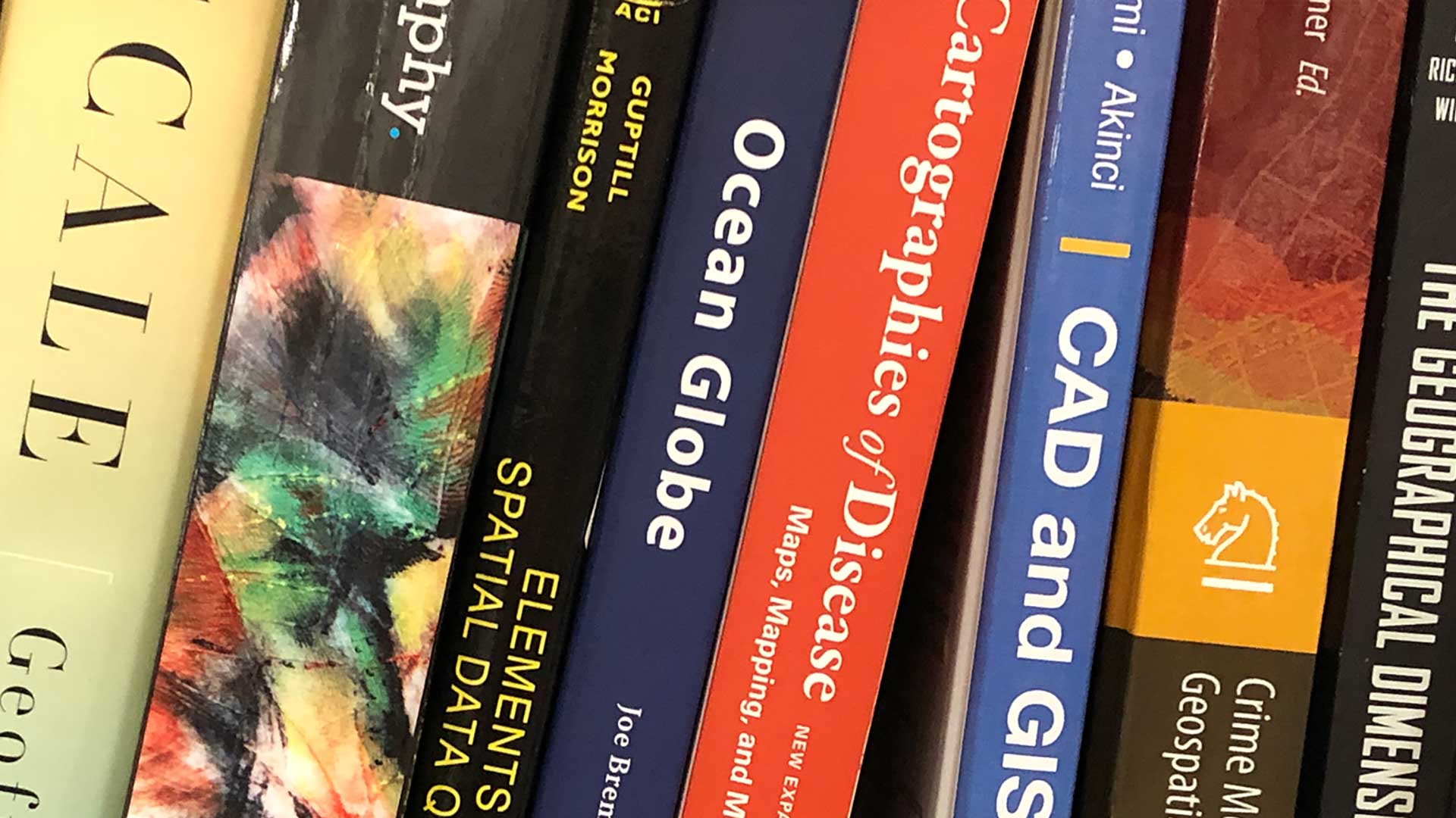
Esri Press publishes new books on geographic science and climate resilience

GIS software tips for mastering ArcGIS Pro tables to communicate information more effectively.
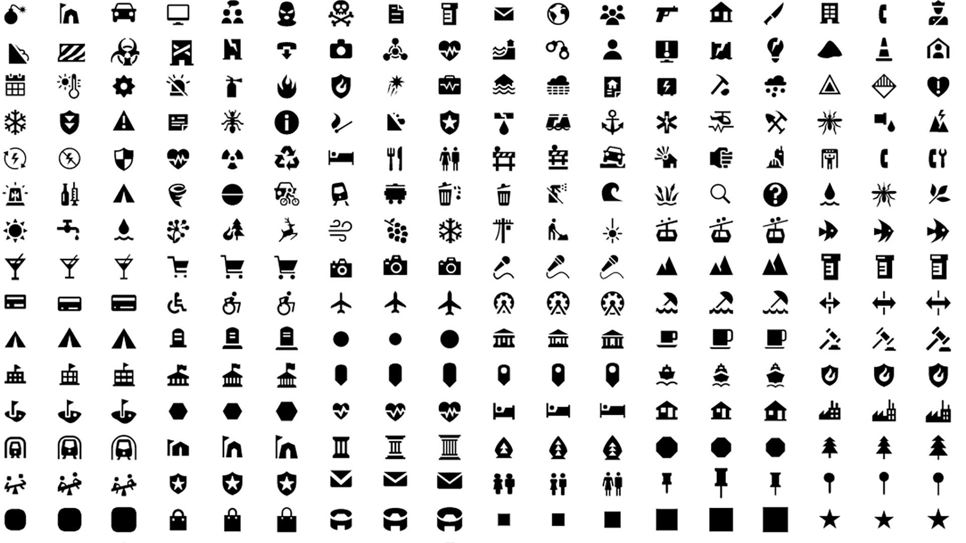
Esri’s design system (Calcite) enables you to create beautiful, easy to use, and consistent experiences across apps with minimal effort.

These six keys help a company build and sustain a geospatial culture:
Esri makes ready-to-use geospatial artificial intelligence models available in the ArcGIS Living Atlas of the World.