displaying 1360 results

Applying the Benefits of Geography Everywhere

New Esri Press books explore how to use GIS for public health and safety, how cities can collaborate using maps and data, and thematic mapping.
New Esri Press books explore how to collaborate using maps and data, how to use ArcGIS Pro 2.8, and the rich diversity of thematic mapping.
The Group on Earth Observations (GEO) has chosen Esri as one of its first associate members.

The World Geospatial Industry Council (WGIC) brings together the most respected leaders in the geospatial industry under one umbrella.

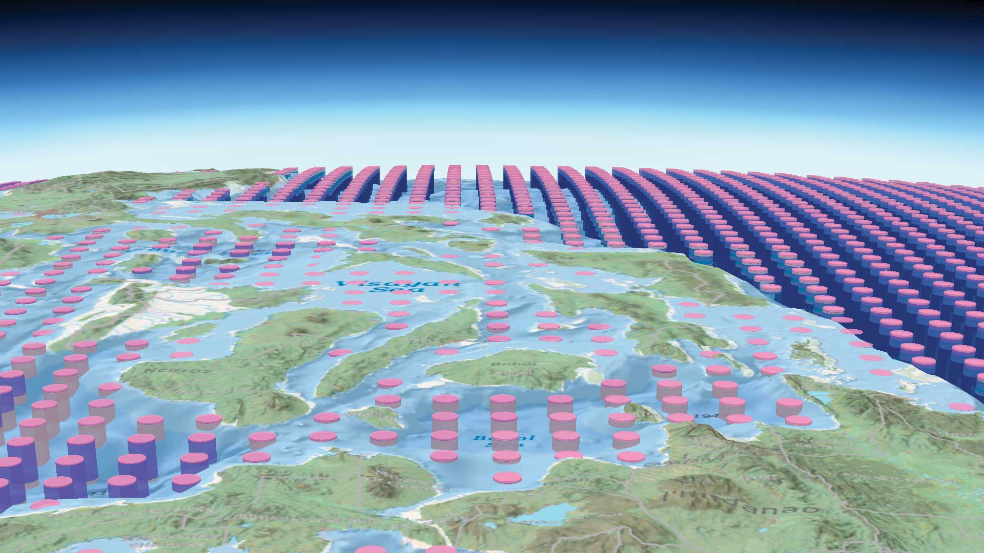
Sound data provided by recognized, local sources should be the same data that appears in statewide, national, and international datasets.

A Florida University combined geography and art in an innovative new class.

After Hurricane Sandy, Iberdrola USA utilities companies used Collector for ArcGIS and ArcGIS Online to create a new, all-events assessment.
Offering Opportunities to Learn, Connect, and Collaborate
The software system now has shared editing, enhanced data management capabilities, a new home page editor, and more.

Users have more flexibility when sketching buildings, can get real-time feedback on goals, and have more tools for collaboration.