displaying 917 results
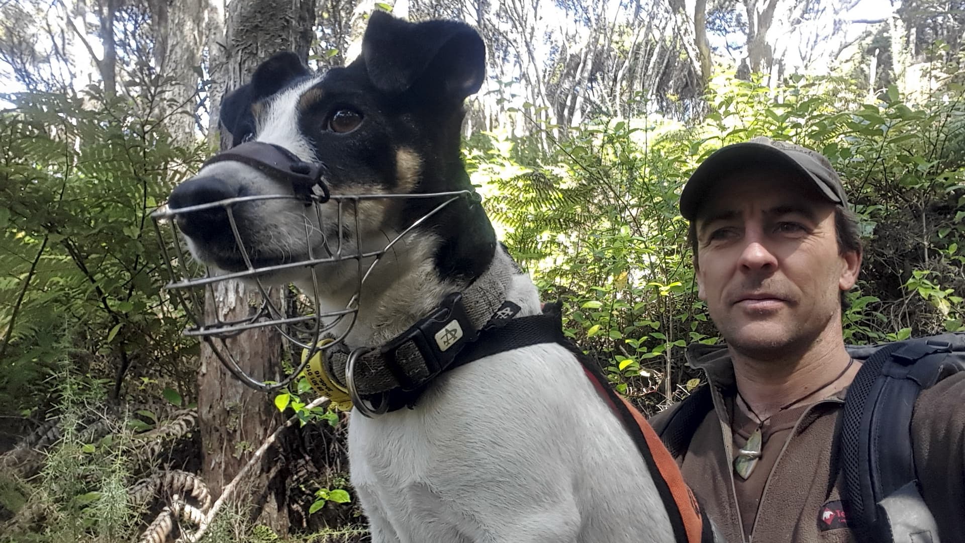
Connecting traps to maps provides a tactical advantage for conservationists in their battle against New Zealand’s predators.
PenBay Media and Esri partner GISi use the ArcGIS platform to help EPA scientists make more informed decisions...

Need to brush up on your ArcGIS Pro skills? Want to learn about GIS and sustainability? Check out these new books from Esri Press.
Do you need to refresh your ArcGIS Pro skills? Would you like to learn more about spatial statistics? Check out new books from Esri Press.
William Shuart uses drones and the latest Esri technology to help students at VCU bolster their skills for their future careers.
Suborbital reusable launch vehicles (RLVs) will provide the next generation's foray into space exploration.
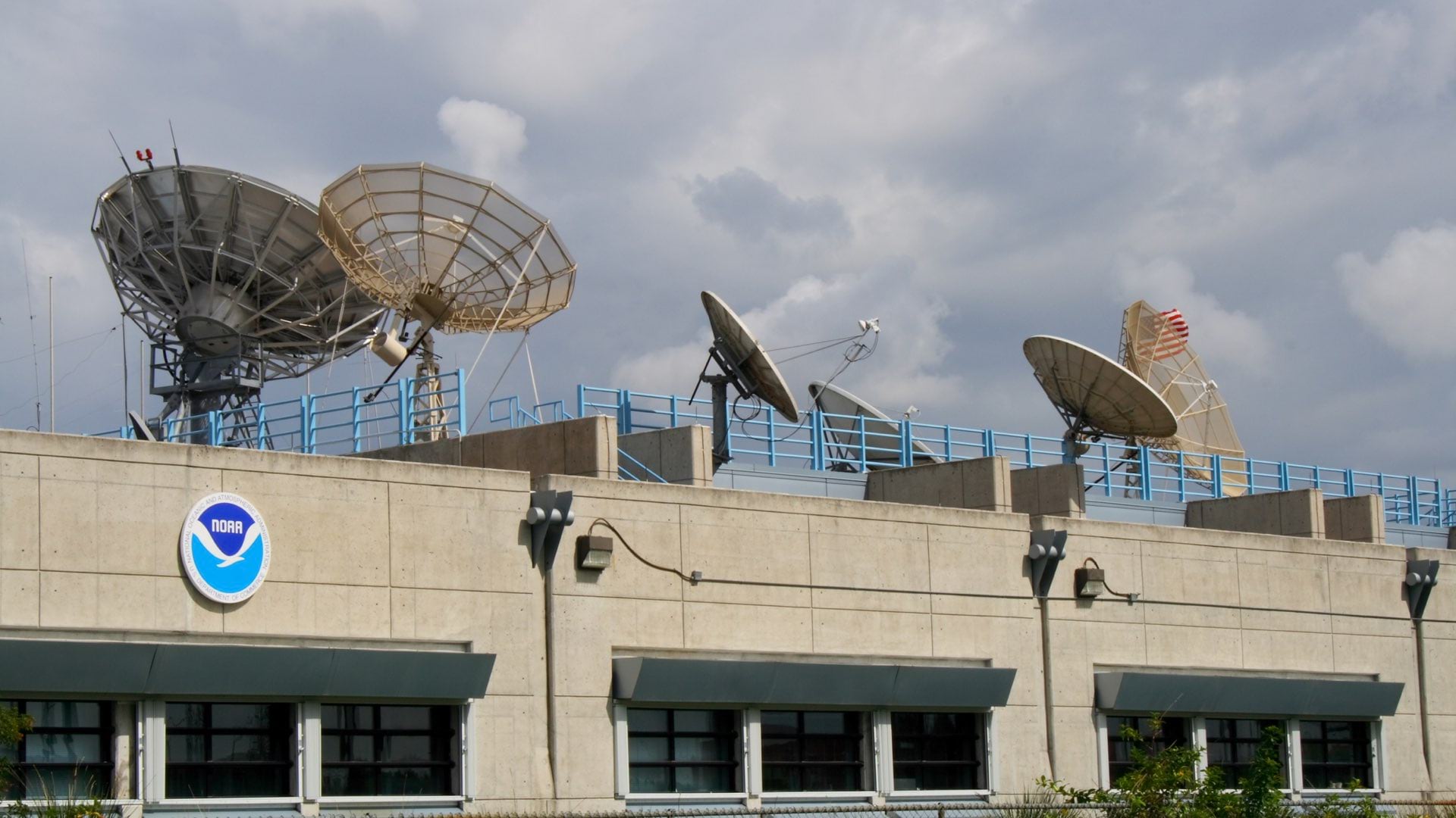
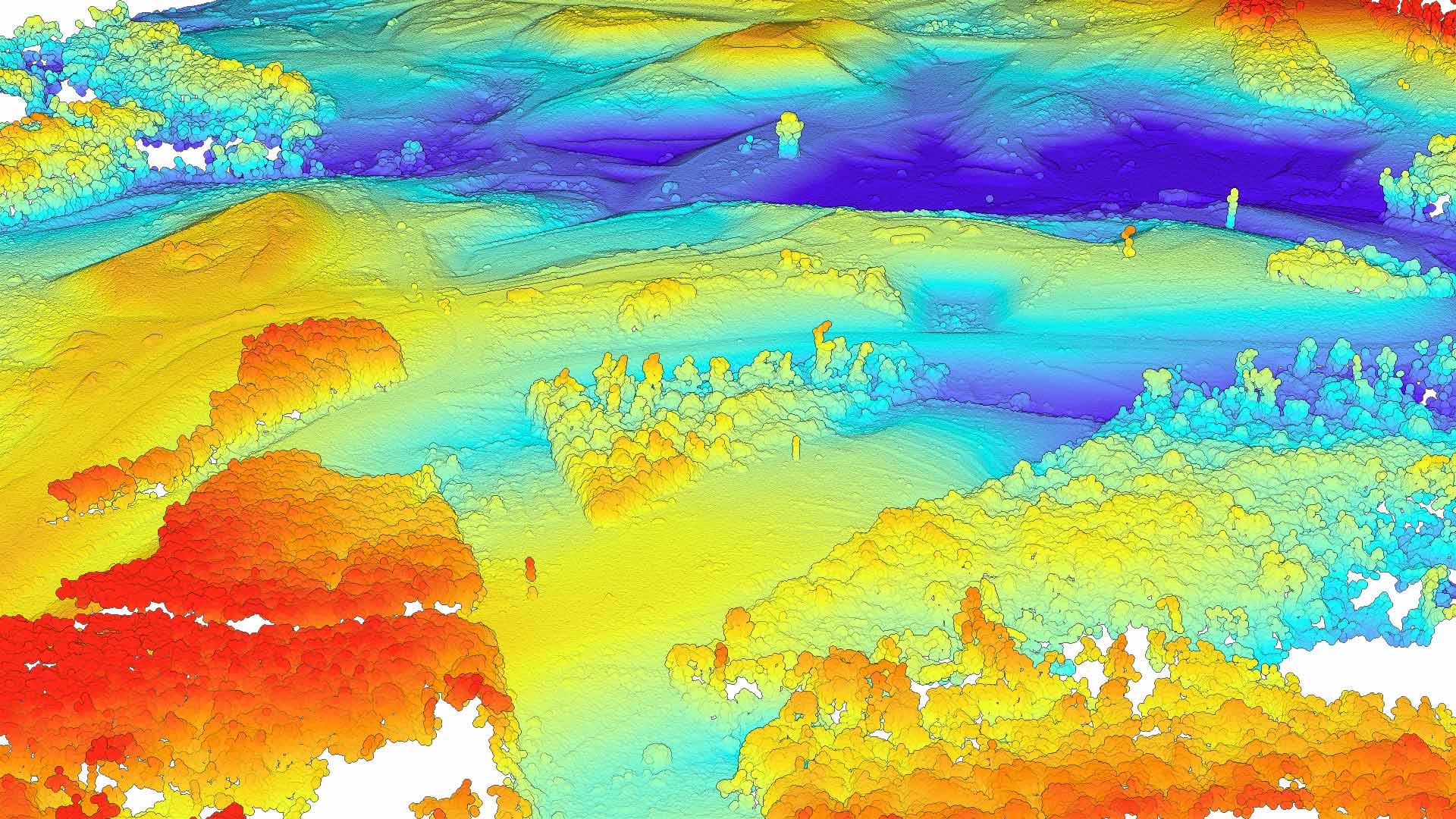
Joseph A. Pica discusses the value of a comprehensive repository of oceanic, atmospheric, and geophysical data about our planet.

GIS provides ways to mitigate climate change challenges that provide reasons for hope.

The combination of GIS, remote sensing, and networks of sensors in pens has introduced the concept of precision aquaculture.
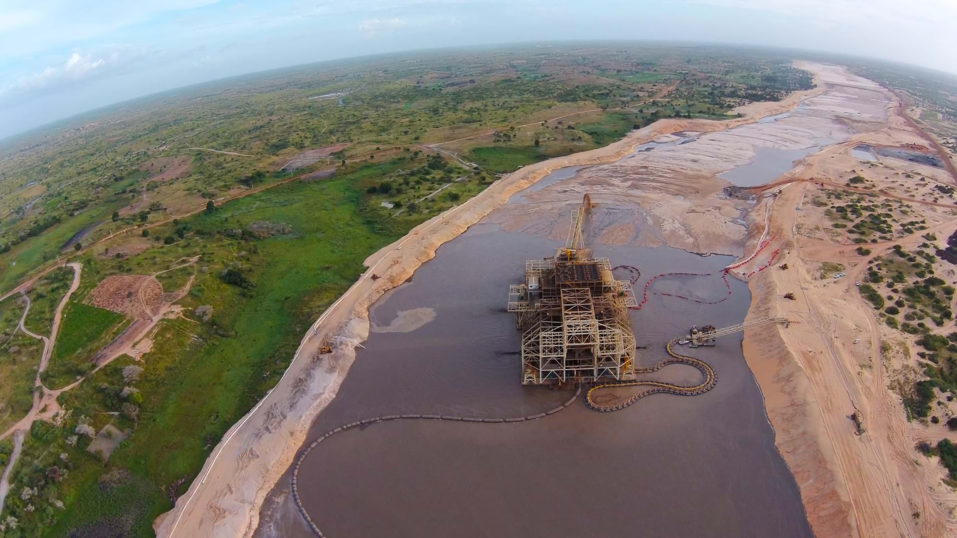
Eramet has embraced GIS as an enterprise tool to monitor environmental impacts and achieve EU-level regulatory compliance worldwide.

A comprehensive ArcGIS Hub site aggregates data on waterways, making it accessible to the public and easier to use for collaboration.

Students at Villanova University were able to use the technology to continue learning and discover trends and patterns in their data.