displaying 997 results

With COVID-19 transmission now due largely to community spread, it’s imperative to adopt a location-focused approach to contact tracing.
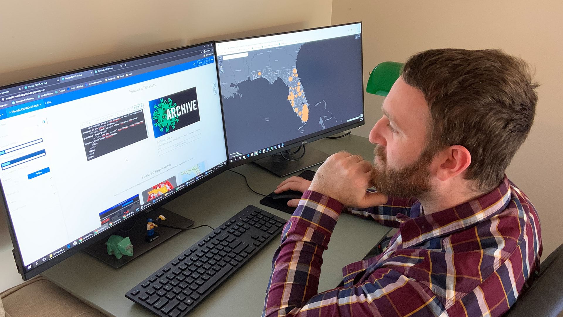
Open data sites help residents and local officials protect their communities, stay safe, and prevent infections.

The author applied the geographic approach and GIS to answer questions and help people throughout a diverse career.

The ArcGIS 3D Analyst for Desktop extension helped public health workers in Cerro Gordo County, Iowa, find the source of arsenic-contaminated...

Newly published Esri Press books spotlight GIS in state and local government, health, and conservation.

Health and government authorities use location intelligence to find and help vulnerable populations amid the COVID-19 pandemic.

Sightsavers, an Esri Nonprofit Program participant, is using GIS to fight infection-based vision loss.

New books include one from the Jane Goodall Institute that details its holistic method for conservation, plus others on mapping and GIS.
Create a game-changing app that will help communities better understand and reduce the impact of climate change on health.

Interactive web maps let site visitors analyze poverty, childcare deserts, and health-care access to better aid youth in South Carolina.

The real-time data sharing, analysis, visualization, and planning capabilities will be key to equitable and speedy vaccine distribution.

San Bernardino County uses spatial analytics and smart maps to better understand the public health needs of communities it serves.